Tide Line Mug
$38
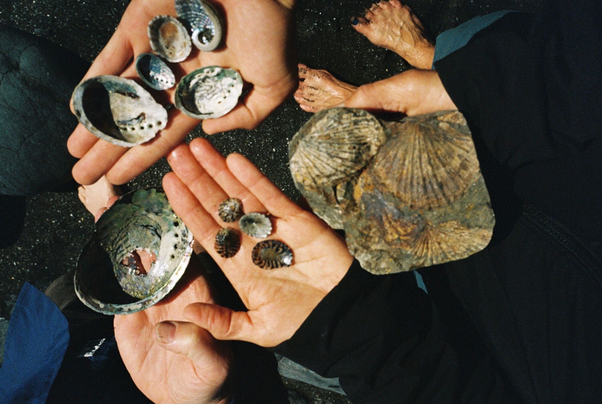
Each piece is cast in sand from stones and shells gathered on walks, so no two come out the same. Wear a small piece of the place it came from.
Stones and shells are picked up on walks along beaches, rivers and trails.
Each one is pressed into packed casting sand to leave a clean impression.
Molten metal fills the mold, then every piece is hand-finished and polished.
New pieces are on their way.
The first collection is still being sand-cast. In the meantime, if you’re interested in a custom piece, send me a message.
My sister is super talented and makes pottery! I like to scribble some designs and paint every now and then. Check out our stuff below!
A little online journal about my adventures.
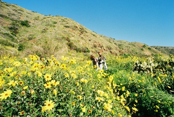
A couple of months ago I was wandering a trail, overthinking about how I would speak to a small group about Indigenous history. I was carrying a simple canvas bag at the time; it held a couple of artifacts that had been found on the island over the decades…
A steady deposit. Diagenesis, compaction, uplift, erosion. Darkness. A renewed awakening…
Paddling the length of Southeast Alaska
A solo kayak journey from Ketchikan to Skagway, told in parts.
A couple of months ago I was wandering a trail, overthinking about how I would speak to a small group about Indigenous history. I was carrying a simple canvas bag at the time; it held a couple of artifacts that had been found on the island over the decades, cared for with guidance from Tongva1 community members and used for educational purposes. It was my first time being with the stones, and I remember being especially aware of their weight. I was afraid I wouldn’t do them justice. Afraid it wasn’t my place to share.
These stones are not my stories.
These singing stones that hold the sweat and songs, the prayers and tears of generations who have lived upon this island.
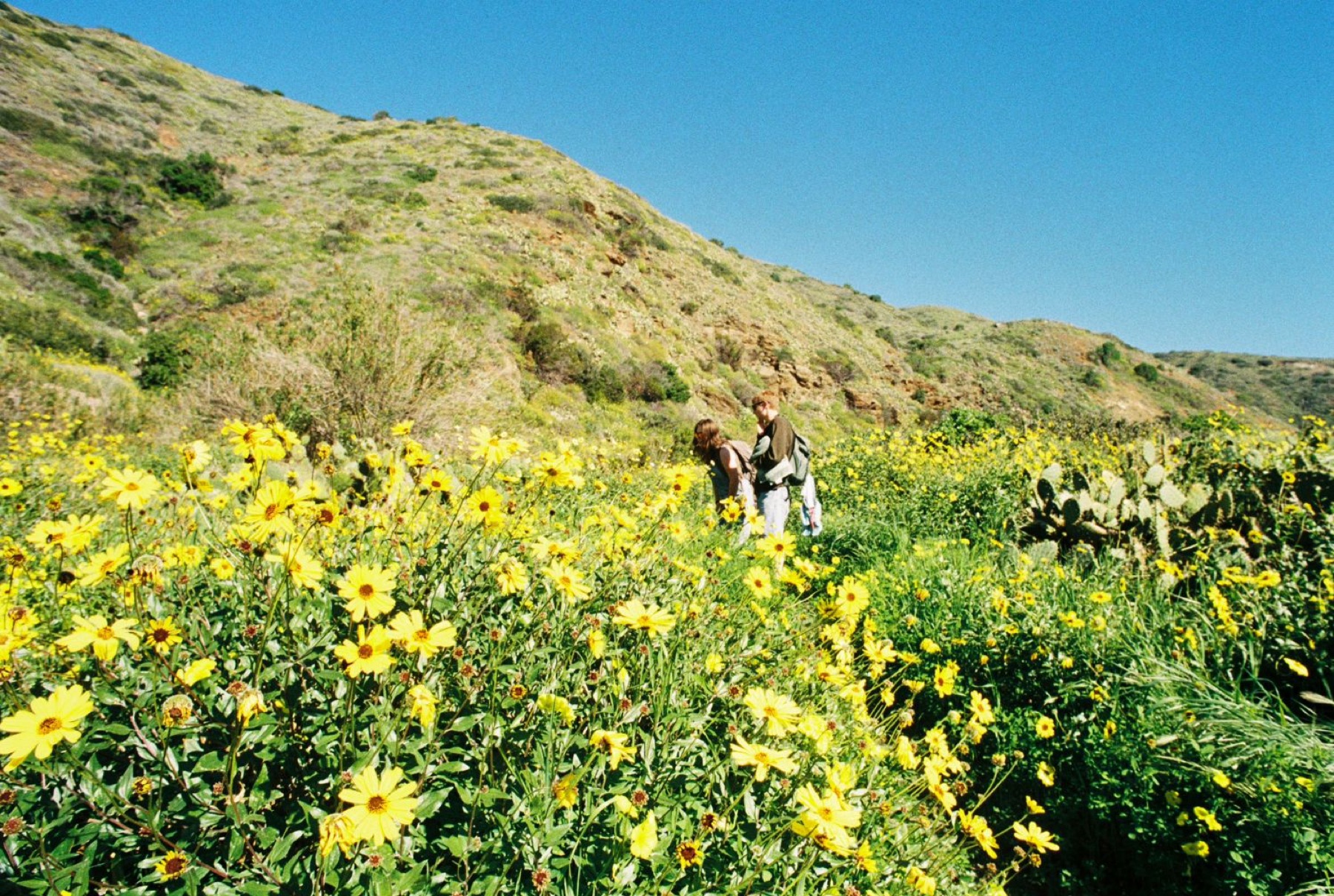
As my thoughts began to race, I glanced down at the ground (as I often do) and noticed a sort of pendant. It was a small stone artifact carved from the soapstone outcrops embedded in this land. Made hundreds, maybe even thousands, of years before I stepped foot ashore here. The shape resembled a teardrop, with a single deliberate line running across its center. It felt like an echo of knowledge lost from a landscape now overrun with colonialist yellow flowers. I lifted the pendant carefully. It had been shaped by human hands and briefly rested between my thumb and forefinger.
A very aptly timed worry stone.
Another person’s hands had once held this same stone in this same landscape. Hands that so intimately knew the rhythms of this island in ways mine never will. Hands that understood the valleys, the waters, and the stories woven into this place. And for this thin slice of time, separated by millennia but connected by the steatite2 artifact between my fingers, we touched the same pendant.
There is an island off the coast of Southern California called Pimu. On that island a valley awakens with spring rains, its seasonal waters carving through dried earth and carrying silenced stories toward the sea.
Beaches are scattered with rounded amethyst fragments and remains of a life lived at sea. I like searching the ripples, collecting or admiring the treasures that decide to present themselves.
Here’s a little poem I wrote there:
The rocky beaches are dressed in a single black uniform from a distance;
however, upon closer inspection, no two grains are exactly alike.
I wish the pebbles could tell stories.
But the moon chuckles.
The waves don’t have time for a break.
So they tumble each stone into a rounded specimen,
each one settling among sea glass and shell fragments.
The waves are short-lived,
always returning to our greater blue marble.
They will long outlast the pebble fields.
Which don’t seem to have much worry about the distance they’ve traveled,
Or their original quarry.
Perhaps the pebbles know far more than we want to acknowledge.
Has anyone thought to ask?
Many of these pebbles’ journeys began in the wash on the north end of the shore, a place where intermittent waters flow and the stories of rounded stones are once again tumbled into embrace.
I once found an abalone shell high up this wash, someone had carried it from the sea.
A snack, perhaps.
The shell had rested there a longe time, back when the natural world wasn’t a stage or backdrop in our lives. When the bubbling spring water was the world you breathed.
I tried lifting it gently but it crumbled in my fingers.
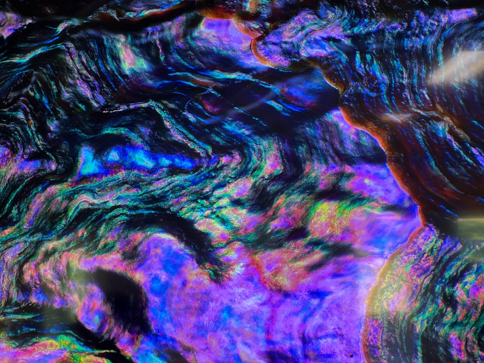
The shell was pure white, its usual pearlescent layers bleached by centuries of sun.
I thought about the sun. The sun gives life.
A laurel sumac shrub clung onto the collapsing bank beside me, grasping to any remaining sediment before its story, too, was carried to the sea. I noticed it had begun to unfurl some new leaves, each one reaching for the same light. The leaves were corresponding with the rays; u-shaped at the top of the shrub to conserve moisture or minimize sun exposure. I’ll sometimes wear a brimmed hat against the sun and cup my hands to bring water towards my mouth.
We are not so different.
It’s strange to see plants putting out new leaves while the shell grew brittle, its typical iridescence faded and absorbed by the earth.
A natural degradation, it didn’t feel like a loss. I knew its minerals would return to the water helping nourish the kelp. Nothing is wasted here.
There is something sacred in this cove, its connectivity and the constancy of nature’s cycles. A place where ancient cherry trees gather in quiet community, and where visitors are invited, however briefly, into that same sense of shared belonging. The rhythms of a place where everything remains connected.
To be lost in wonder about the layers. To sit in a field of green and realize that the ancient midden3 beneath your feet is nourishing the very plants that surround you. The flowers you pick sprout from the generations and stories whose lives are held within the landscape itself.
Having a relationship with a landscape is to know its layers, to understand that each dried creek bed, valley, and every pebble carries memory. To sit in these places and recognize how deeply your own life becomes intertwined with those layers.
Perhaps my responsibility is not to speak for the stones, but to help others listen. To acknowledge their weight and the stories they still offer.
Better to share than to let silence erase what does remain. Better to preserve the histories and native ecologies slowly disappearing beneath waves of black mustard and fennel. Better to offer the knowledge you do have, carefully and humbly, and invite others to also wonder about the lives underfoot.
To consider the weight of stone is to come to an understanding of our own place in the world. How have stones shaped you?
And maybe if we are fortunate enough to be entrusted with something from a place, we owe something in return.
“Give thanks for what you have been given. Give a gift, in reciprocity for what you have taken. Sustain the ones who sustain you and the earth will last forever.”
Robin Wall Kimmerer
A steady deposit. Diagenesis, compaction, uplift, erosion.
Darkness. A renewed awakening. Our flesh whittled away by new inhabitants of this world; bit by bit, a steady process, a shared technology. Fastened, thrown, sharpened, swallowed whole by the earth. A new embrace? We remember the landscapes; prairie fields, glacial recession, sheltering, welcoming, nascent. We remember the caribou. Our Caribou. We remember the light. Our light. We take life, we make life. We are everything that needs knowing, we hold all awakenings.
The story of one is the story of us all. Because the land belongs to those who cannot die. Eternal ownership.
I was given these artifacts a few years ago by a friend of a late relative. He collected them on his private farmland in Michigan in the mid-1950s. Spear points, arrowheads, blades, and drills: the tools date from the Early Archaic to the Late Woodland Period, spanning roughly 9,000 years of Indigenous habitation. There are hundreds of lives and stories in this 20-second clip, so feel free to pause on any artifact and take a moment to appreciate the individual behind it. Each of these pieces carries traces of the hands that shaped it, a methodical chipping and shared technology that took place thousands of years ago. They speak to lives lived closely with the land.
I thought about driving to Michigan and bringing these back to their original fields, but a gravel processing plant has taken over the same location. Since the artifacts have lost all their contextual information, including their spatial relationship with other artifacts and with their own environment, I figured documentation, accessibility, and public outreach would be a good thing to do!
With the current federal administration and the reduction of “public” lands and monuments to gas, mining, and oil interests, I wanted to share this video as a reminder that the United States is native land. Public land is native land. Please treat the natural world kindly.
← Back to Chronicles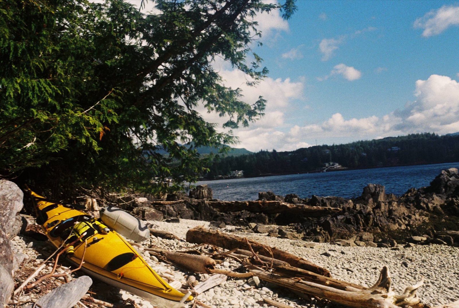
I pushed off from Ketchikan around 10:15 in the morning, riding the tail end of the flood northwest through Tongass Narrows, the channel between Gravina and Revillagigedo Islands. The current ran much stronger than I’d planned for. Between the chop and gusts of 15 to 20 knots, it was a wobbly start. The flood never matched the current tables, and it never really seemed to slack.
I crossed rough water past Peninsula Point to East Island, then made a quick hop to Danger Island, aptly named given how unpredictable the flood had been. Jellyfish drifted below the swells. Watching them settled my nerves. They weren’t fighting anything, just moving with the water, and they reminded me to stay steady and go with the current instead of against it.
I slipped past Totem Village, where massive totem poles stood watch over the water. I didn’t take any photos. I was too focused on staying upright.
At Totem Bight I tucked into a quiet bay to wait out the peak of the flood. The sun lit up the kelp beds and an old drift log, its roots twisted and woven together, full of quiet wisdom. I ate some trail mix, drank some water, and kept going.
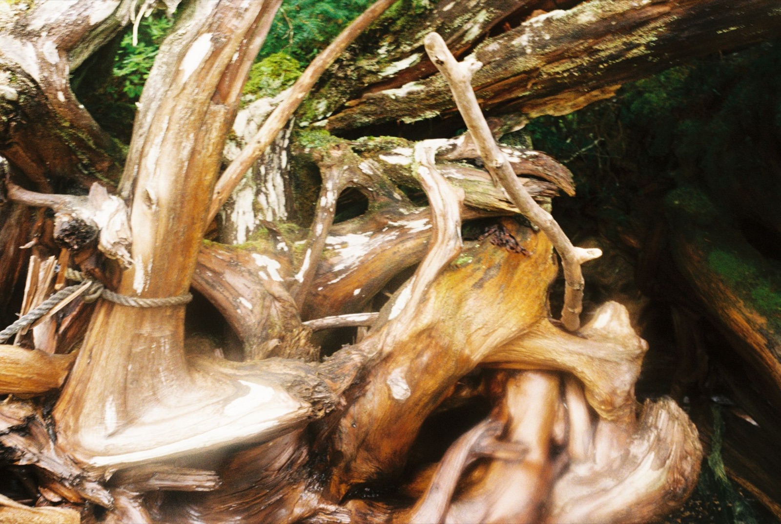
This time I hugged the shoreline more closely. Rounding Point Higgins, I spotted three or four curious sea lions popping up to watch me pass. Just before Survey Point, I waved to some people relaxing on a porch in a small bay. They waved back.
The crossing to Pup Island had bigger water than I would have liked: four-foot swells with chop on top. I timed my landing on a south-facing cobble beach between sets and made it in just ahead of a following wave that nearly swamped my kayak.
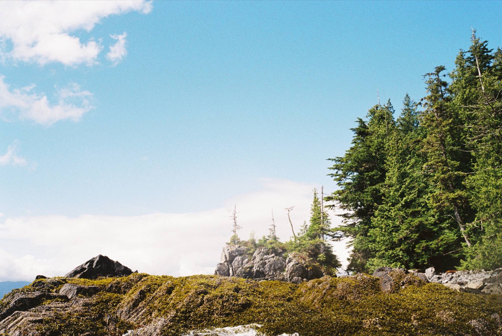
A massive trunk, weathered and bleached, stood over the beach like an ancient sentinel guarding the island. It was bigger than my paddle.
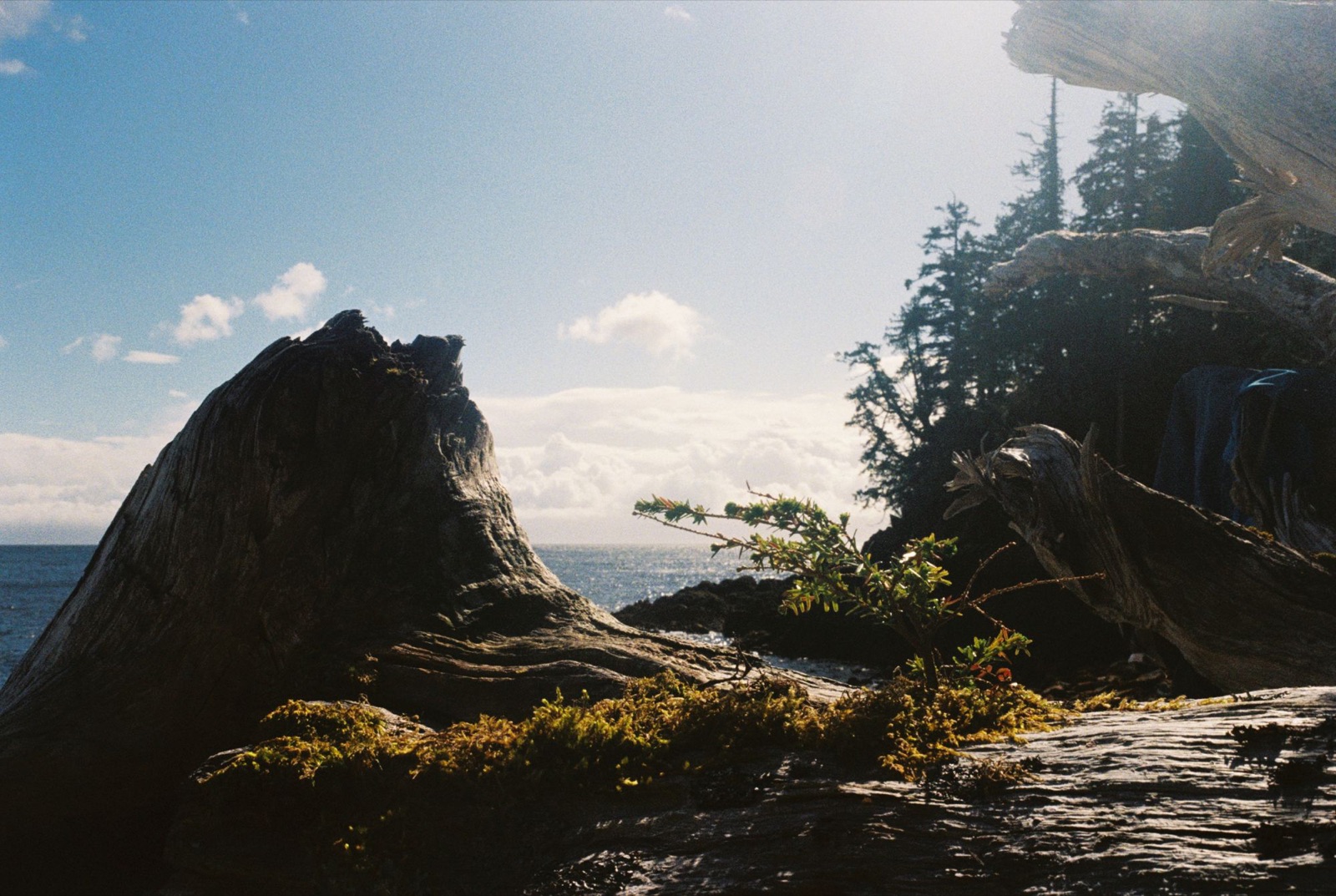
I debated making the five-mile crossing west, but the whitecaps kept me put. Wandering into the woods, I found a hidden stash of about twenty abalone shells and a piece of tumbled blue sea glass. It felt like a sign to stay the night.
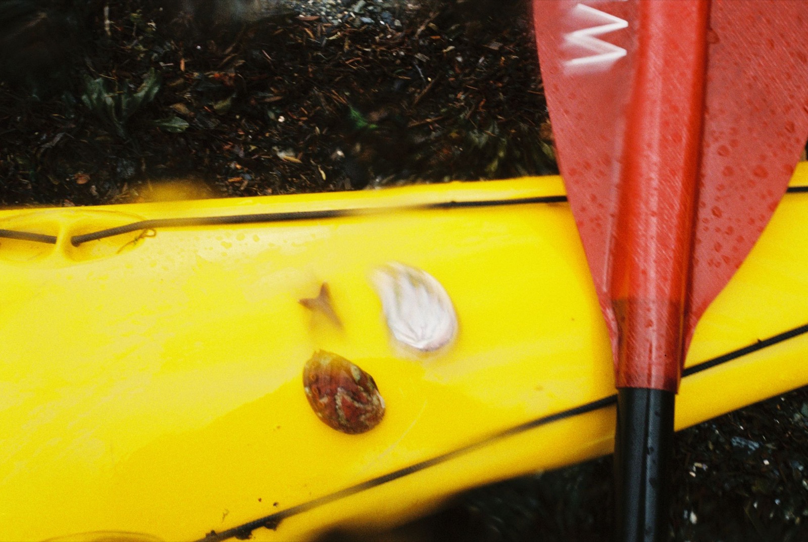
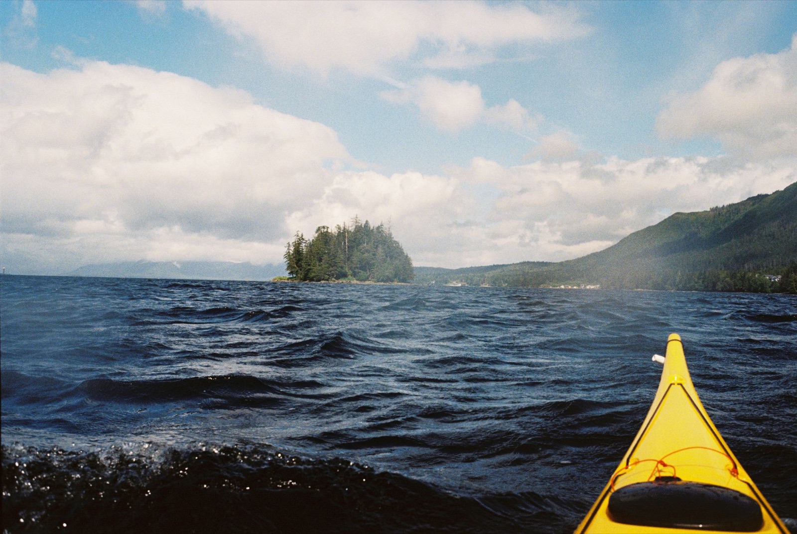
I woke at 4 a.m. to the songs of Hermit and Varied Thrushes, a Golden-crowned Kinglet, Black-capped Chickadees, and the familiar screech of eagles. Packing took longer than expected, and I didn’t launch until around 6:10. I was nervous about the five-mile crossing. Slack was at 6:30, and I still had to paddle a few miles north along Betton Island before heading out onto open water.
While packing up I found two little abalone shells. Just as I launched, a rainbow appeared south of Pup Island. It faded quickly, but it felt like a good sign. As I rounded the western edge of Betton, the full arc came into view. The wind was rising and the forecast called for gale-force gusts by afternoon, but the rainbow gave me the nudge to go.
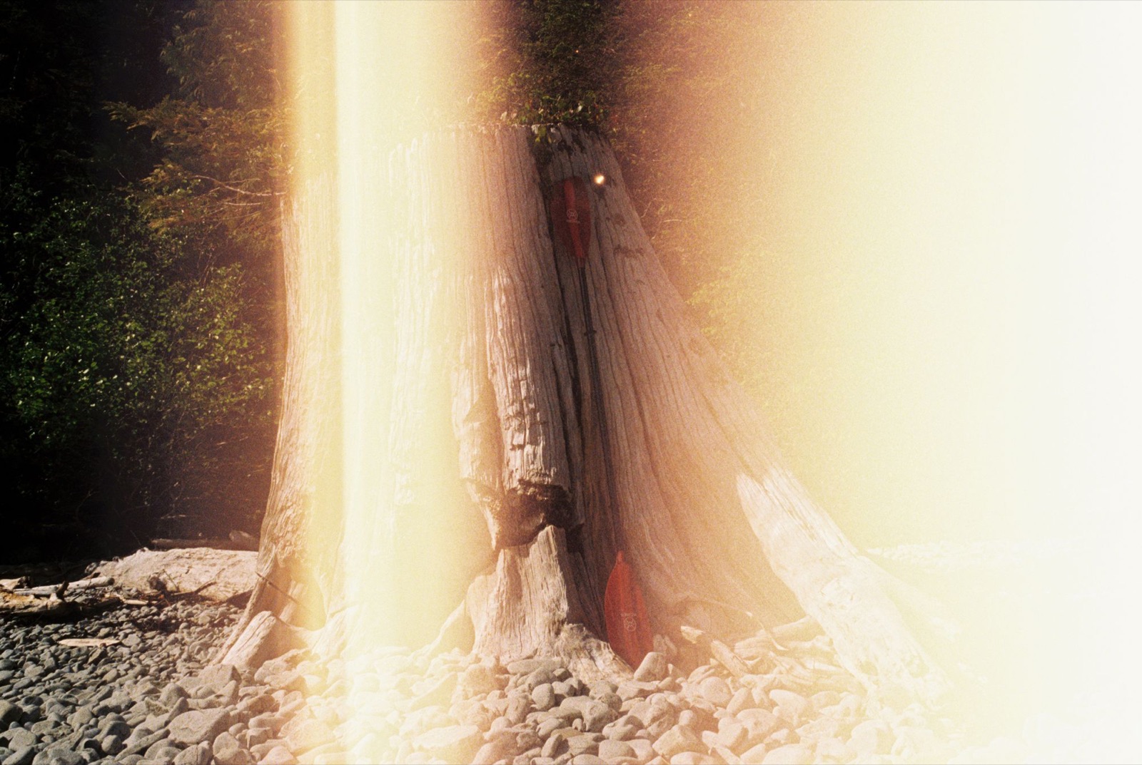
I left the shoreline around 6:45.
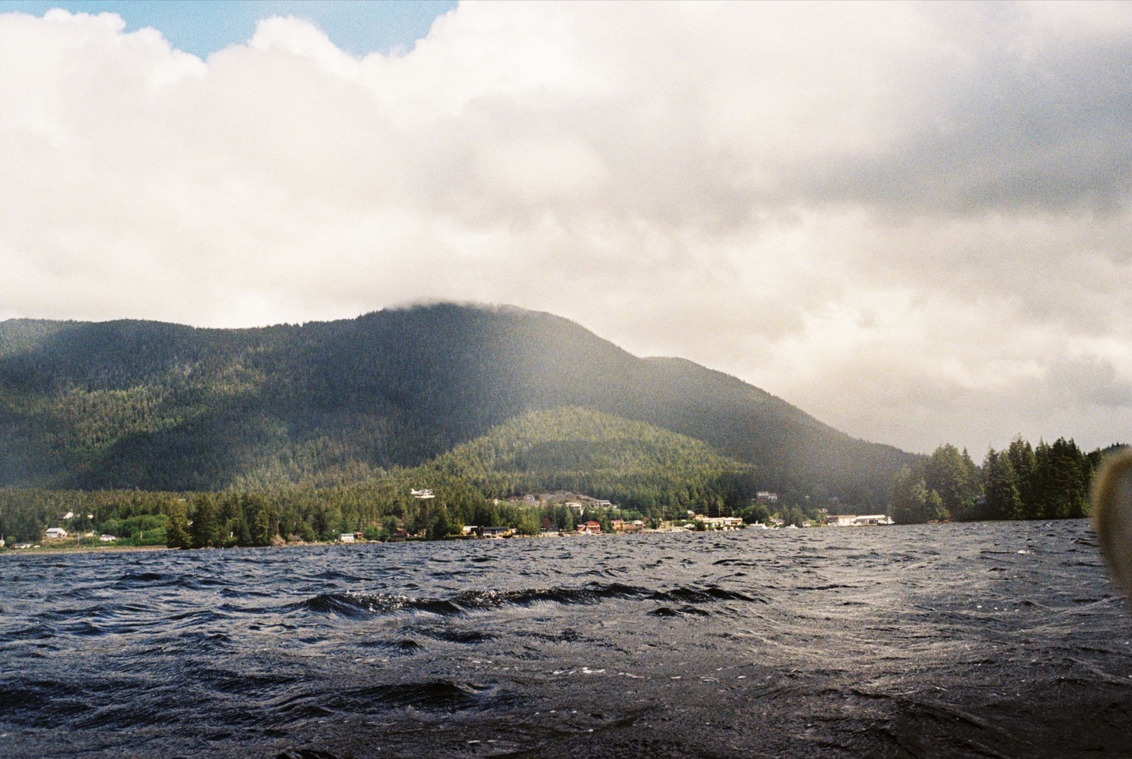
The crossing started out manageable, then turned rough: whitecaps, swells, and waves washing over the bow. I made it across without capsizing, and a white-sided dolphin joined me for part of the way. I took a breather at the north end of Bond Bay, watched a deer grazing nearby, and filled my water from a tannin-stained creek. Yummy yellow-brown water.
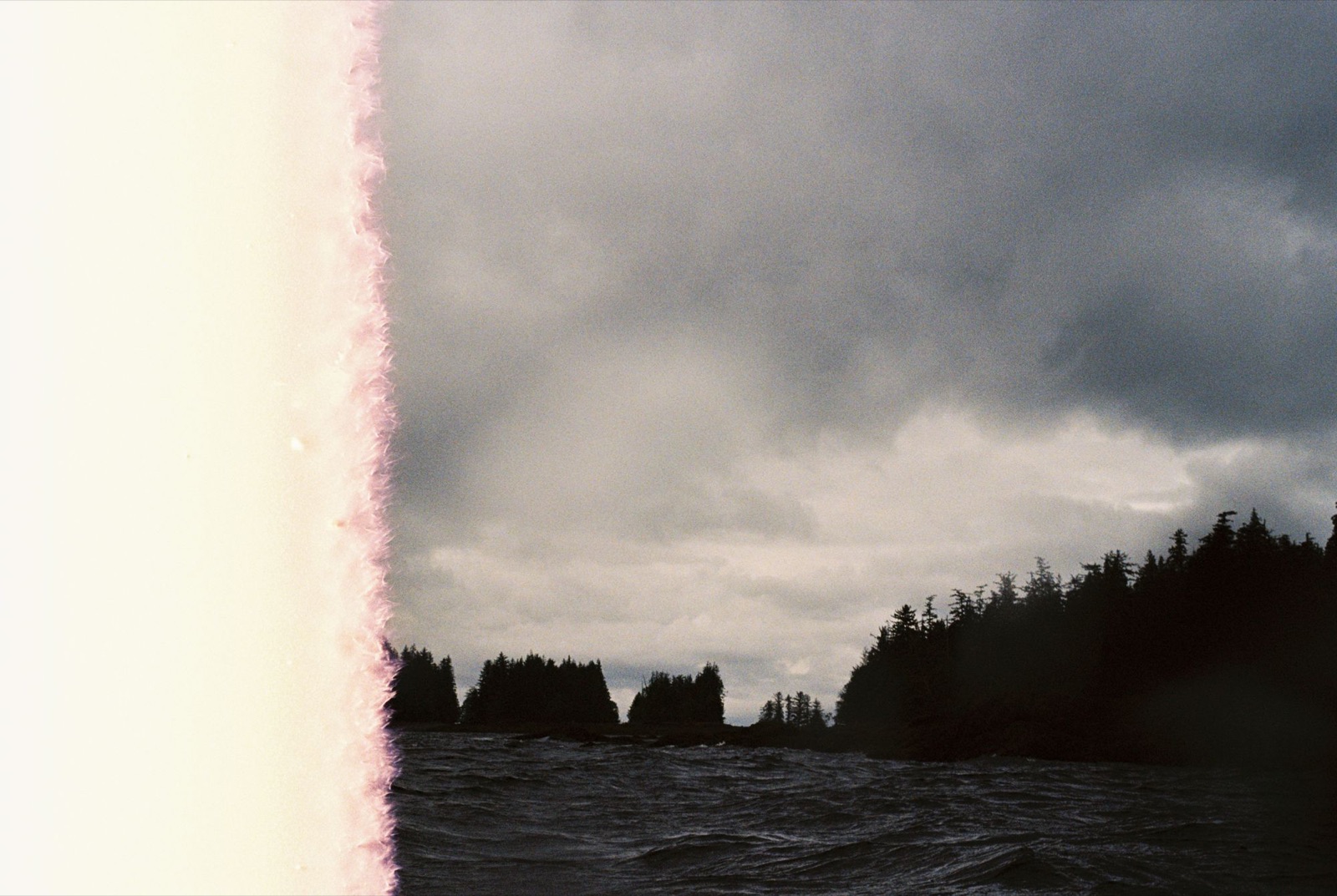
I paddled a couple of miles south, spotting Hooded Mergansers, scoters, and lots of shy murrelets. A family of six river otters was fishing nearby. They lifted and craned their heads to inspect me before scrambling up the kelpy rocks.
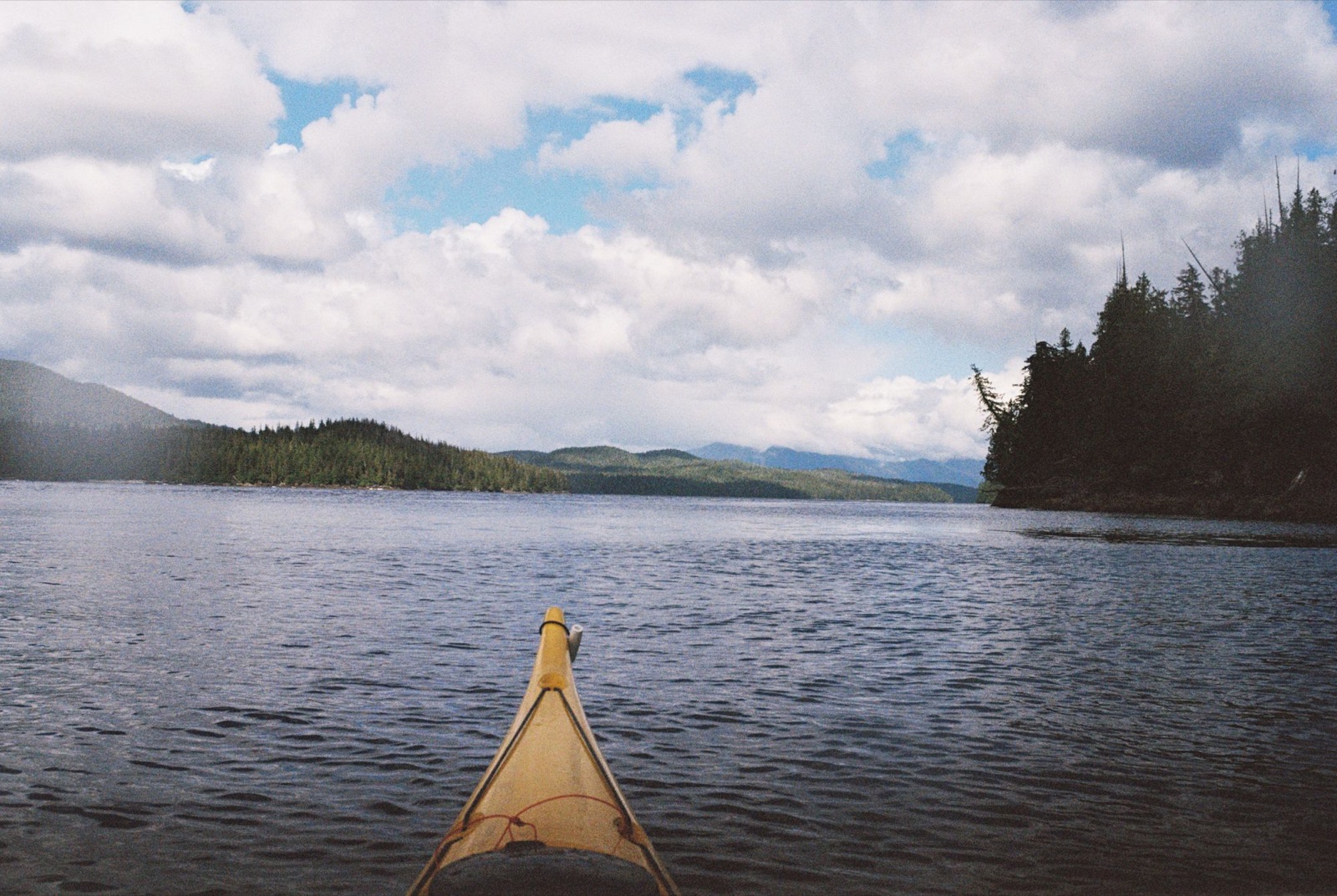
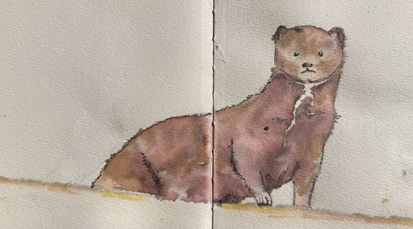
With winds gusting over 15 knots and a gale warning in effect, I found a calm, north-facing bay to camp in. Walking the schist-laden shoreline, I found a large abalone shell, and then a mink. He ran across the beach toward me, paused on a log, and tilted his head like he hadn’t seen a human in ages, if ever. Then he vanished into the brush.
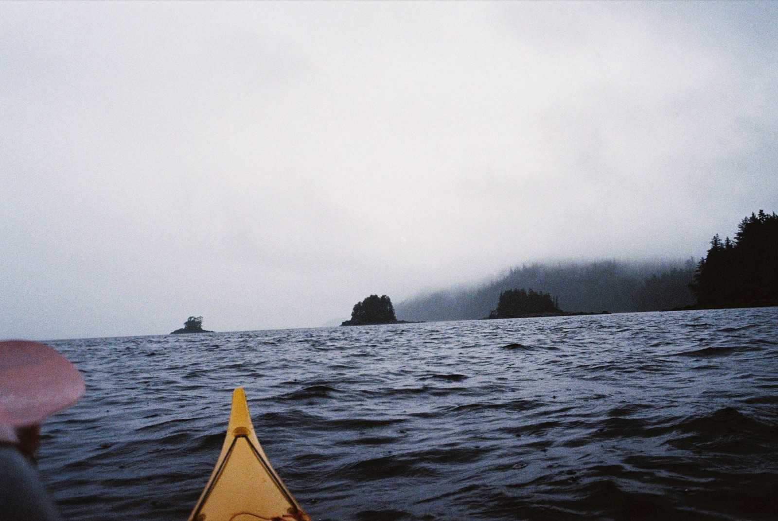
The beach kept giving: a huge barnacle, a deer antler, sea glass, bits of old pottery, and a baby bat star. I built a fire to dry my gear (lesson learned: don’t hang your underwear near the flames in gale-force winds) and came across a decomposed eagle with massive talons.
As I crawled into the tent, my friend the mink came back and darted beneath the devil’s club. I drifted off to thrush songs, eagle cries, raven croaks, and crashing surf, a little anxious about the high tide. It was a new moon, and if the wind kept building, the water could come up high.
← Back to Chronicles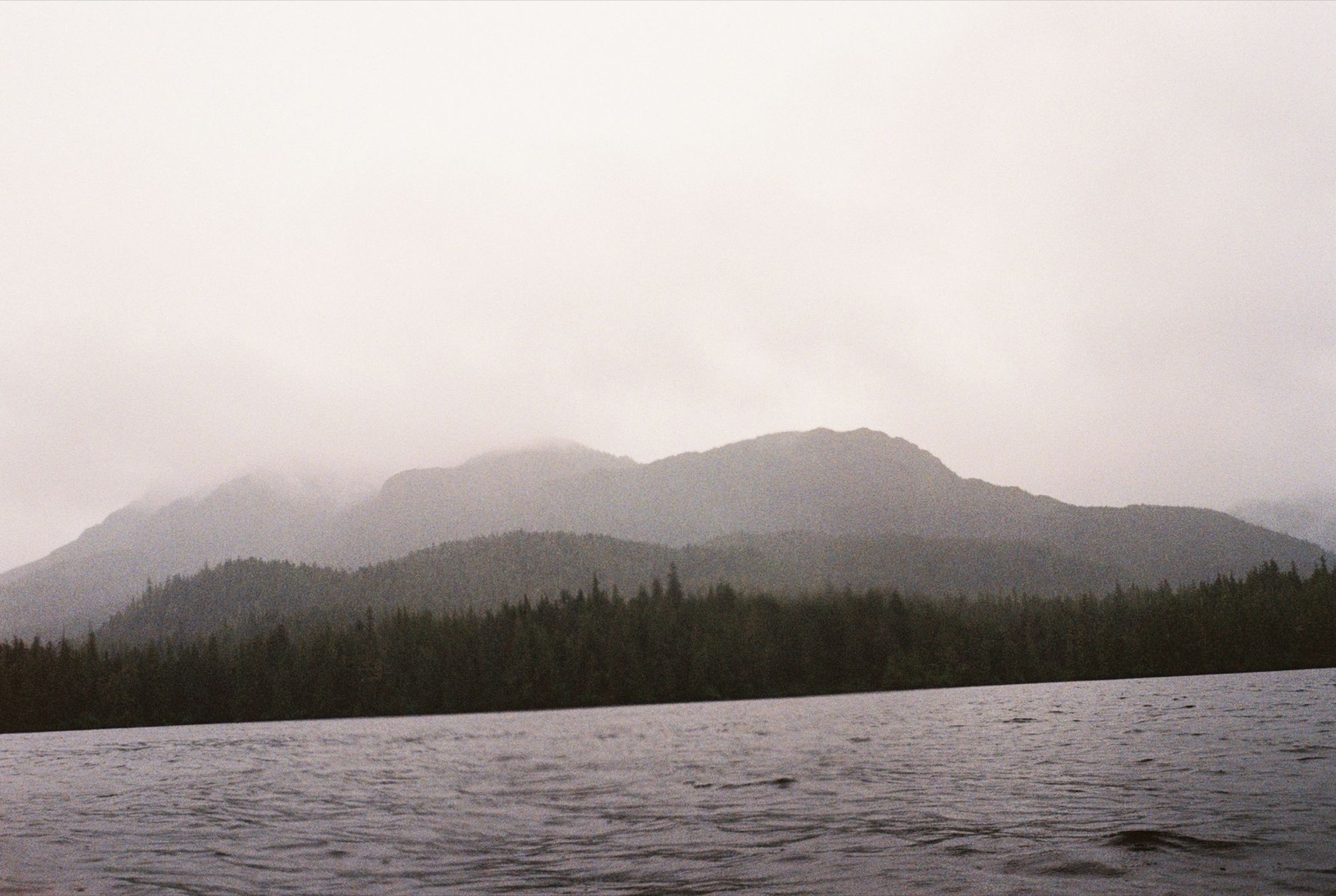
I woke at 4:10 to a Swainson’s Thrush. It was colder than the night before, and I dreaded pulling on my wet wetsuit. Eventually I stripped down, tugged it on, and sprinted up and down the beach until I warmed up. Once I wasn’t freezing, I packed up and pushed off.
The mink didn’t say goodbye, but a family of river otters was hunting near the cove, dipping in and out of the water before disappearing down the coast.
The water was choppy around Point Higgins and Caamano Point, but it settled as I turned northwest. In the wide channel between the mainland and the Kasaan Peninsula, I spotted five or six eagles perched high in a spruce. It felt like a good omen. I decided they were granting me safe passage. Around the next corner I startled a sea lion. He splashed away, then reappeared behind me and gave me a long, suspicious stare.
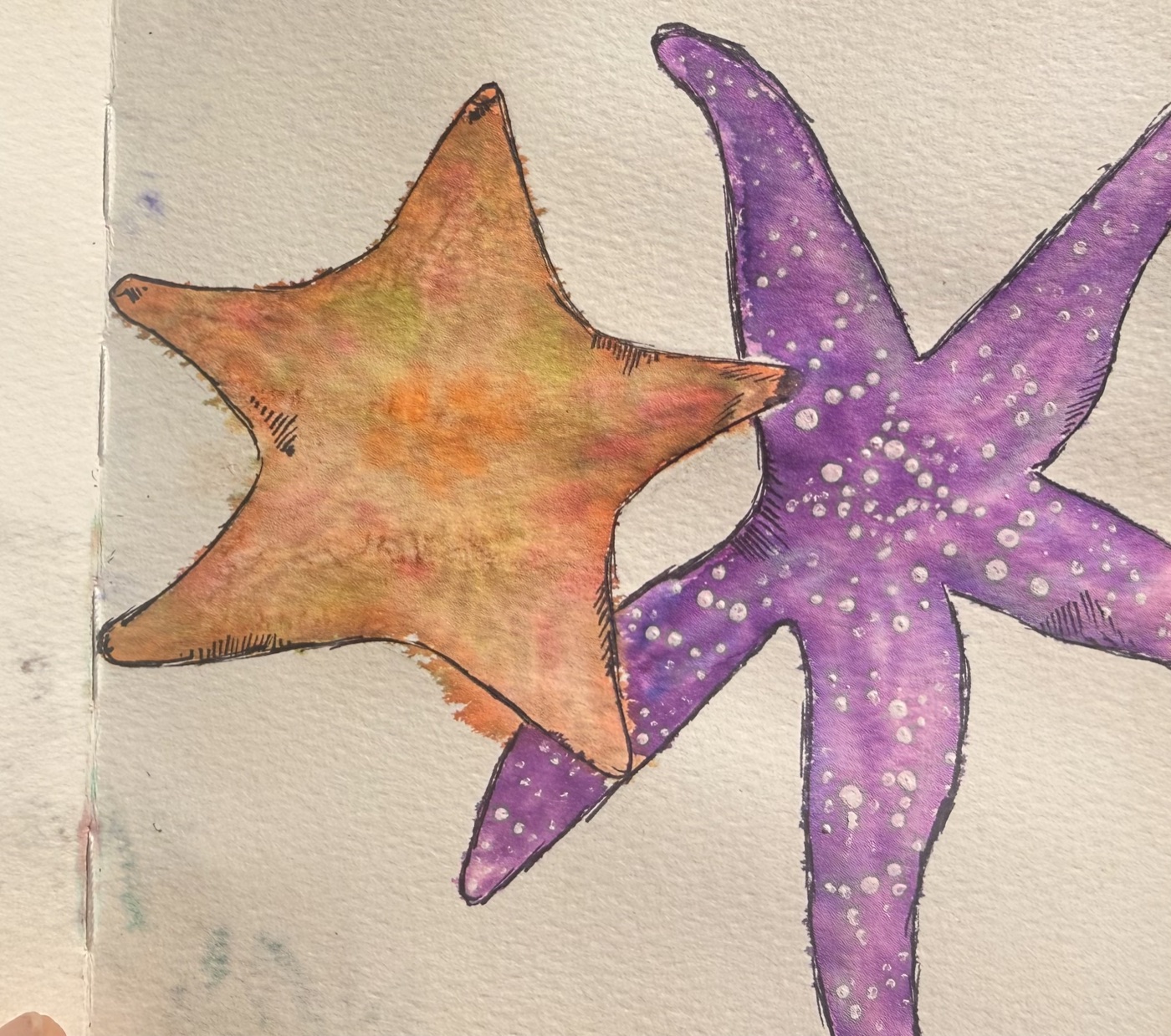
It was a minus 4.0 tide, twenty-two feet lower than the night before, so I stayed close to shore. I paddled past walls of rockweed and anemones, with bands of sea stars in purple and orange.
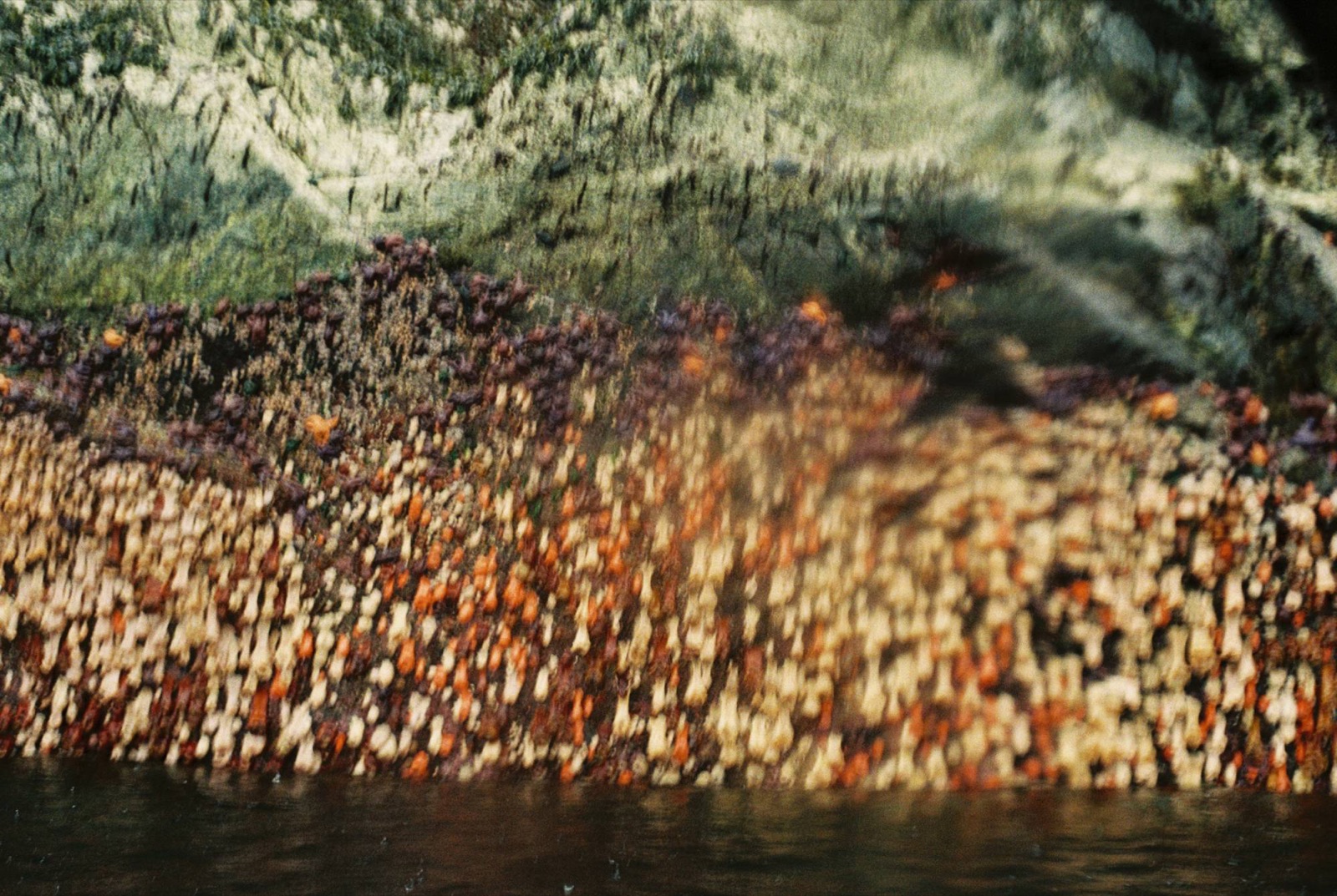
The water stayed lively, but manageable.
I started to worry about reaching Meyers Chuck. It was twenty-two miles away, and the wind was forecast to rise. As I weighed my options, I heard a loud exhale. A humpback surfaced ten meters away, slipped beneath the waves, then came up again right behind me before continuing south. I thought about freedom, and about how whales are made for the world I struggle to move through.
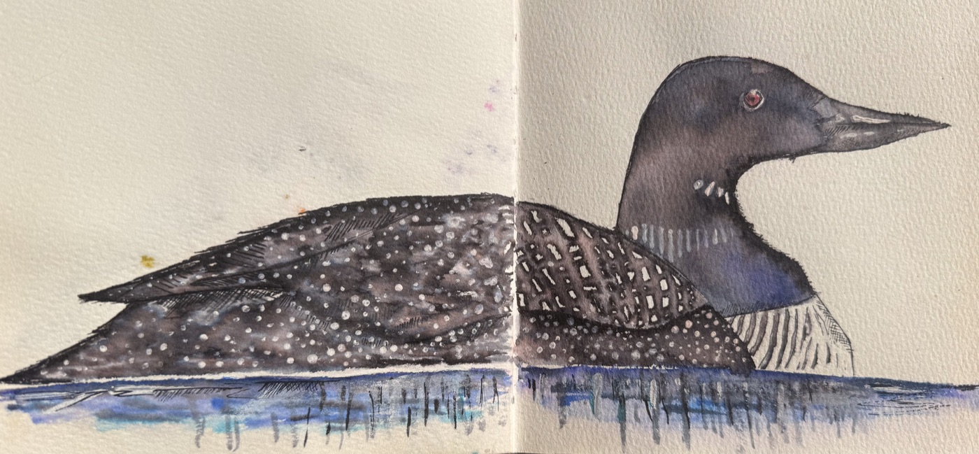
Murrelets were everywhere, and impossibly shy. I never got close. I tried a loon call (badly), and the nearest one vanished. When a sea lion went after a murrelet, I joined in. I liked the game: sneak up before they disappear. I never won.
Five miles from camp I took a break and found another abalone shell. Another good sign. The weather held fair, with light rain and the occasional gust. Eventually I reached steep cliffs and waterfalls, and the sea calmed. Moon jellies and lion’s mane jellyfish drifted below me as I paddled into Meyers Chuck.
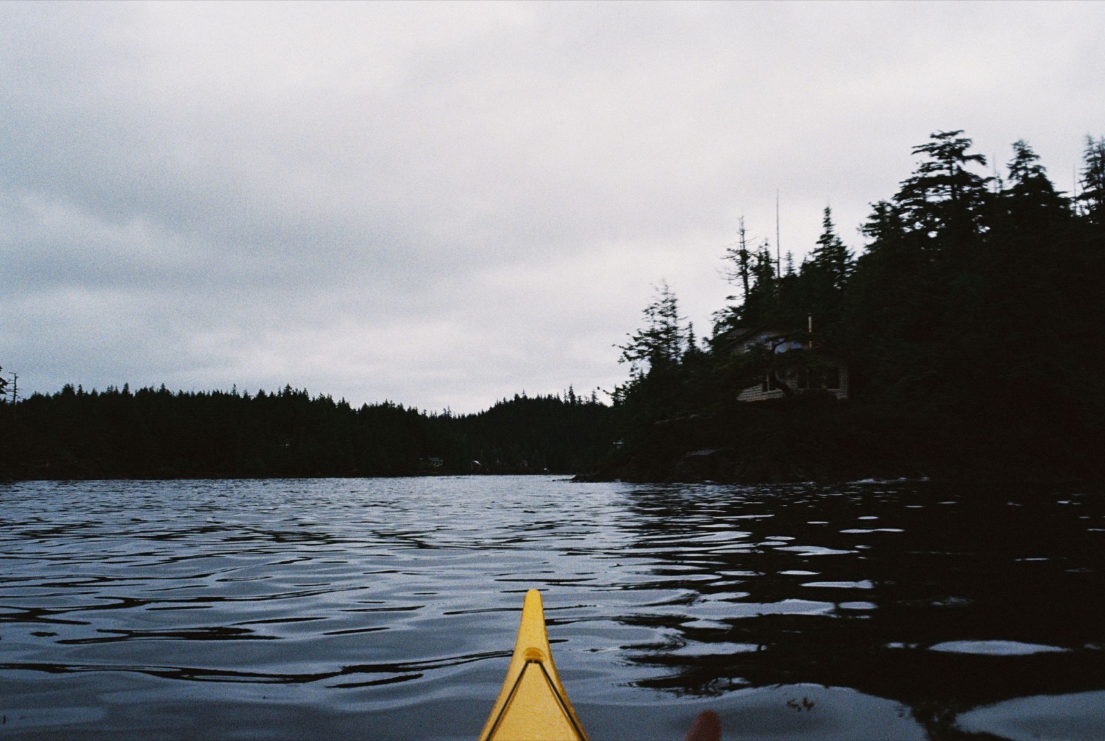
“Downtown” was a single billboard.
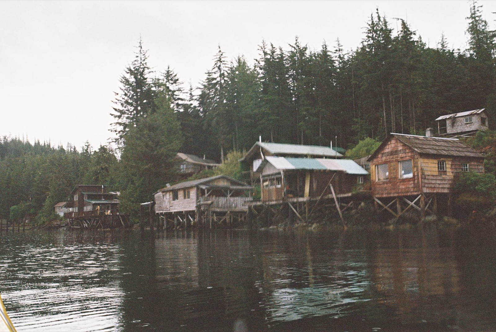
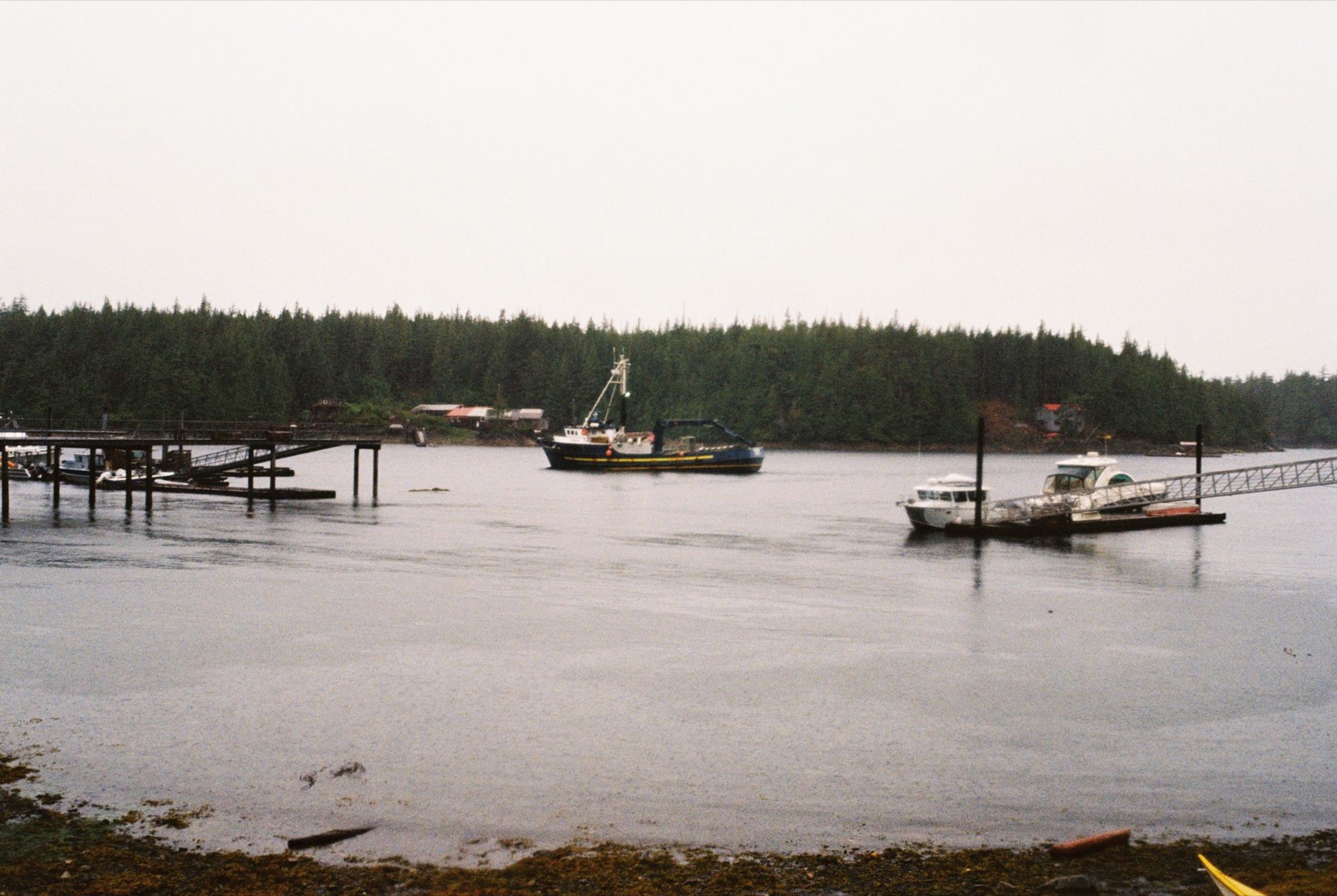
I found a cabin with smoke rising from it and met a man named Terry, who offered me his shed for the night.
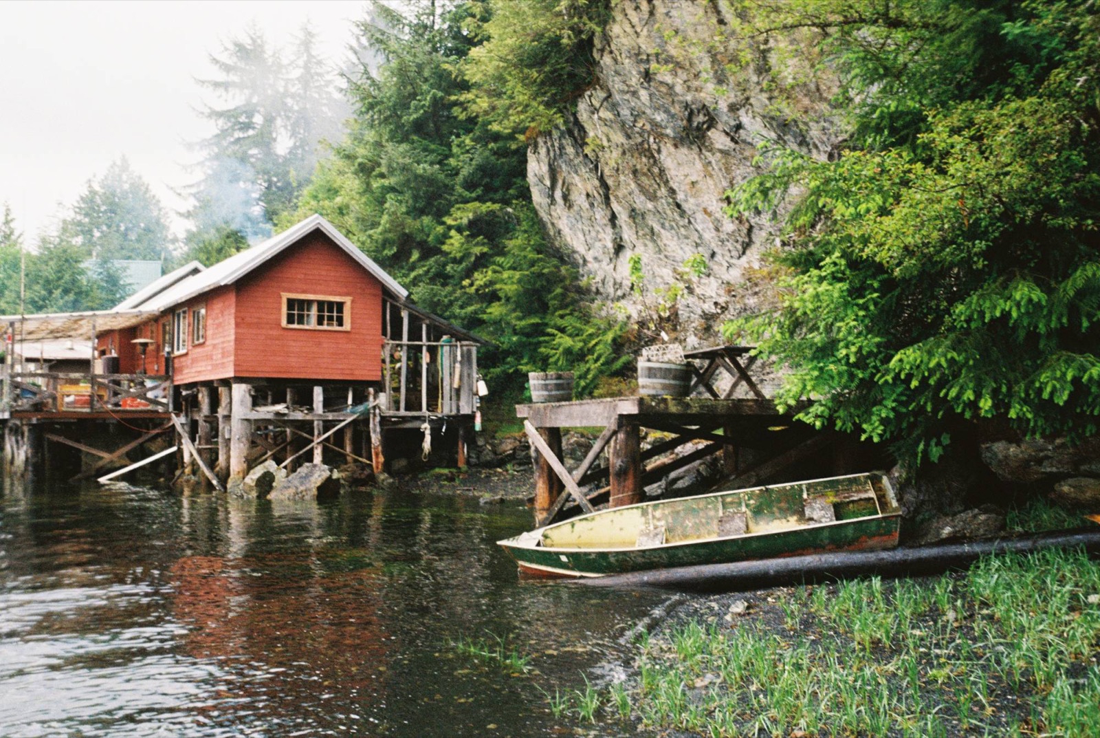
I set up camp, ate spaghetti, changed into dry clothes, and was asleep by six.
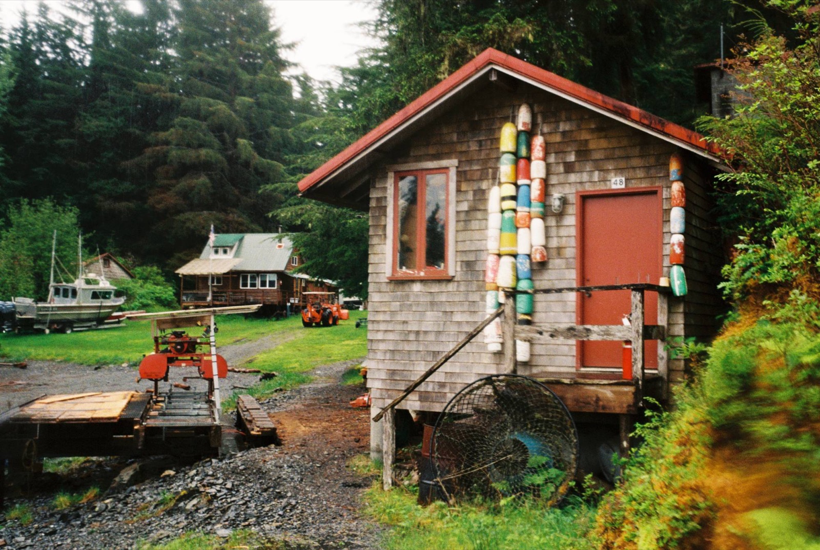
I woke well rested after crashing around six the night before, sleeping in the open brown shed by the water. A Golden-crowned Kinglet and a Varied Thrush sang through the rain.
The tide was very low, and kelp stretched all the way out to the docks. I could just see over the outer barrier islands, where waves were crashing loudly against the newly exposed rocks.
The forecast called for gale-force winds again, with gusts up to 45 miles an hour. The ocean looked fierce, and I had no reason to launch early. I made breakfast, then wandered over to Terry and Mary’s. They welcomed me with tea and a hot shower in another shed attached to their house.
Terry has an outdoor cat that sleeps under the house. It competes with the resident mink, who usually catches the mice first and has even moved into Terry’s boat.
From their window we watched williwaws touch down in the bay, eagles circling overhead, and a mink picking through the seaweed on the rocks.
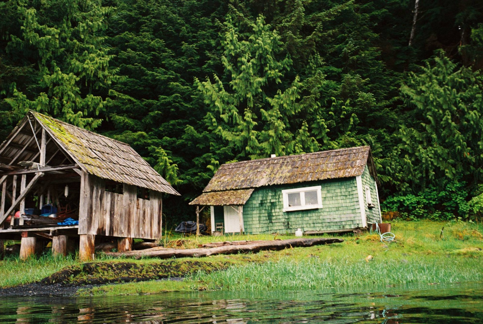
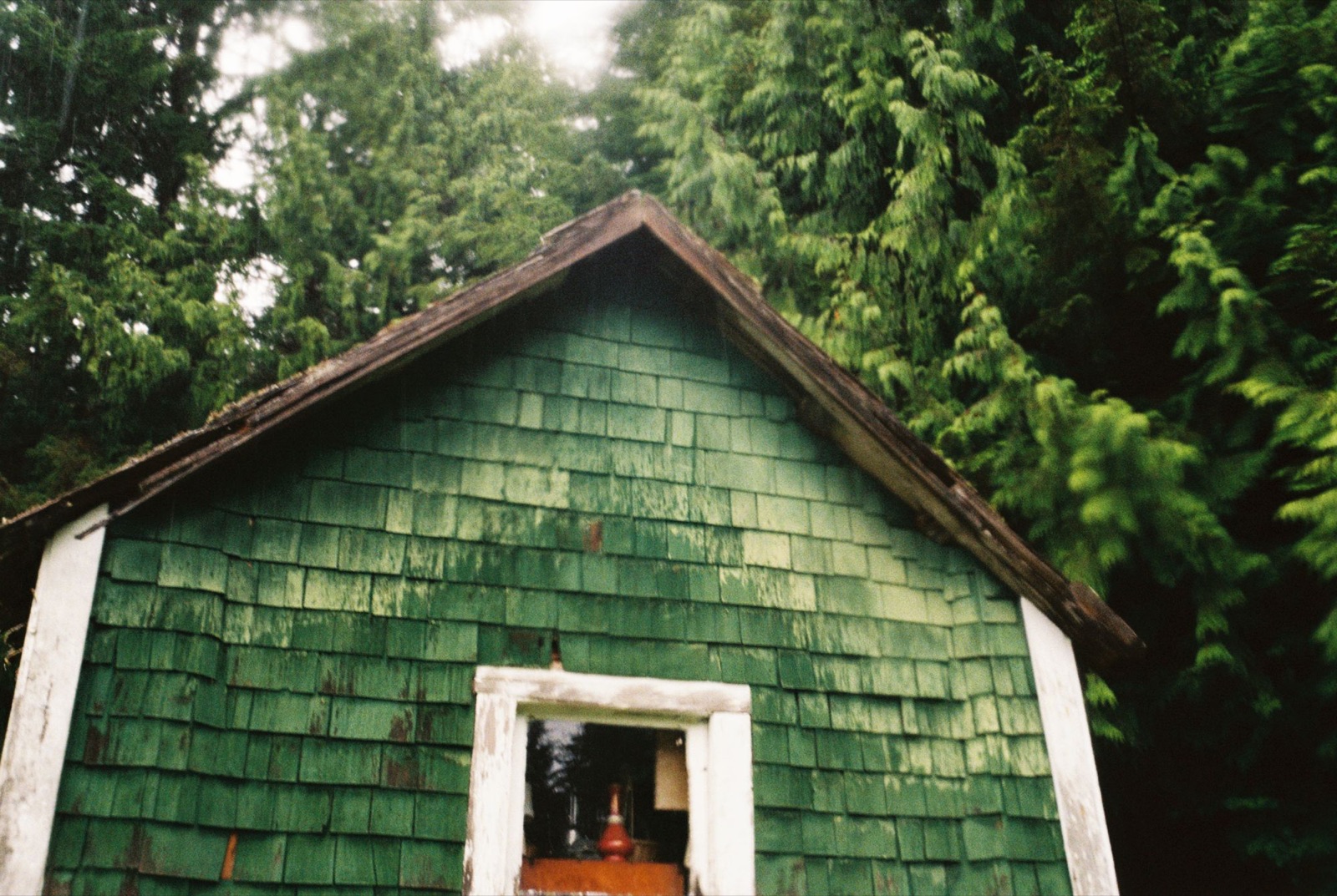
Terry and Mary have lived in Ketchikan for decades and come out to Meyers Chuck to escape the bustle. Terry told me about his old green shed, the first thing he bought here. It was built in 1918 in Admiralty Cove, then taken apart and rebuilt in Meyers Chuck. The logs are still numbered from the move.
They sent me off with a cookie. I packed up and set out around 12:30, grateful for their kindness and for the quiet pause.
← Back to Chronicles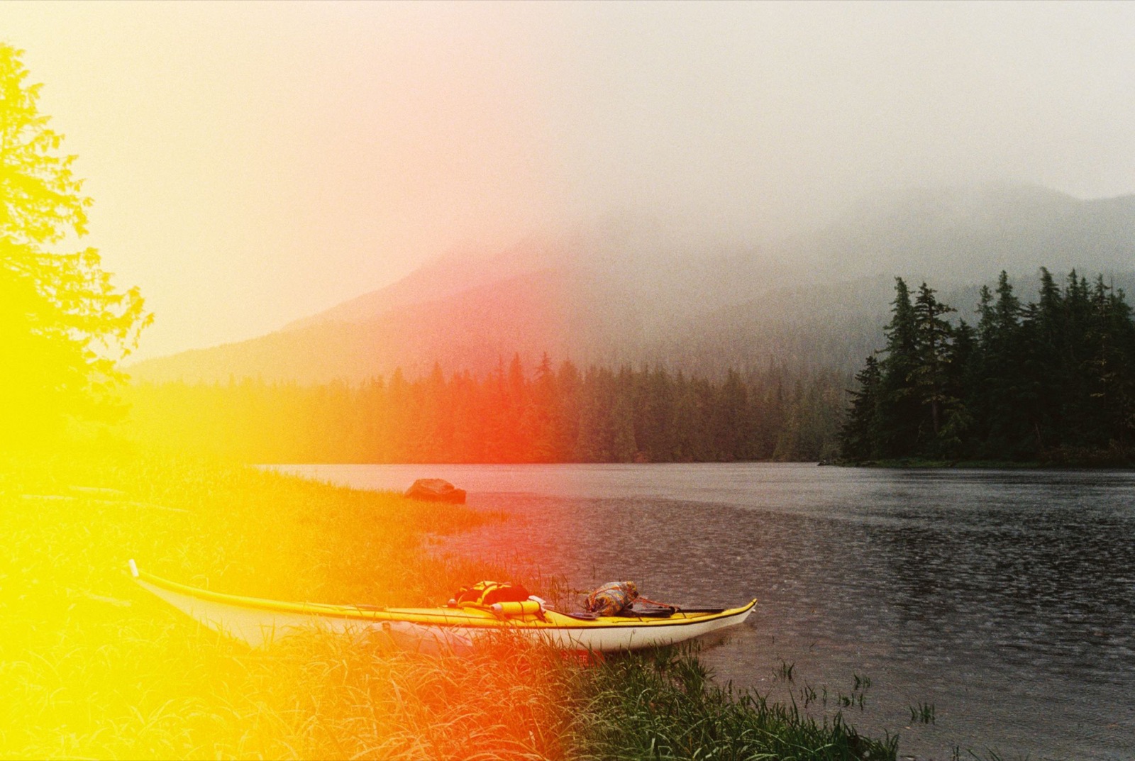
The cove at Meyers Chuck was sheltered and the wind had died down, but rounding Lemesurier Point was extremely rough. It was some of the choppiest water I’d met so far, with big whitecapped waves.
Down in the troughs, all I could see was the crest of the next wave. Even a 30-meter fishing boat had taken shelter in the cove. The nearby shore was rocky and unwelcoming, so landing would have been a bad option, if it was possible at all. I was very nervous.
Once the tide went slack and I rounded the point, the water finally calmed.
Next came the three-mile crossing of Union Bay East, between Lemesurier Point and Union Point. It started out smooth but grew bumpier toward the end. Fog drifted in and out, so I kept a close eye on my compass bearing in case the islands ahead decided to vanish.
Crossings always make me anxious. The bay reaches two to two and a half miles inland, and out in the middle it feels like I’m not moving at all. Terry had advised against this crossing, and I second-guessed my decision the whole way.
Eventually I landed on a small, unnamed island southwest of Union Point. A strong flood was running along its western side, and I rode it into a little protected bay. I stayed there for a while, just to remind myself I was safe.
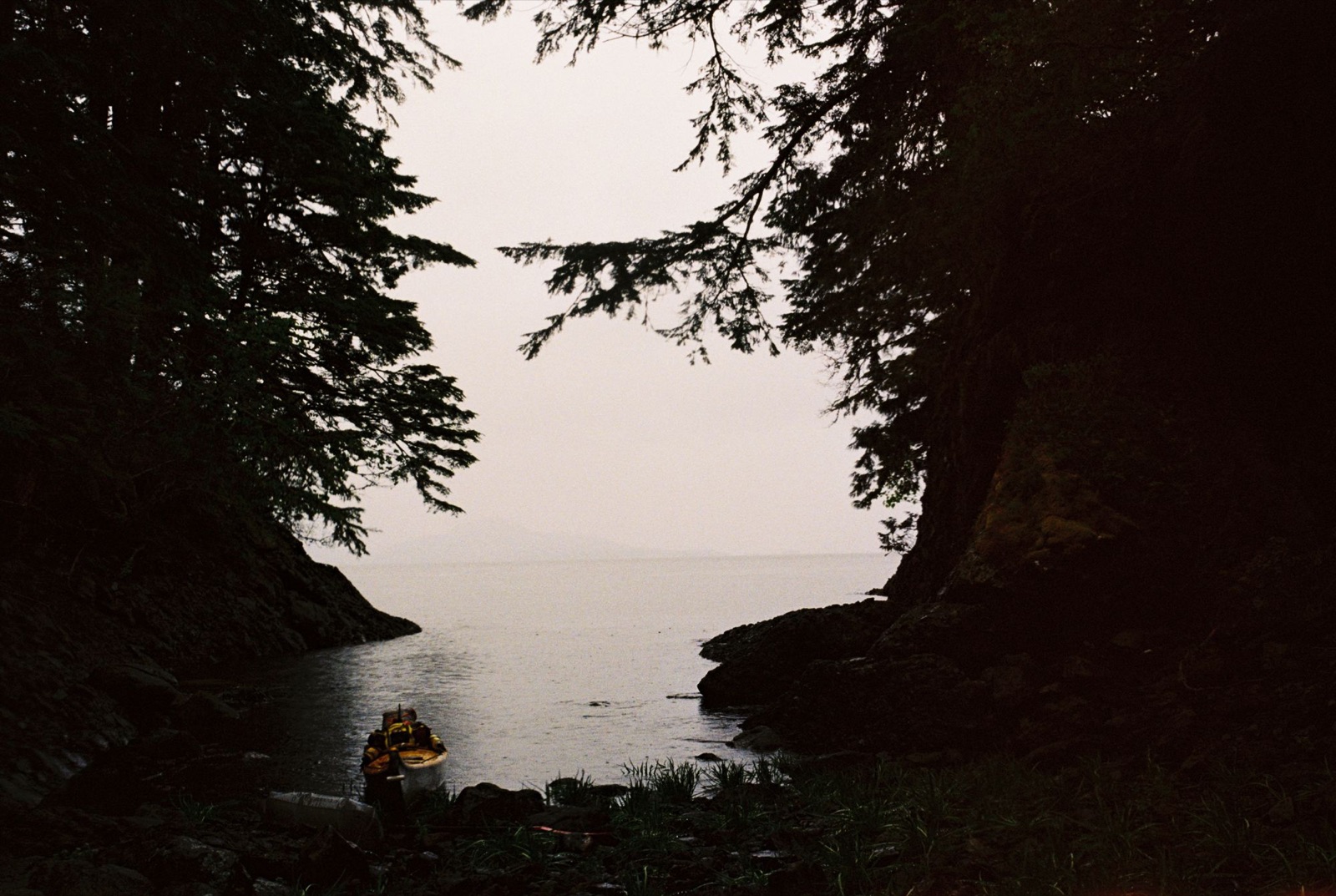
Then I kept going, rounding Union Point toward Vixen Harbor.
← Back to Chronicles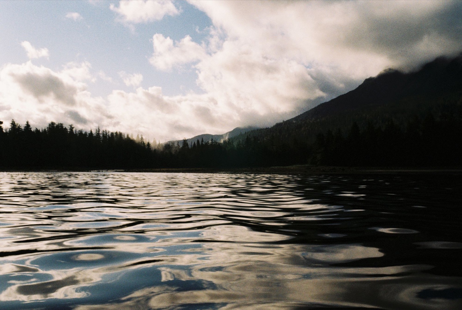
After rounding Union Point, I headed northeast from an island on the eastern side of the bight. The wind died down, and the last stretch into Vixen Harbor was serene. A couple of loons chuckled at the mouth of the inlet. Two great blue herons left the rustling grasses of a tidal flat to soar over my head.
I landed in a south-facing cove strewn with golden-brown rockweed, bubbling against the slate shore.
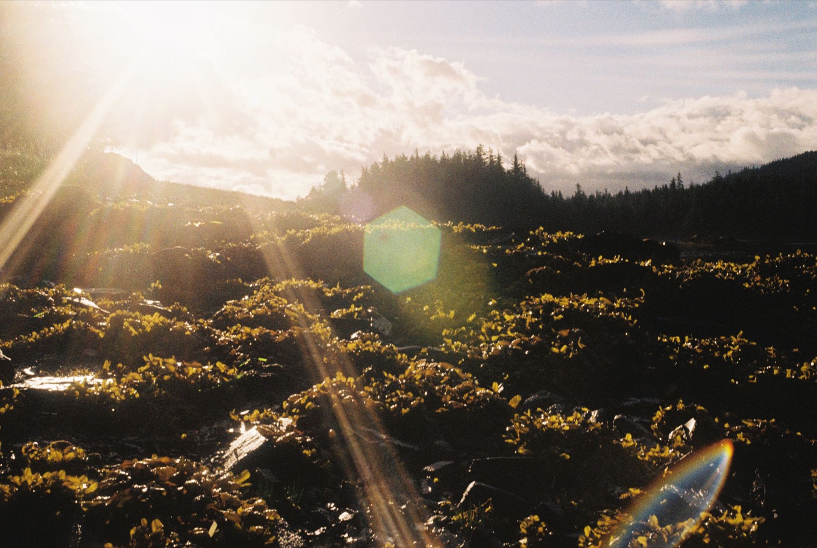
Giant red paintbrush and lupine had made friends with each other. They mingled with the grasses, perched on the rolling knolls just above the reach of the tide.
I dragged my kayak up beyond the moon’s grasp. My boots crunched over barnacles, and my hat scraped against the drenched spruce, whose prickly hands sent the occasional droplet down my back.
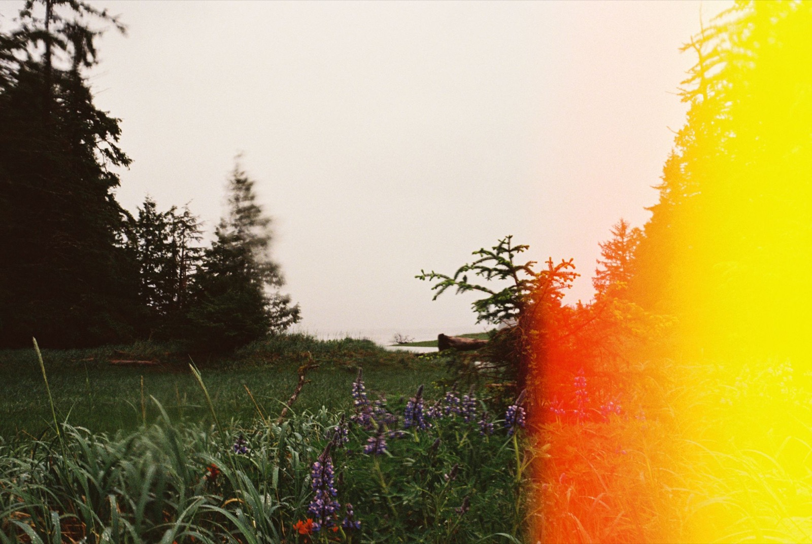
The lupine and paintbrush didn’t seem bothered by my hauling and heaving. They were busy putting out new buds of purple and blue and red, delicate, yet giving off a kind of light that doesn’t go unnoticed.
The resident mink didn’t walk his beaten path tonight. But the herons returned to theirs, the loons kept babbling about love, and the old-growth cedars shared their tears as the song grew louder, and louder, and louder.
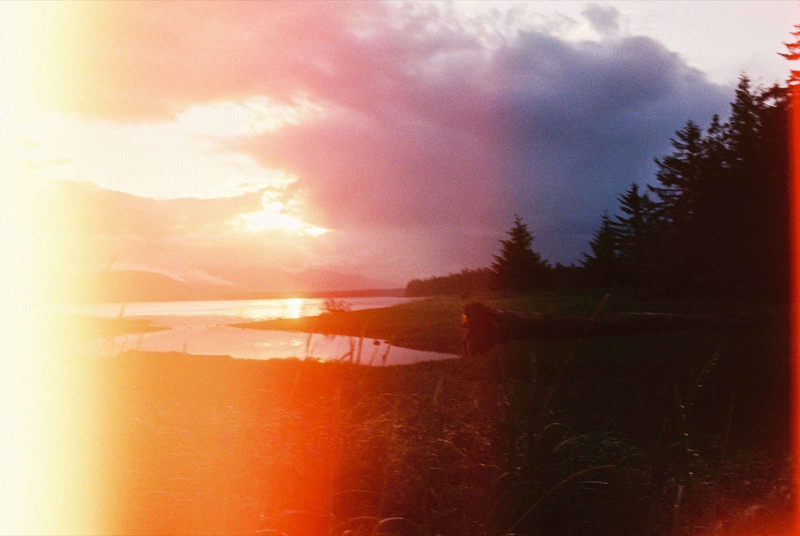
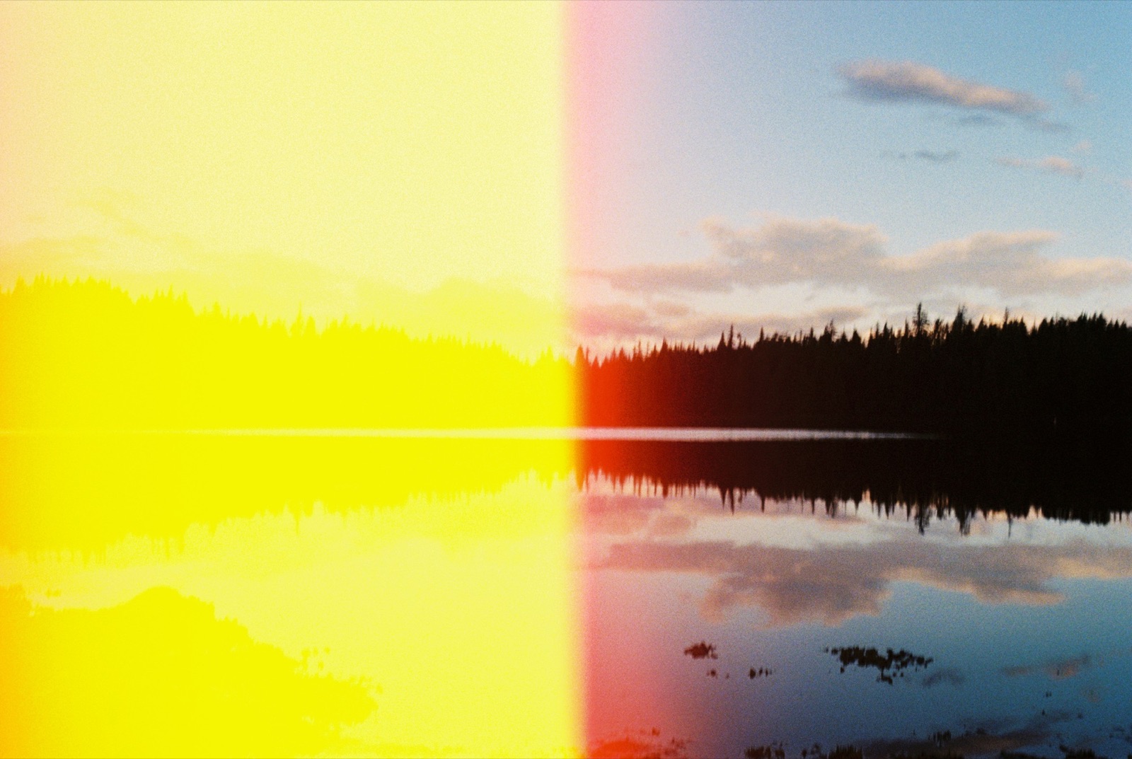
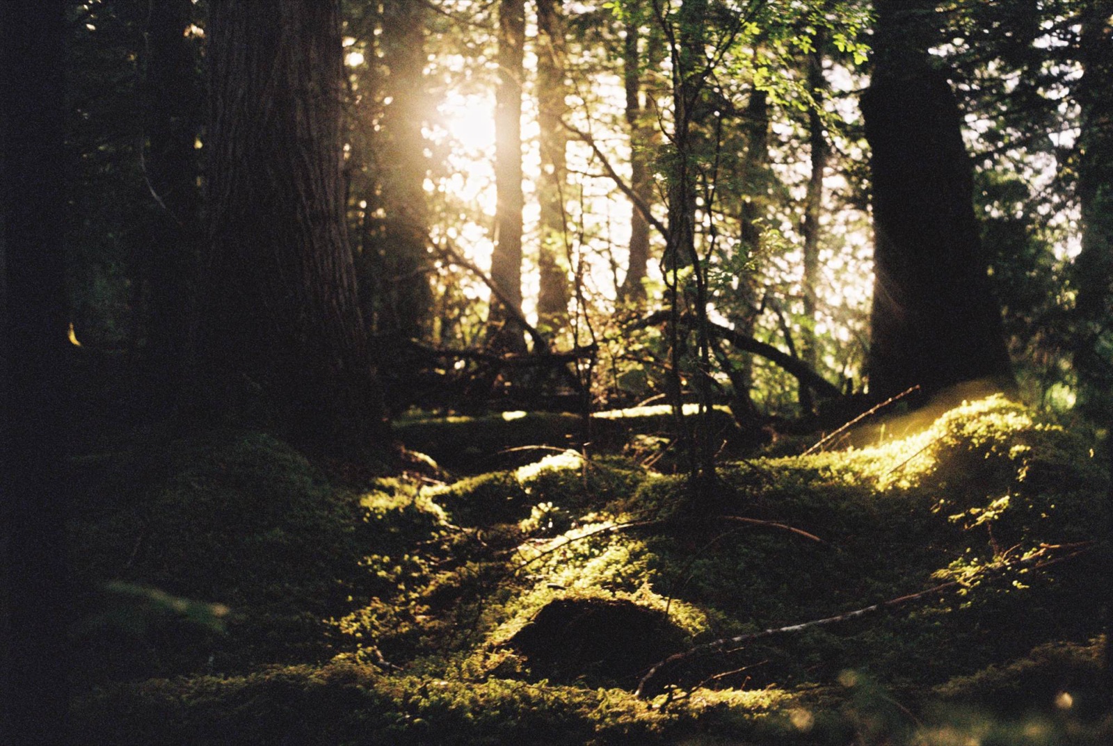
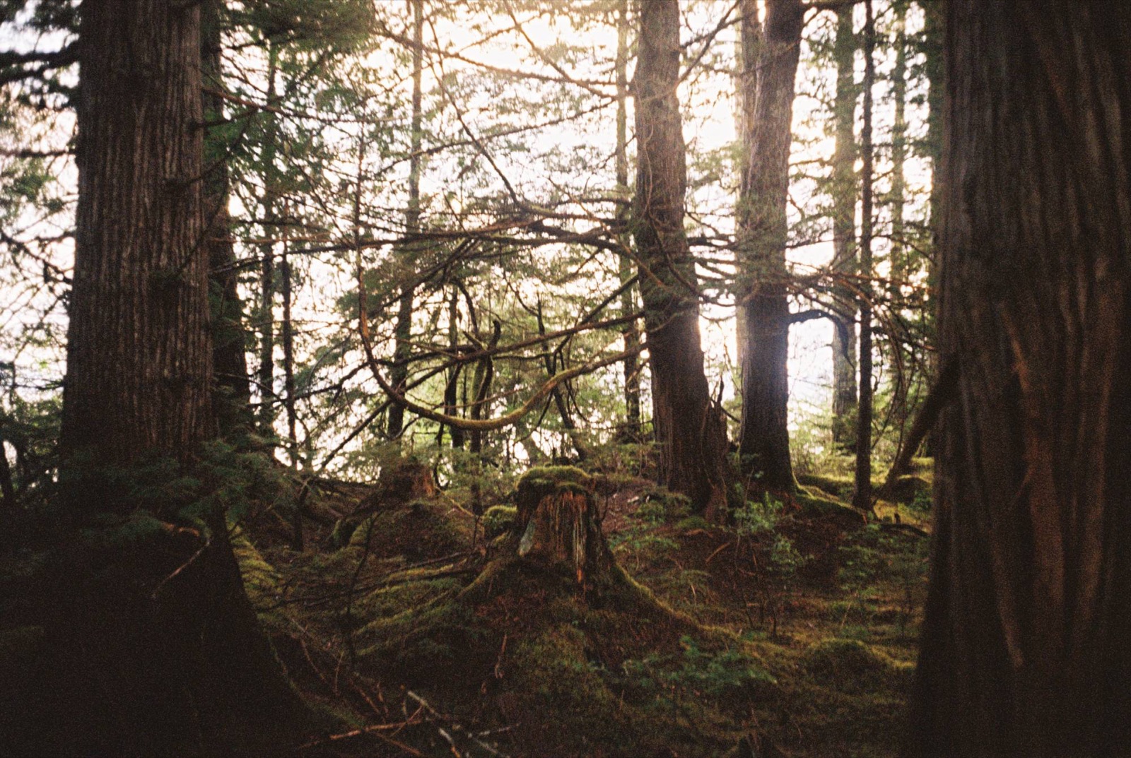
The western flycatchers and thrushes celebrated the morning sun by parading the understory with their melodies, and even the moss took a moment between showers to bathe in the rays that penetrated the canopy. I fell asleep nestled behind an old-growth red cedar whose arms stretched out and reached for the dewed green blades, which suddenly seemed much brighter and so pleased to grow. I laid on their fallen antlers and dark earthen roots and listened to the inlet’s song. The old growth remained steady but silent, at least a third-time centurion and a very good listener when given the chance.
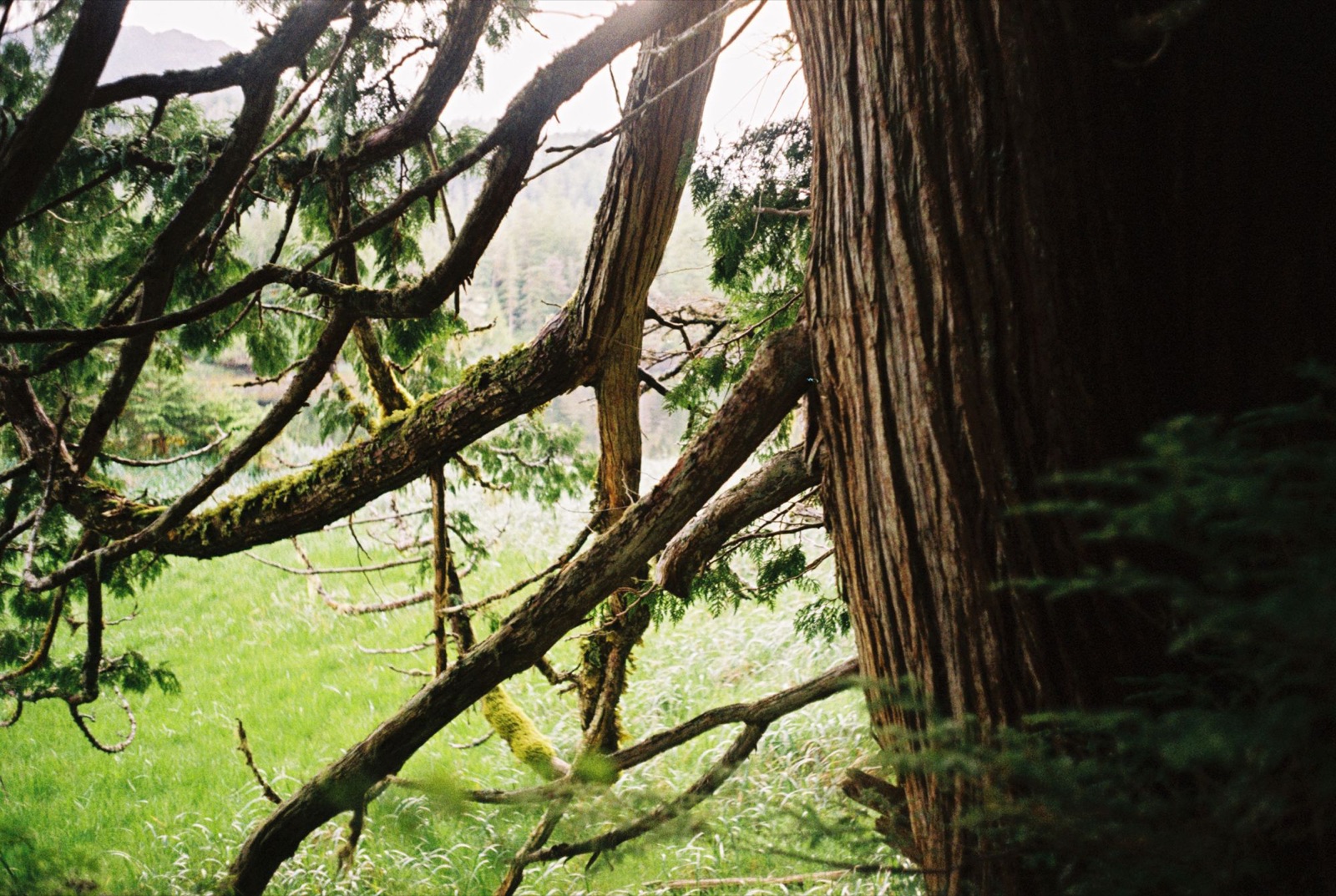
As the rockweed emerged from the ebb and inhaled the last easterly rays, the moss continued to cuddle the elderly but also the breathless trunks of the fallen. And the young cedars all reached towards one another and became tangled and interwoven to provide perhaps something more than an invisible mycorrhizal tingling of connection
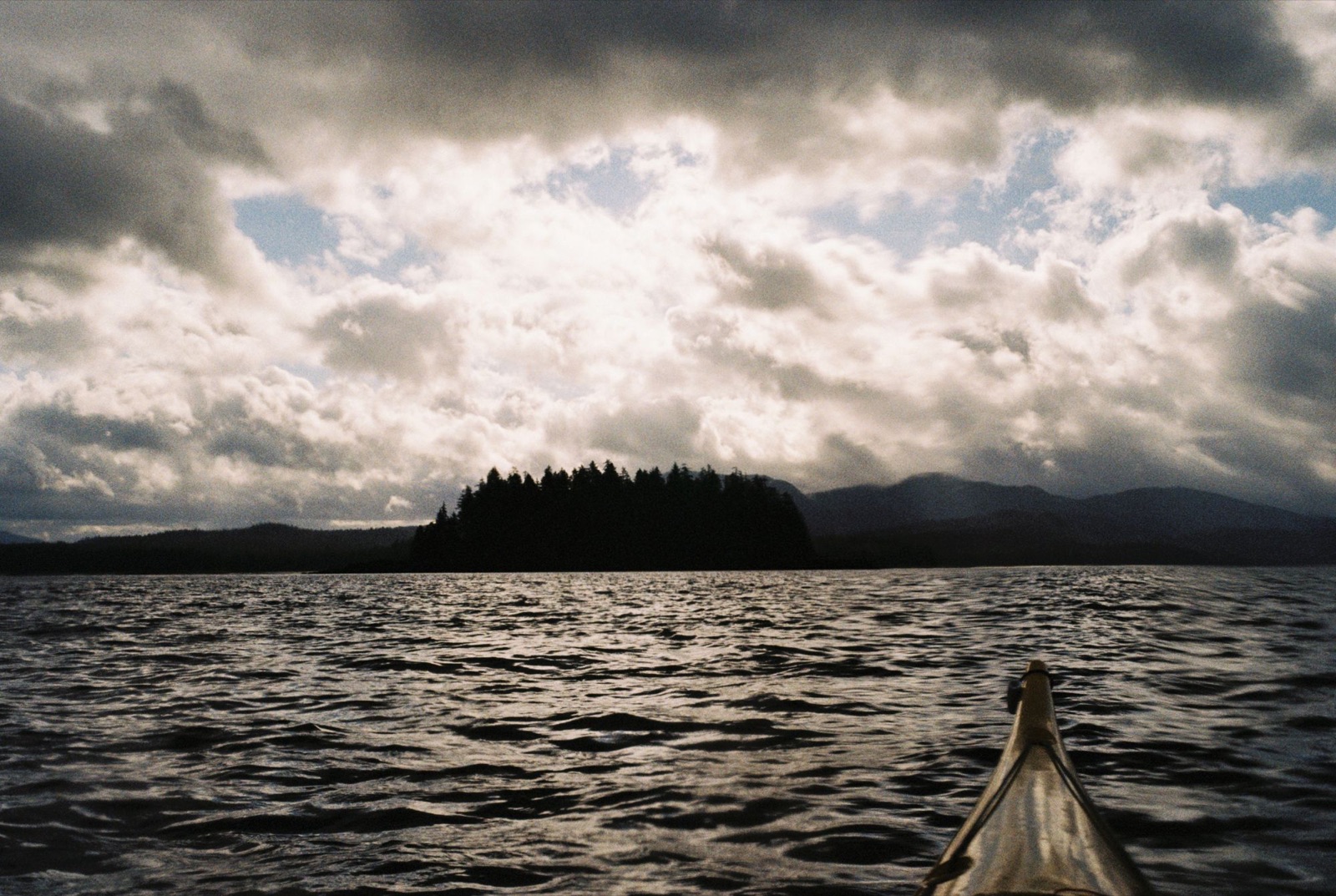
I timed my launch just before slack tide, hoping the ebb would carry me out of the bay for a good push north. The flood was still running fairly strong, so I hugged the shoreline looking for eddies or a counter-current. No luck, but the water was crystal clear, and I could see seagrass swaying beneath my kayak. Harbor seals were everywhere. I even surprised one.
I fought the current until I reached the island in the middle of the bay, then turned northwest with the flow. South of Vixen Point, a lone river otter was scrambling over the kelp. To my surprise, he swam straight toward me. I stopped paddling, and he came within a meter of my kayak before slipping silently beneath the surface.
Rounding Vixen Point, the water looked calm, and I thought about crossing straight to Easterly Island and Eaton Point. Instead I stayed close to the Emerald Bay shoreline, which turned out to be a good call: a northeast wind soon kicked up chop and small whitecaps. I was glad to be near land, though the steep cliffs beside me were unsettling, with no easy place to land anywhere. There was graffiti on the rocks, mostly names and dates from the ’80s.
I stopped in a small northwest-facing cove and was surprised to find red sea cucumbers scattered through the shallows. I accidentally knocked one loose with my paddle and felt bad about it. I wondered if they thrive here because of the calmer water.
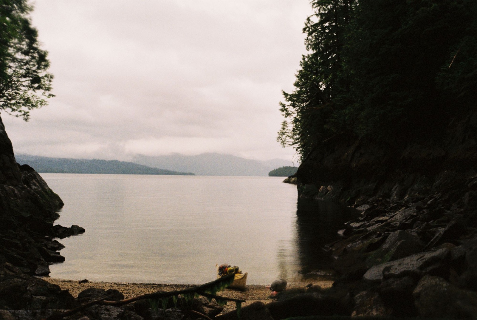
As I rounded Eaton Point, the wind and a light rain picked up. A sea lion splashed behind me as I pushed east past Watkins Point and across Seward Passage to Point Peters.
I took shelter in a north-facing bay behind the point, then continued northwest through a narrow channel between the coastal islands. Three river otters appeared and dove right under me.
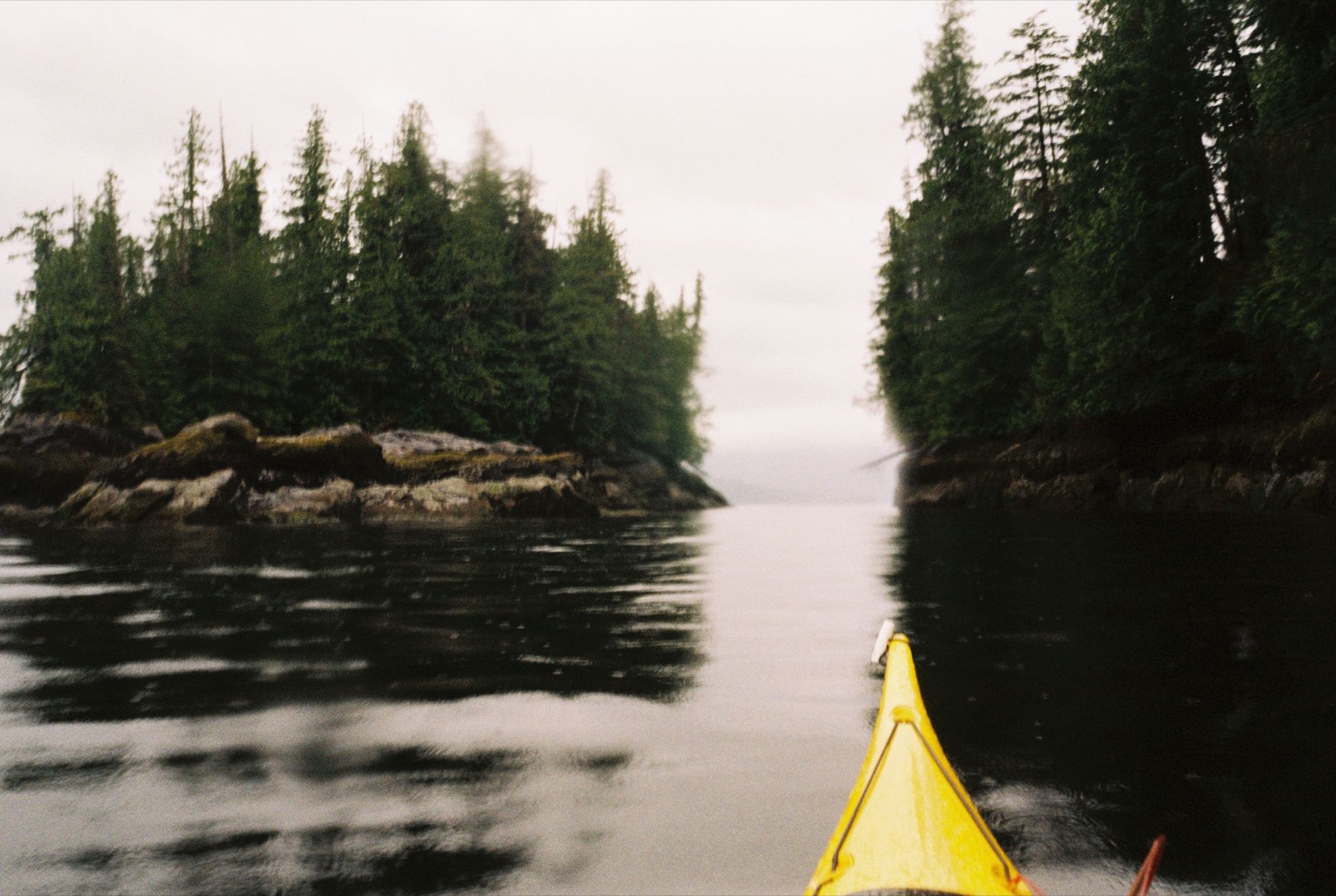
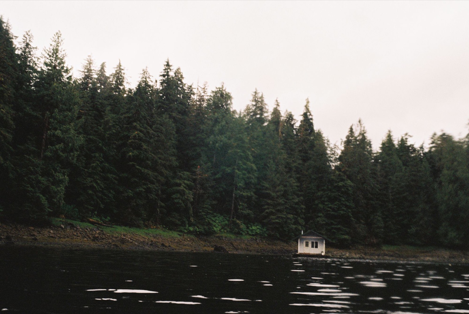
Along Deer Island, rolling swells came in from the west. I tucked into a passage hoping to find a floating shed I’d read about, but it was gone. I ended up camping in a sheltered spot with beautiful old growth and plenty of skunk cabbage. After I set up camp, a mink froze on a game trail in front of me, clearly not expecting company, then darted away. Chirping marbled murrelets and heavy raindrops joined in chorus as I fell asleep beneath the cedars.
← Back to Chronicles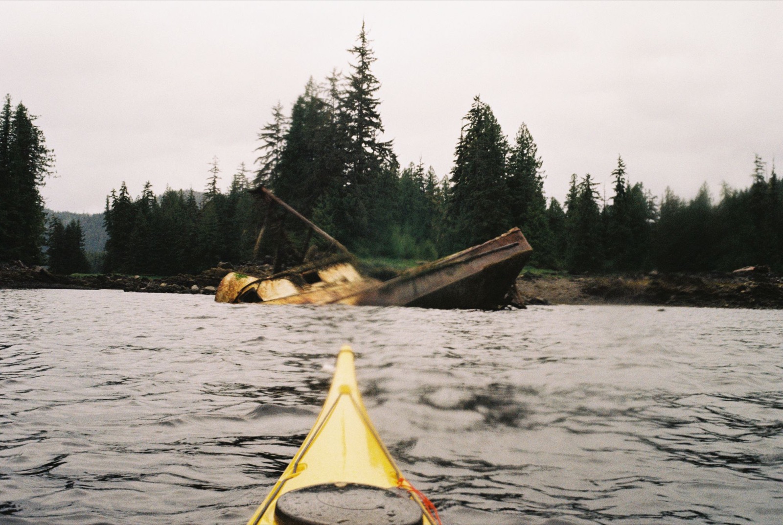
I woke to thrushes singing, with a Pacific wren chiming in, and launched around 8 a.m. to catch slack tide on the way to Found Island.
As I left the sheltered passage and paddled past Kuakan Point, the water turned incredibly clear. I glanced down and suddenly saw hundreds of tiny fish, maybe salmon fry, darting beneath my kayak.
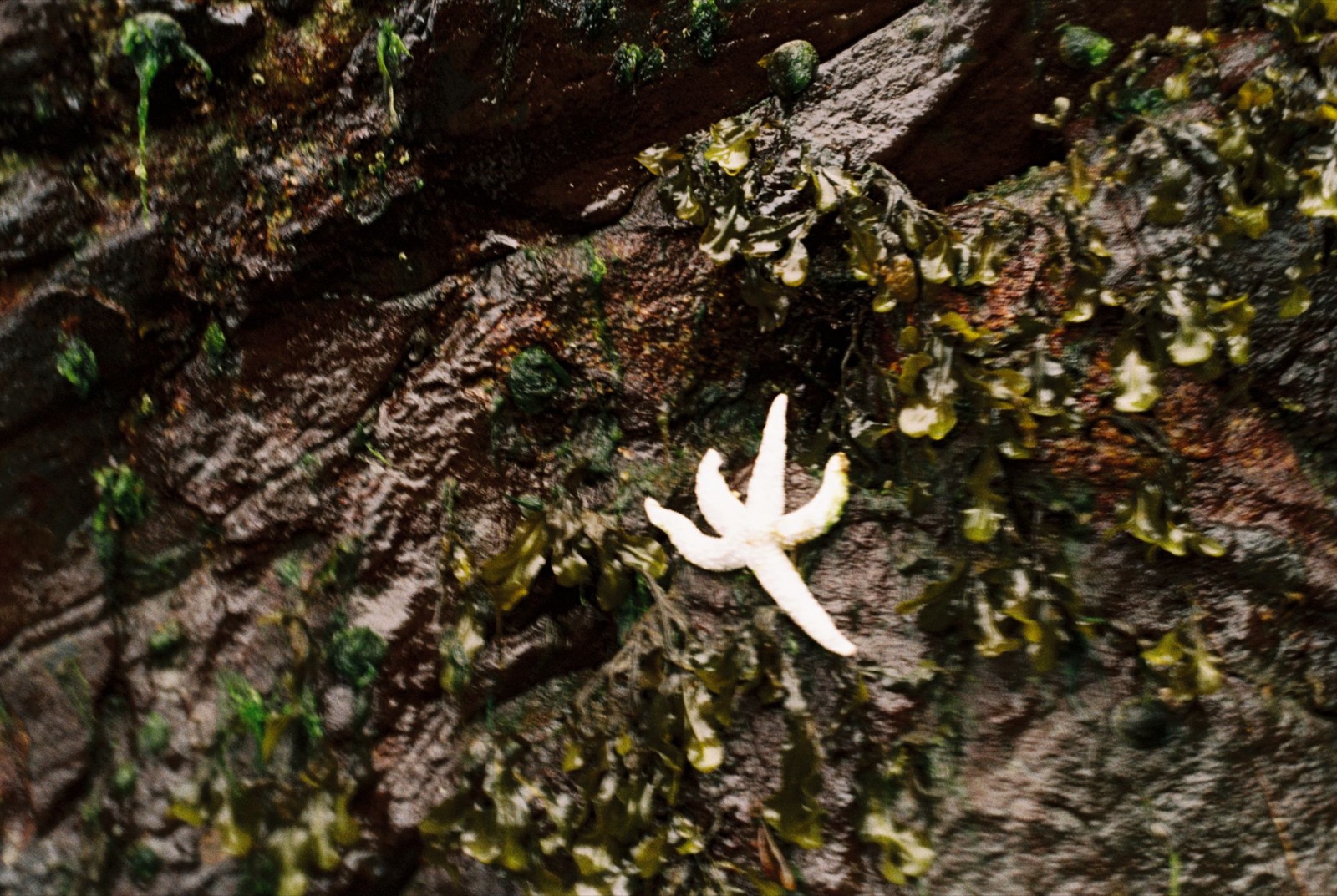
Then I realized my front hatch wasn’t sealed, so I landed in a nearby bay to fix it. A white sea star (albino, maybe?) clung to a rock face, and clams sprayed little jets of water into the air.
After rounding the northern tip of Deer Island, I set out early across to Found Island. The water was calm, even though I was a bit ahead of slack. At low tide the shoreline came alive: orange, purple, and red sea stars filled every crevice, and droopy sea anemones reached into the current. A mink hopped nimbly over the rockweed, as if to welcome me ashore.
On the north side of Found Island, a small boat appeared in the distance. I crossed quickly to avoid its wake and continued north into Zimovia Strait. I may have seen harbor porpoises, small black fins breaking the surface, but they were too far away to say for sure.
I passed a few cabins tucked into the trees, and the low tide revealed a rusted shipwreck.
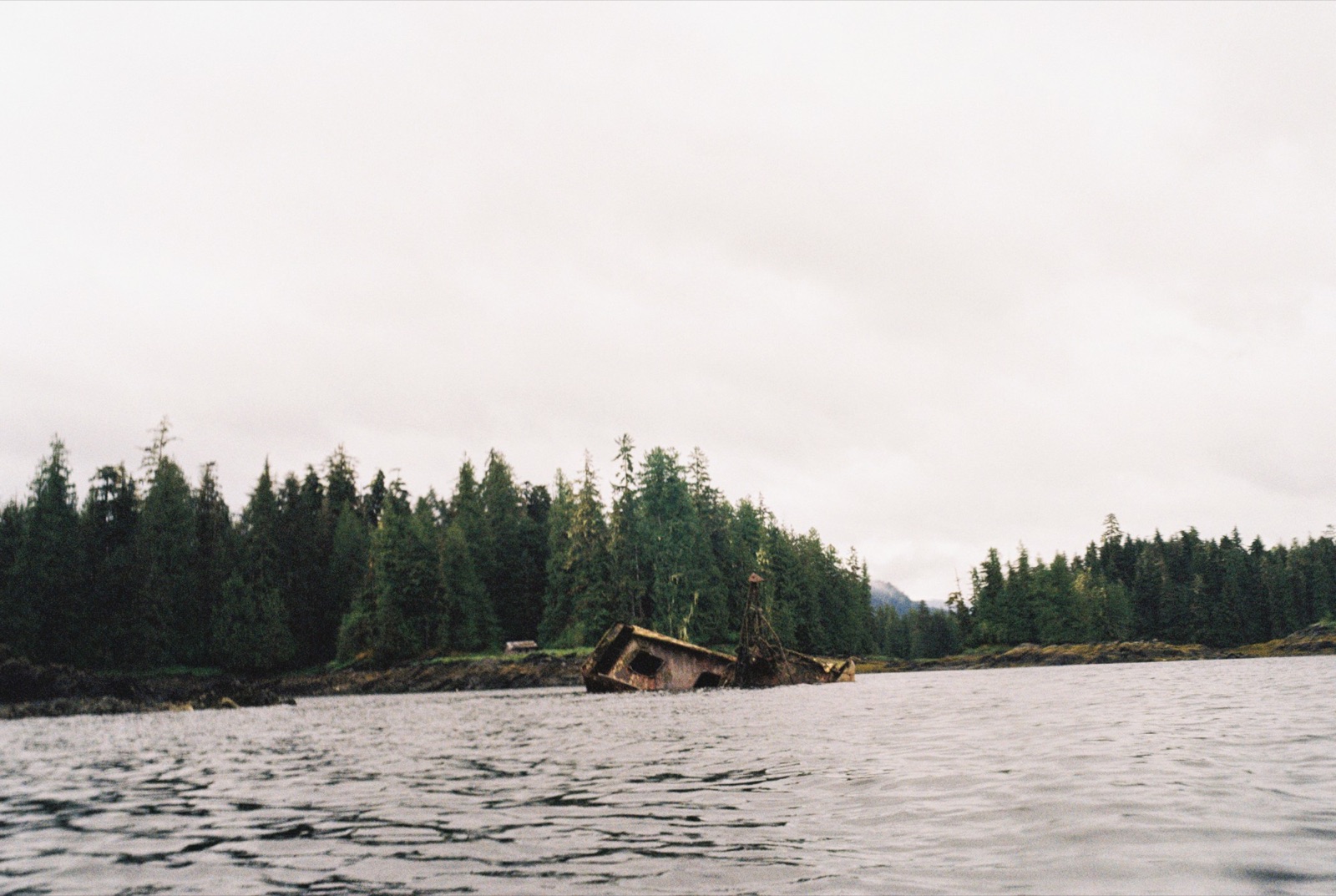
I tried to take a shortcut along the eastern shore, but the tide foiled every attempt. The channels kept dead-ending, and the current pushed me north, so I had to fight my way against it.
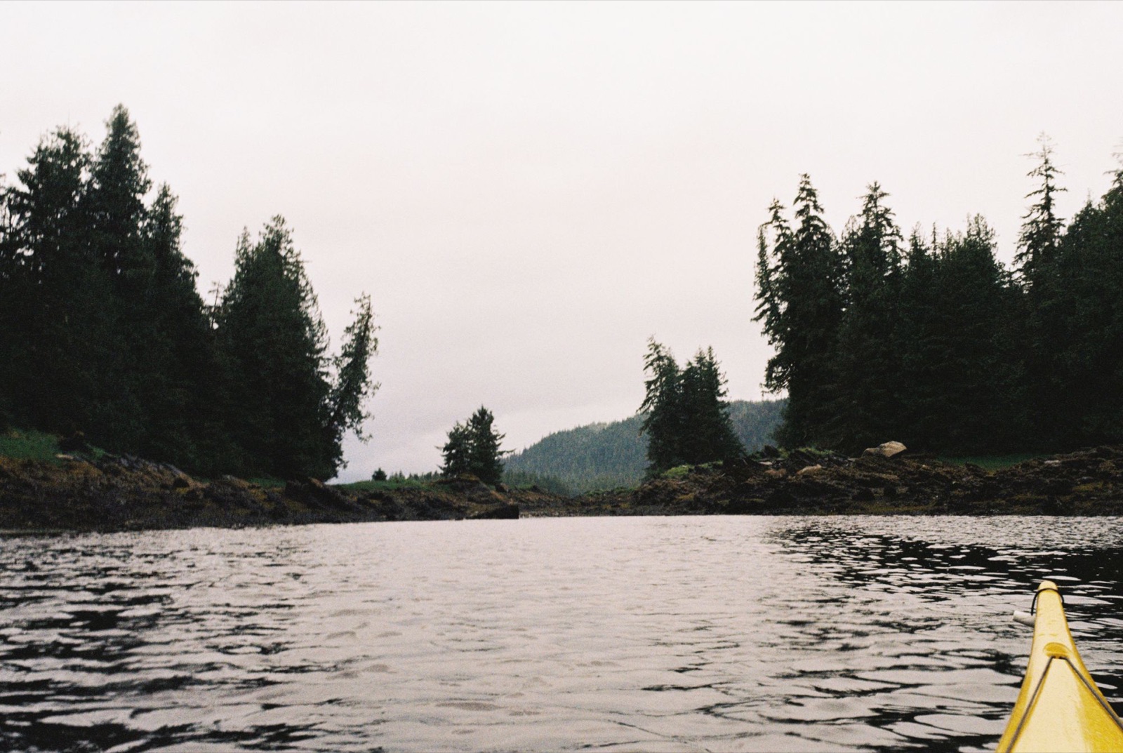
The rocks were completely blanketed in mussels, bluer than any I’d ever seen. The beaches felt more shell than shore. The water calmed again, and the harbor seals seemed to love it too. I mistook a sleeping one for driftwood until it blinked and splashed away.
I took a break on Turn Island, where a huge flock of common mergansers lifted off just ten feet from my bow. Beautiful old-growth cedars and an aging dock stood tucked between the islets. I thought about camping there, but the currents were running my way toward Wrangell, so I pressed on.
Later I met a man named Brian, who gave me a lift in his old Toyota and put me up for the night. He shared stories about salmon restoration and flying rescue missions. I ate an entire pizza. Thank you, Brian.
← Back to Chronicles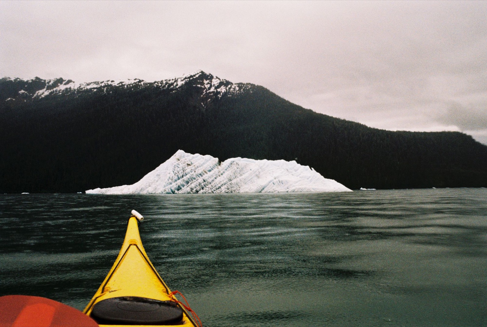
I got started later than planned and rushed out of Wrangell Harbor around slack tide, at roughly 5:45 a.m. With eight miles of crossings ahead and low tide only an hour behind me, I knew the currents could get tricky.
I crossed Dry Strait toward Kadin Island, aiming for its northeast point. The contrast between the blue water and the silty water was incredible. About a quarter mile from shore, I realized I wasn’t making any progress, so I gave in and angled southeast, letting the current push me around the back of the island. In hindsight, holding my northeast line would have saved a lot of effort. But I was tired and needed a bathroom break, and poor decisions followed.
Around the far side, three kingfishers chattered at me from a tangle of roots, probably mocking my choice. I thought about crossing early to Rynda Island, but I knew the current would sweep me south, so I aimed farther north.
Halfway across to Rynda, my boat hit bottom, hours before low tide. Nothing like running aground a mile offshore. I steered toward the rougher, murkier water, which usually meant it was deeper, and eventually landed halfway up Rynda, right where I’d planned.
I pushed north again, weaving through shallows marked by white clamshells, with eagles dancing overhead as I made for Blaquiere Point. Whirlpools formed, the current churned, and choppy waves pushed against me. It was some of the hardest paddling of the day.
Around the corner I found a small ramp and talked with a man launching his skiff. His dog left muddy paw prints on my bow before the two of them took off. He told me low tide was at noon, with calmer water ahead.
I kept going, paddling against a current that felt like a river.
Low tide exposed vast flats. Arctic terns dove for eulachon, salmon stirred the water, and I struggled upstream, at times getting out to walk the boat. Channels would appear, then vanish again.
At last I reached Frederick Sound, grateful for deeper water.
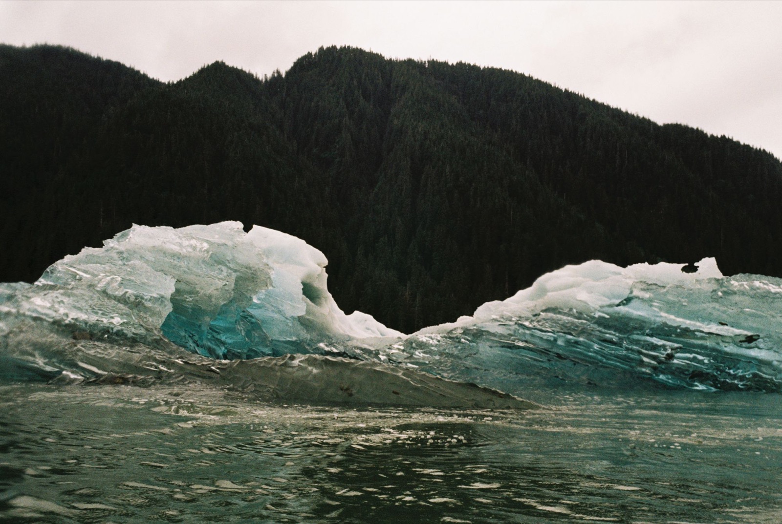
I stopped at Coney Island to rest, and the birdsong was deafening: sparrows, thrushes, kingfishers, kinglets, murrelets, and loons all adding to the mix. Then I headed due north to stay clear of the flats. Harbor seals stalked me quietly, popping up to stare. I often had to veer west where clamshells marked the shallows. A tough stretch.
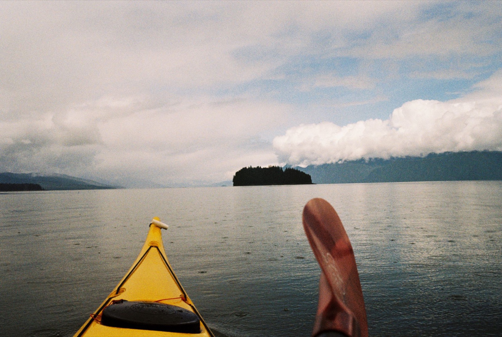
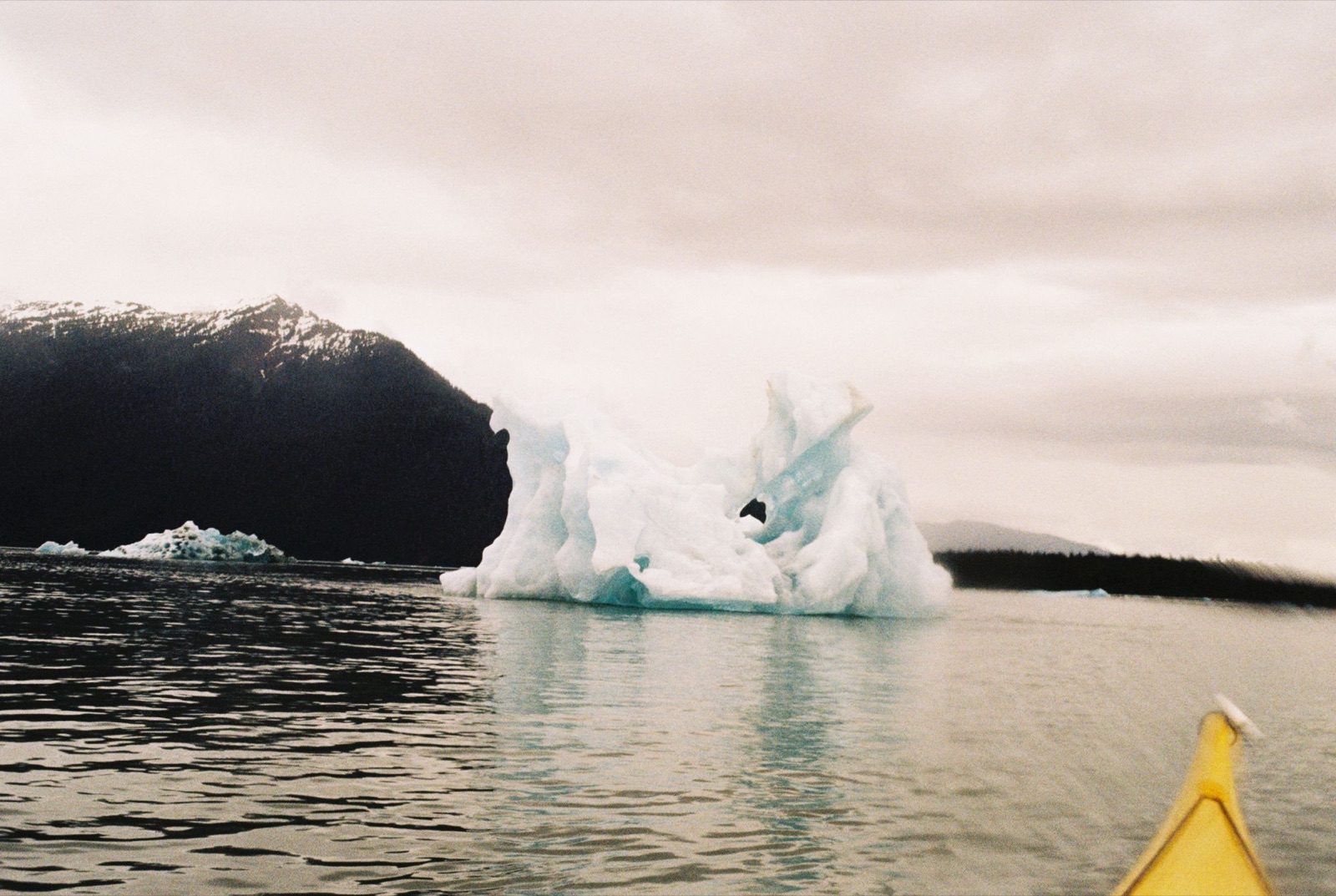
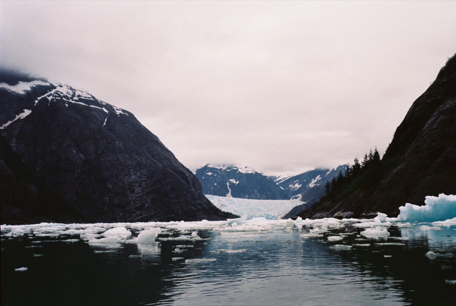
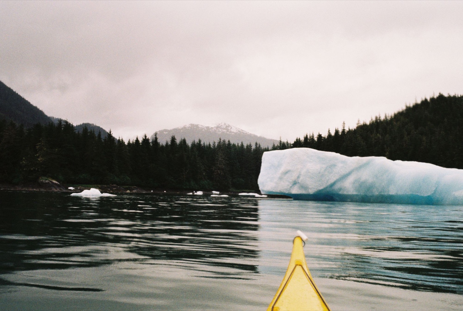
I made the crossing three miles west of Indian Point and paddled on through a maze of icebergs. My map showed an area that looked promising for a campsite, so I headed that way.
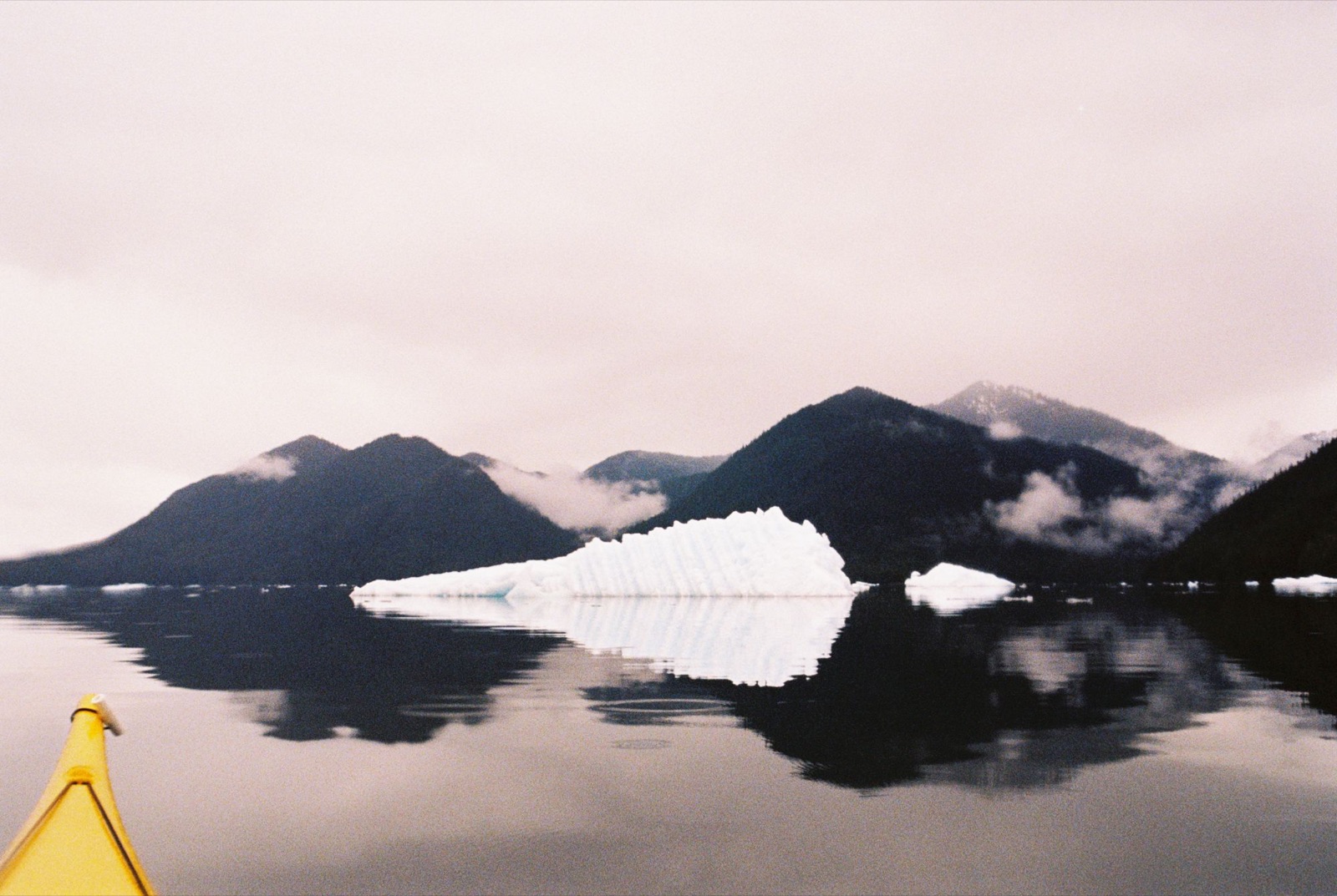
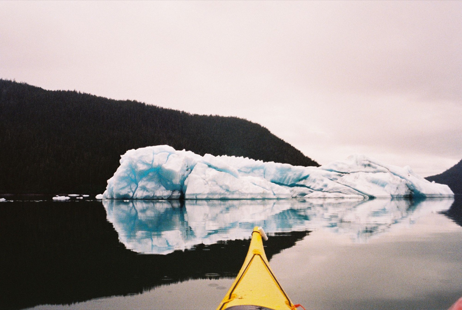
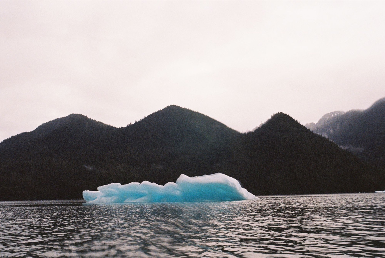
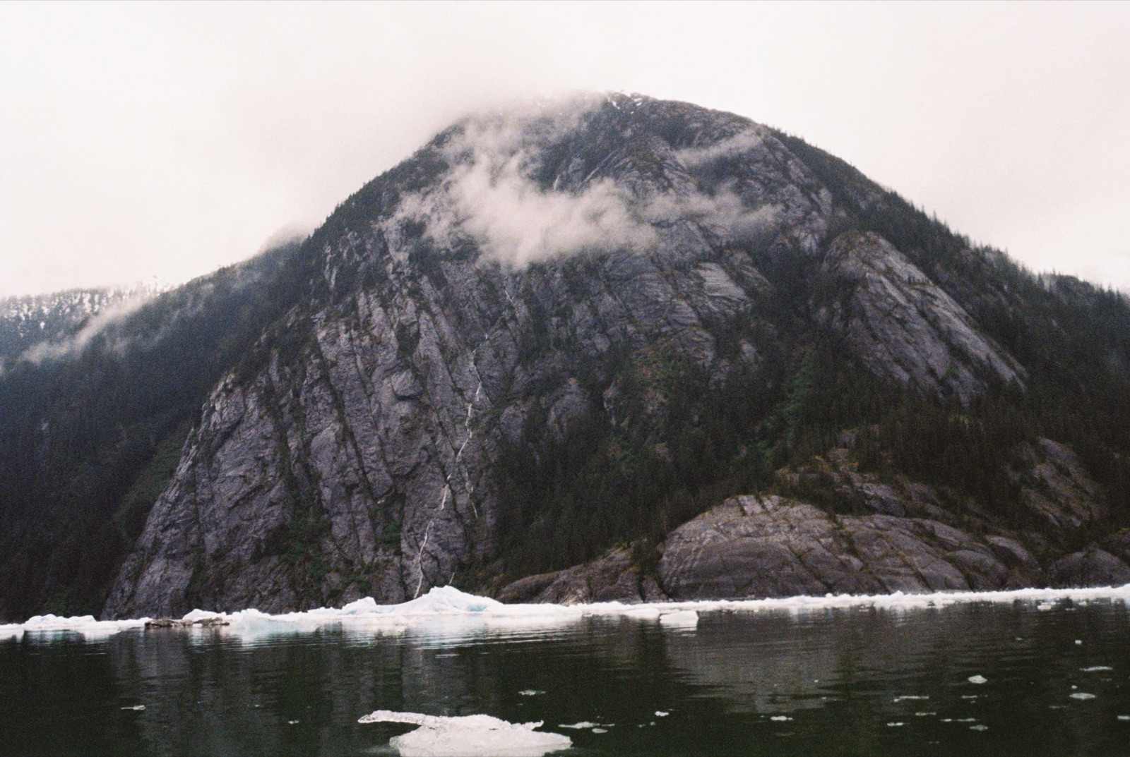
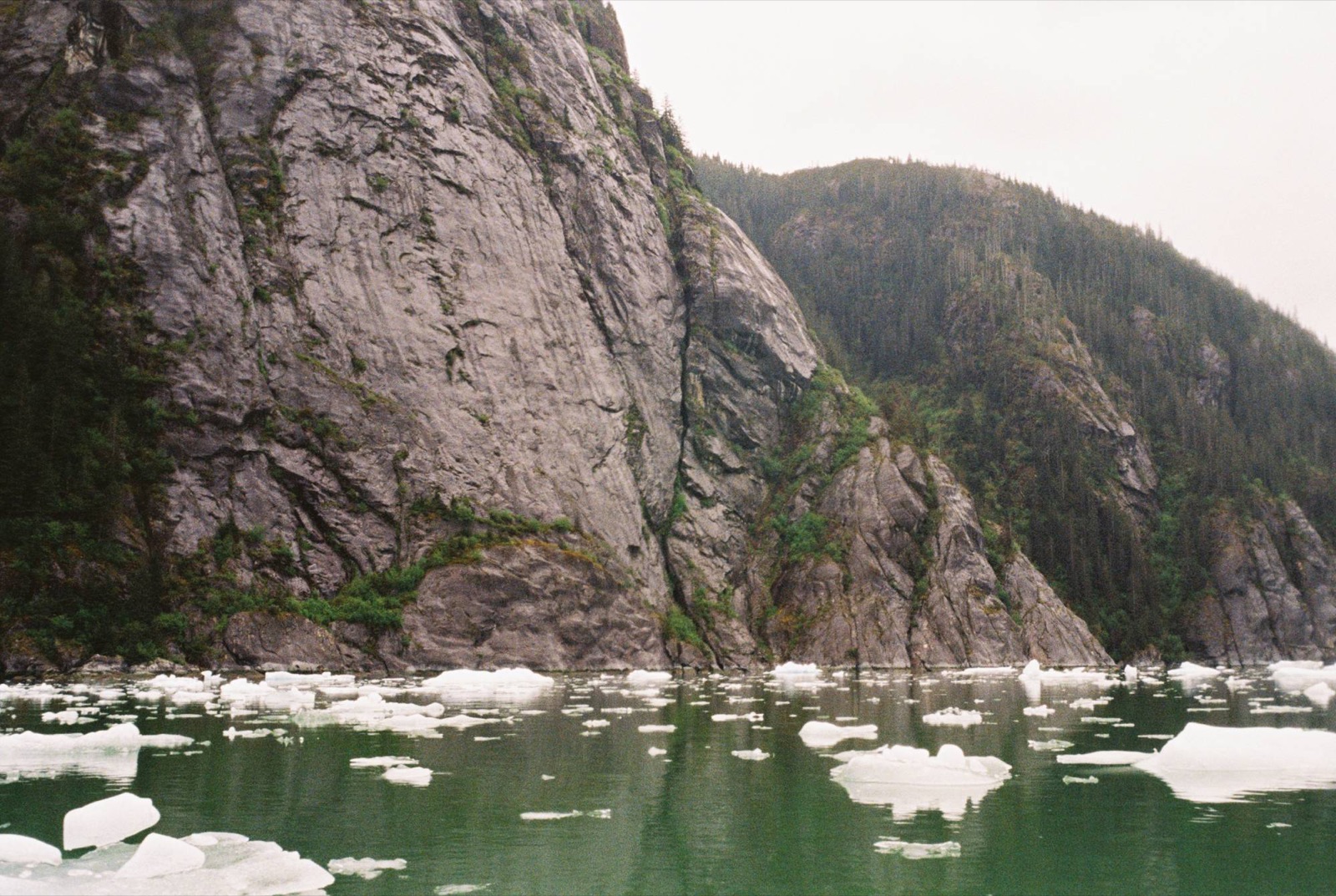
As I entered the canyon, the temperature dropped 15°F, and the dense forest gave way to steep rock walls on either side of me.
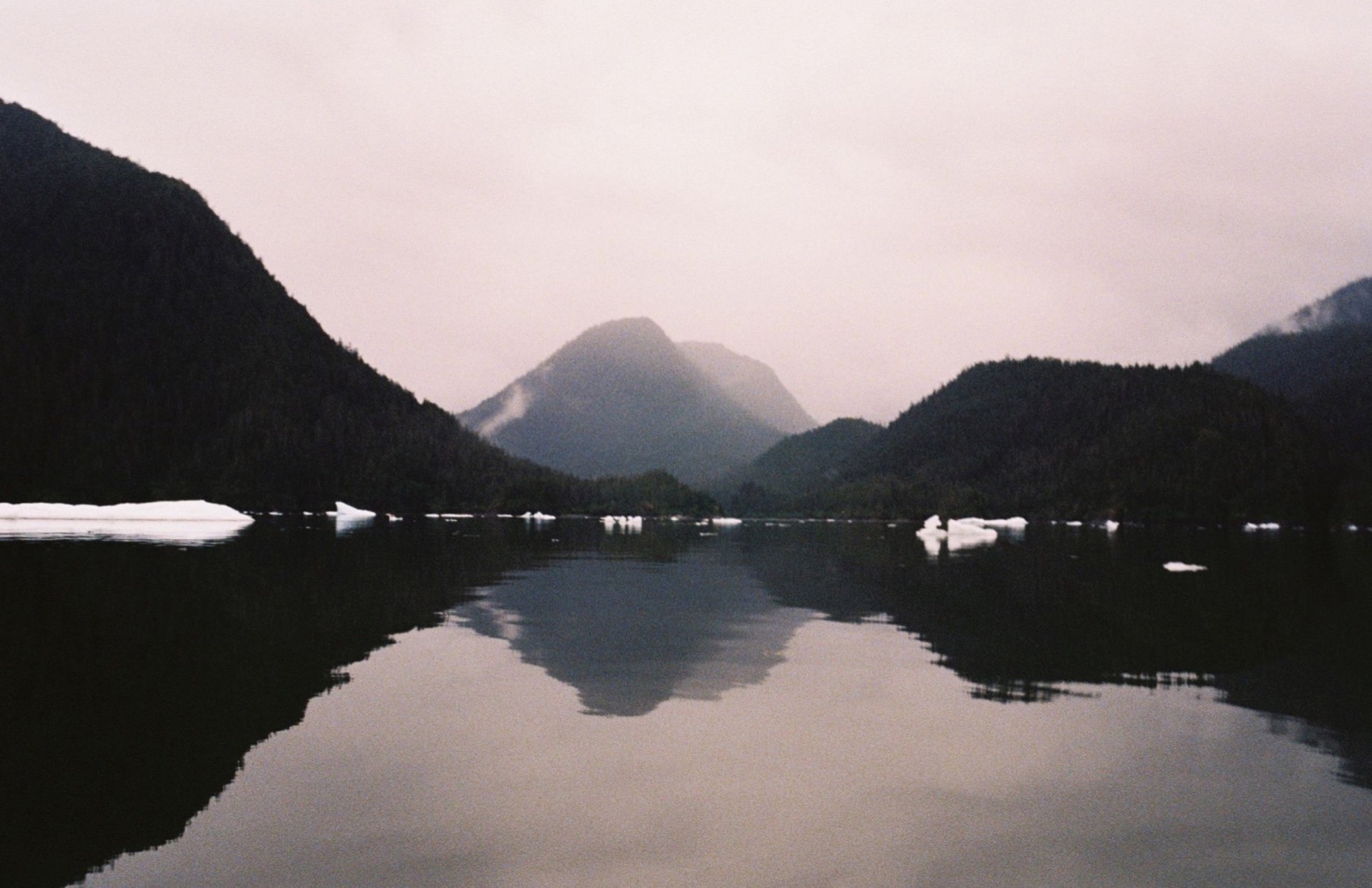
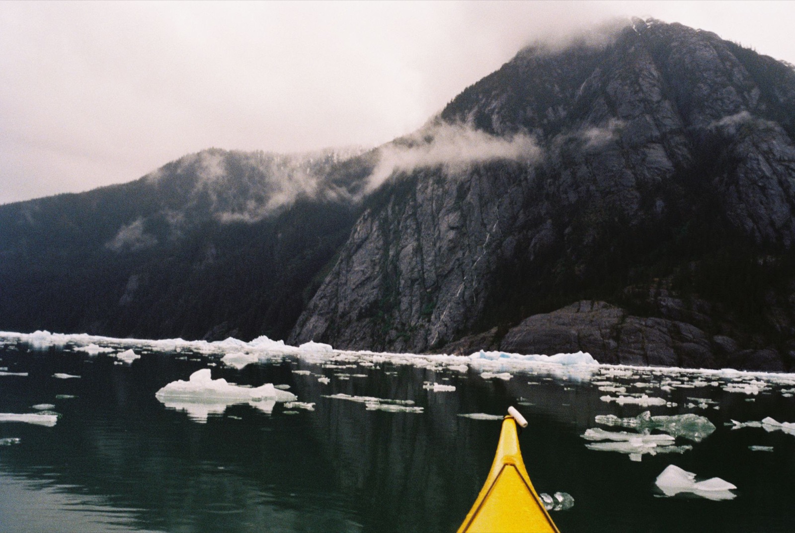
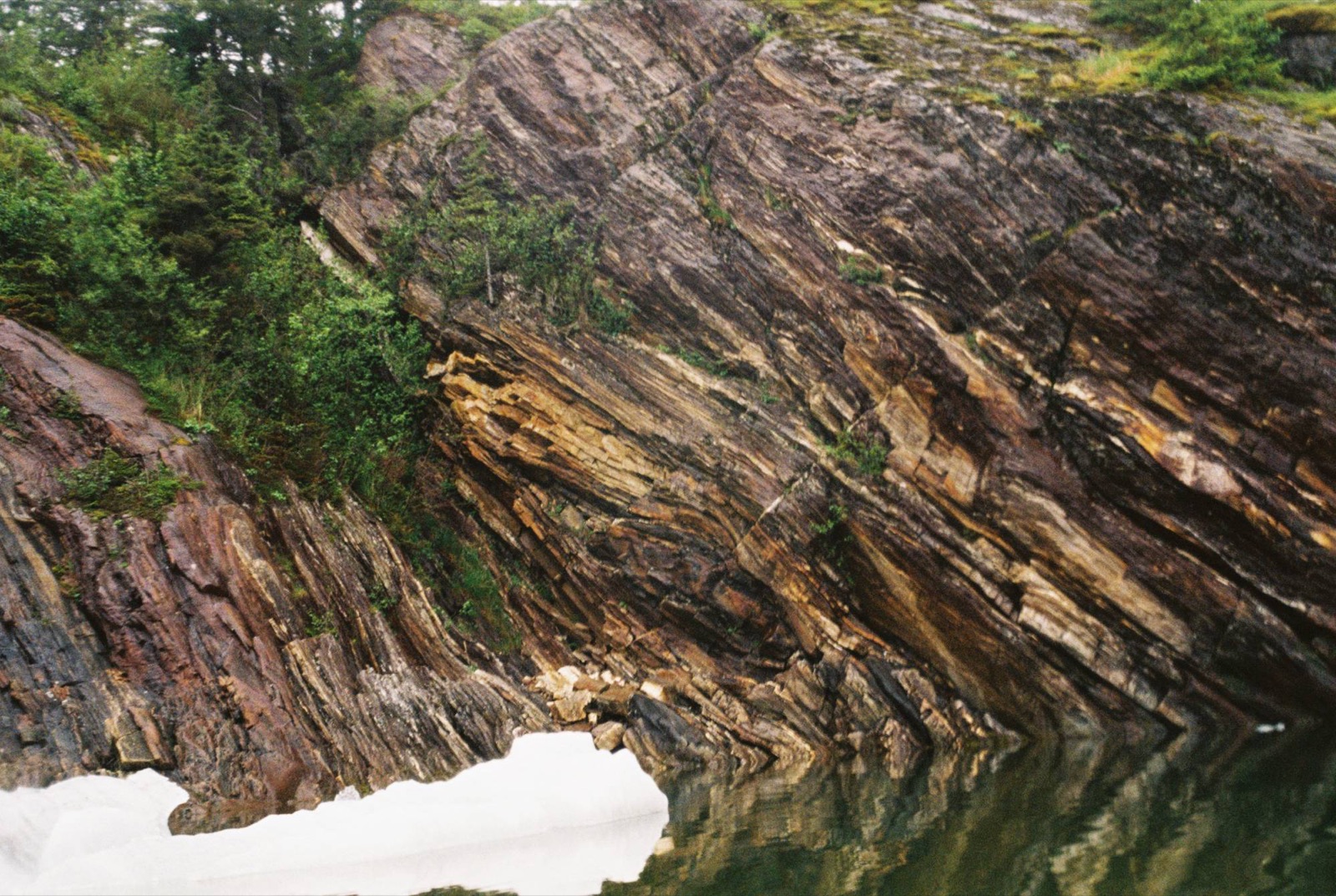
Willows and spruce gave way to anticlines and plutons, and loud bangs echoed like shotgun blasts as icebergs collapsed and flipped over. Giant waterfalls cascaded down polished cliffs, and the hull of my kayak felt like a literal ice cube.
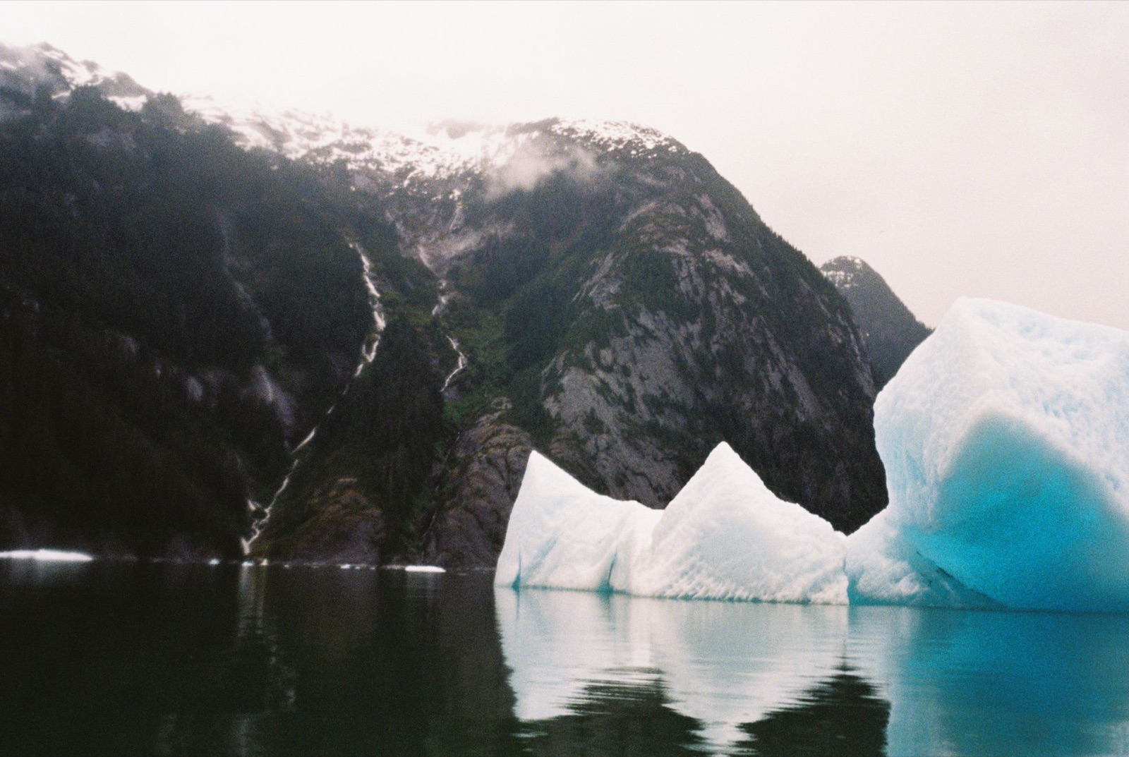
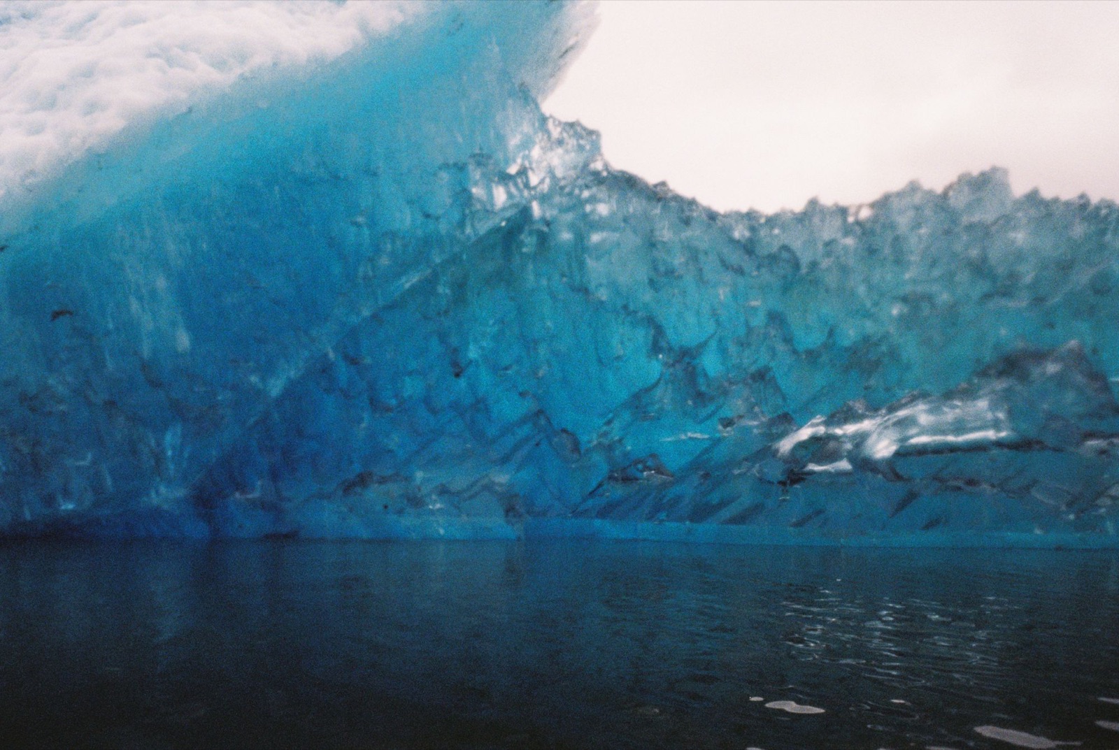
At the glacier’s edge I spotted a group of seals huddled together, resting on an iceberg. The ice was too dense to continue safely, and I didn’t want to risk getting trapped, so I turned south-southwest toward Indian Point, eight miles back the way I’d come. The shoreline was all steep rock, with nowhere to camp.
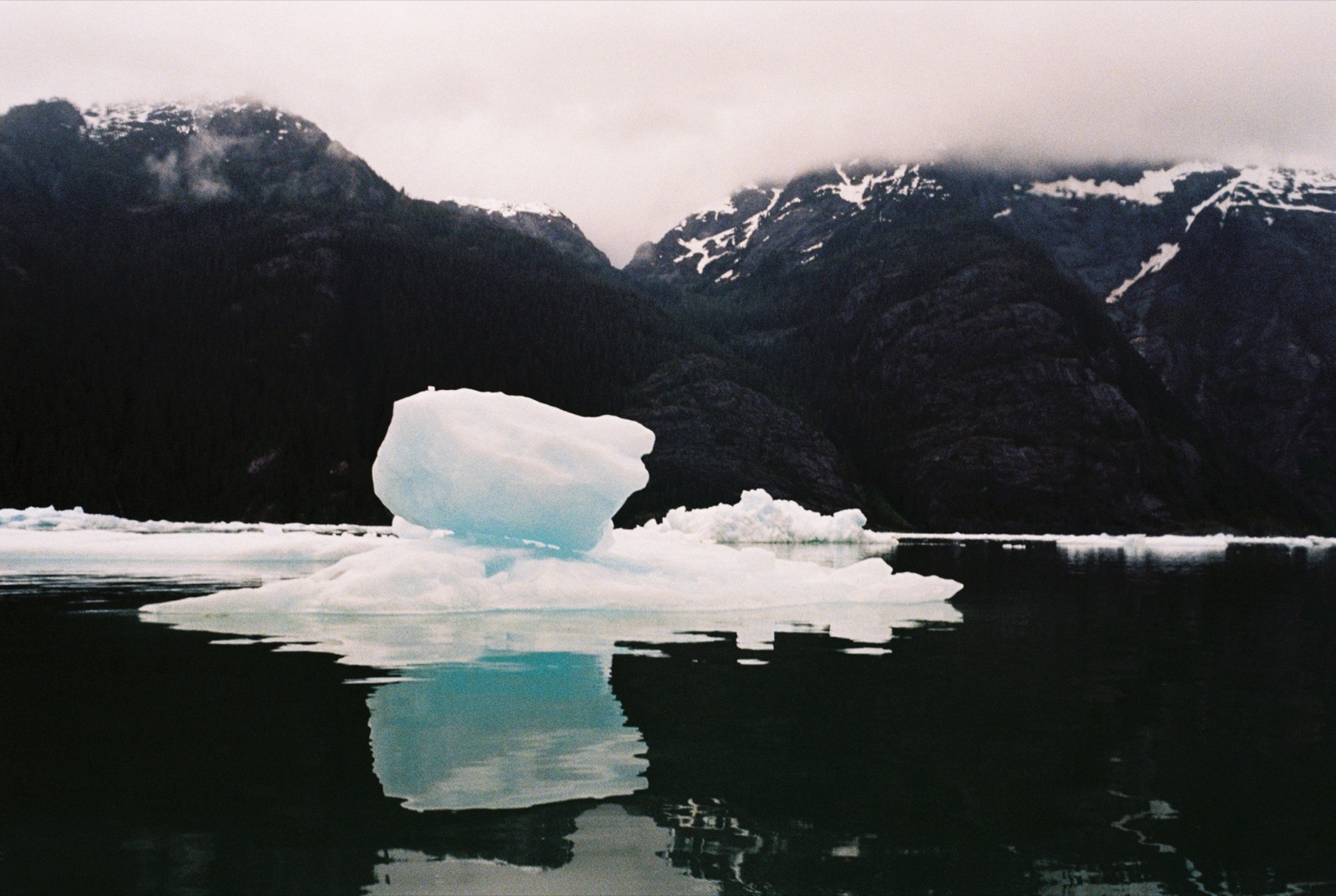
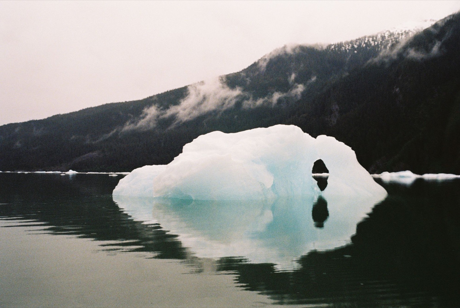
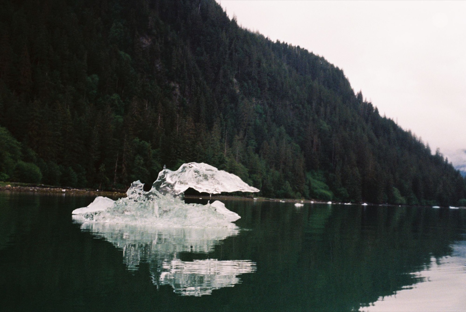
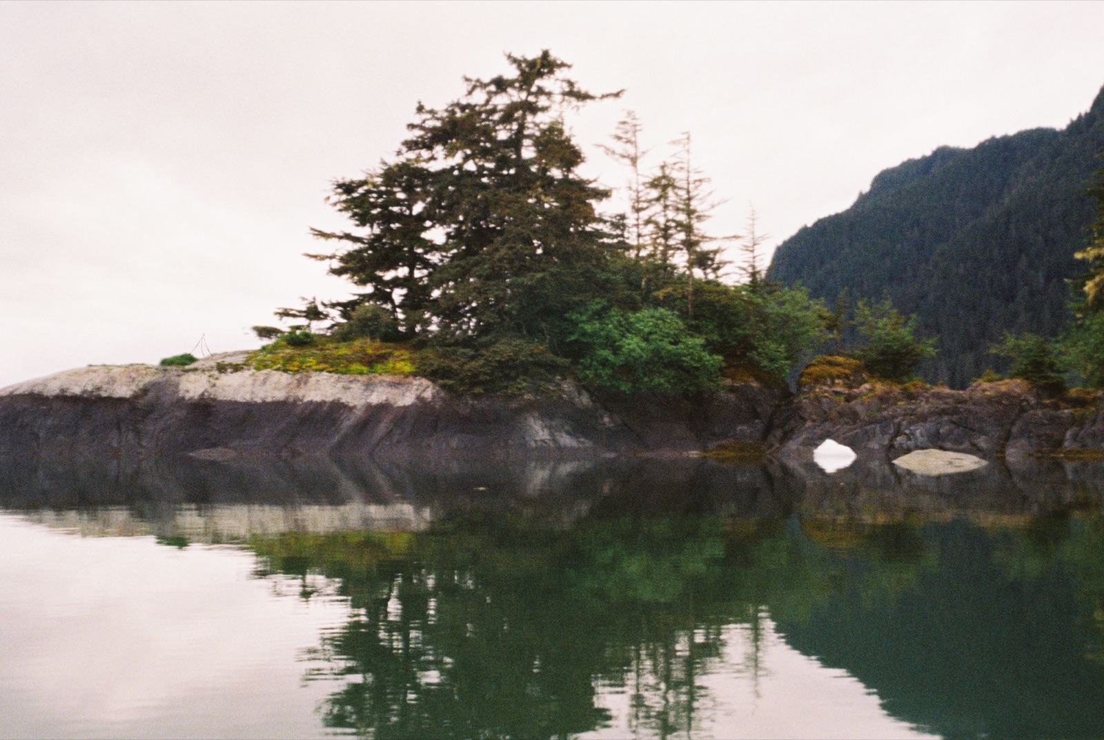
I made it to camp around 7:30. I had some bad chafing, but I managed to bandage myself up and fall asleep quickly. A large iceberg sat just outside the bay, and another in the distance had flipped over to reveal its deep blue color.
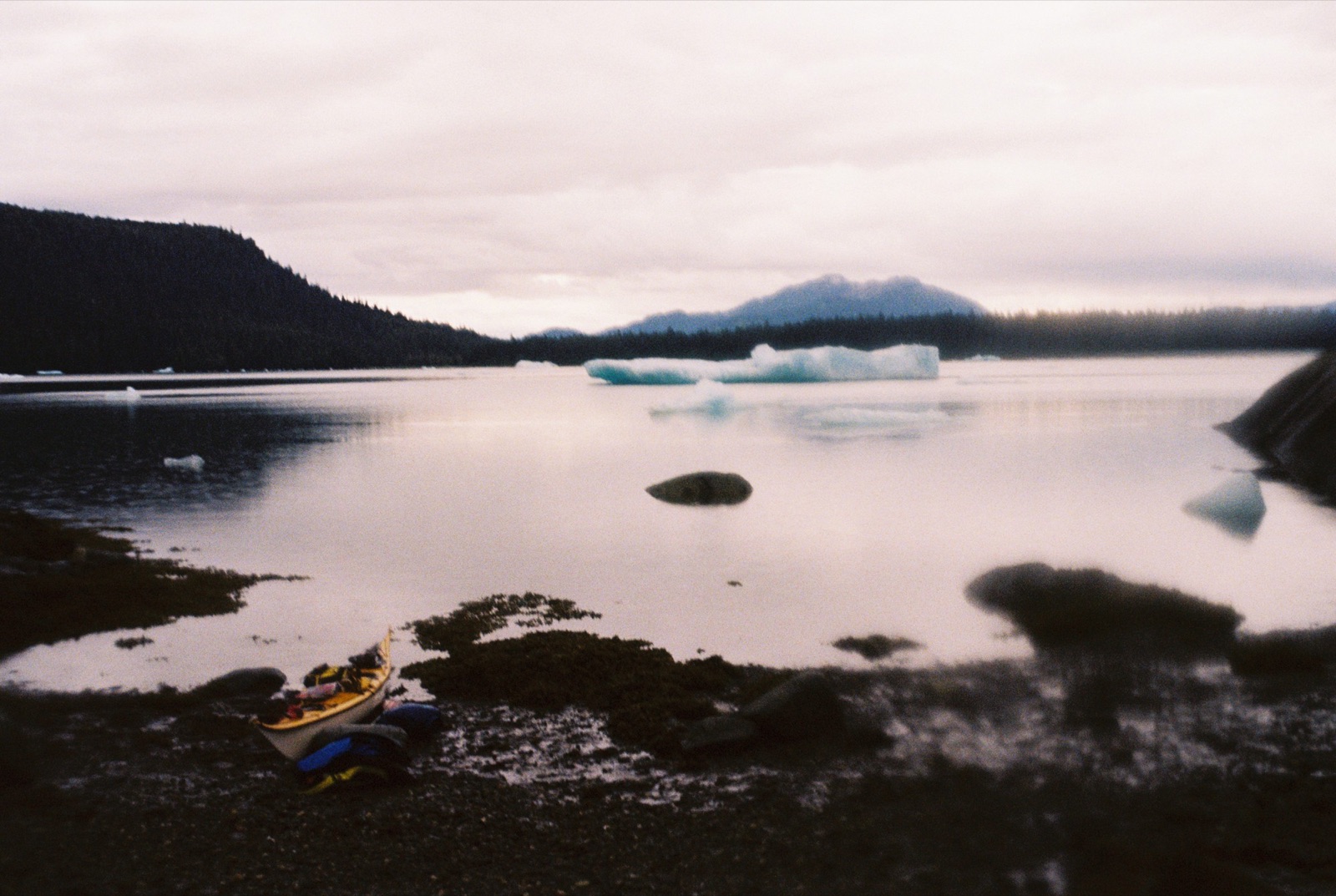
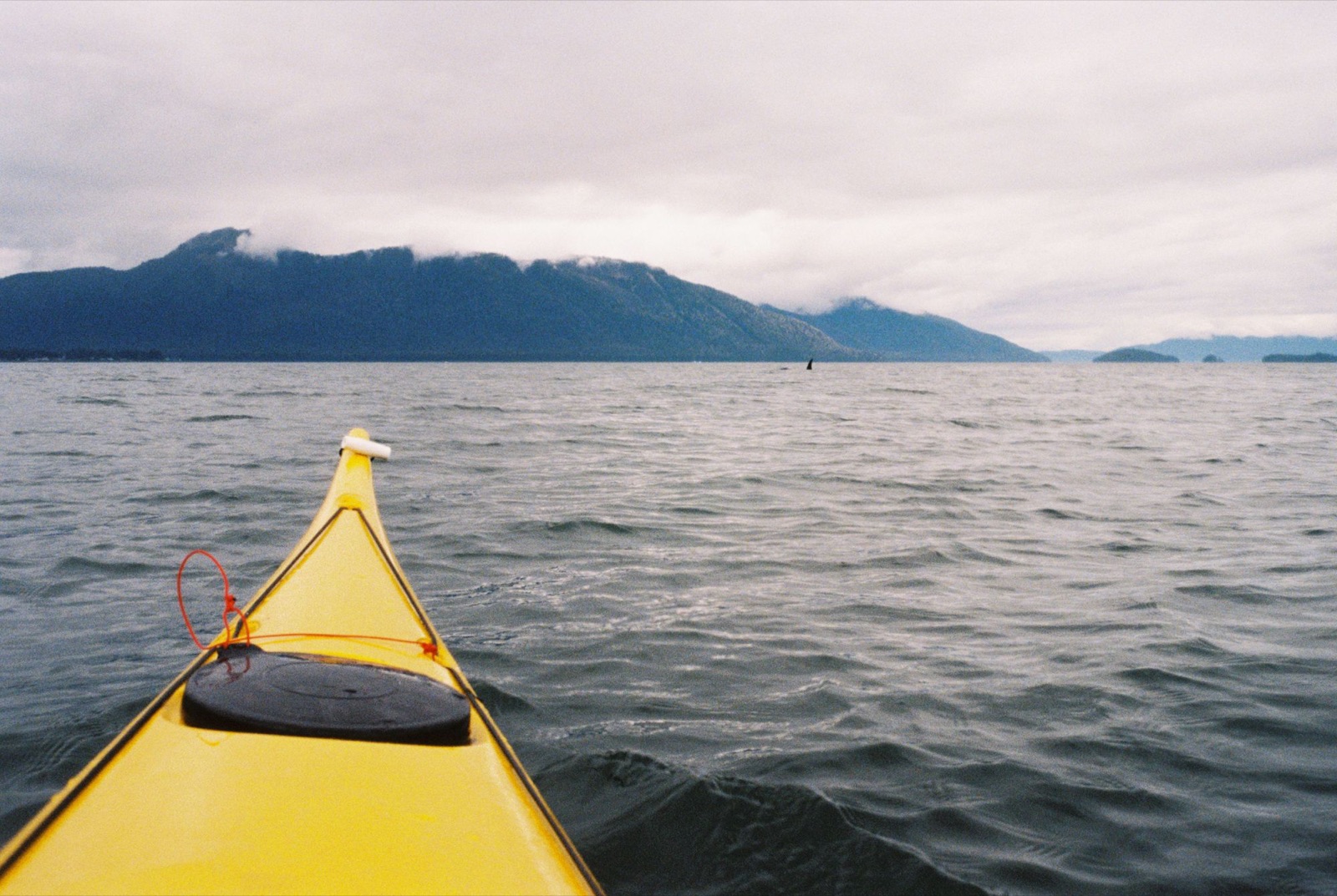
The next morning I set out toward Petersburg, about a 15-mile paddle. I left camp and slipped back into the icy maze. The bergs had shifted overnight, forming new sculptures, shapes, and patterns.
About twenty minutes in, one collapsed just 20 feet ahead of me, cracking and tipping and sending a wave toward shore. Not long after, a young loon let me drift within a few feet before it dove.
The four-mile crossing of Frederick Sound went smoothly. The last few days have brought calm water, likely thanks to the surrounding geography: the sound is tucked between long stretches of land, with Dry Strait to the southwest.
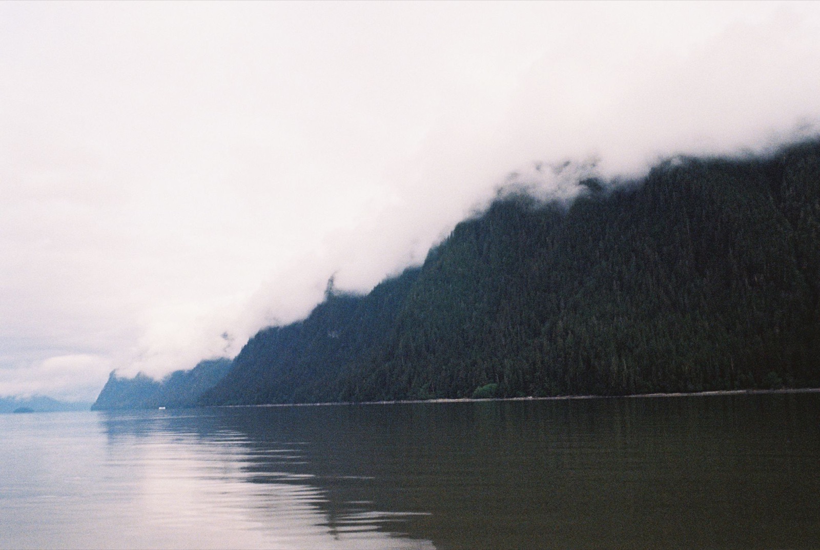
After the crossing I paused near Frederick Point. As I climbed back into my kayak and started paddling, I heard a loud exhale behind me. I turned to see an orca surfacing just 30 feet away.
She stayed on course with me as I headed toward Petersburg. Then I noticed her calf, a little farther out. The mother kept herself between us, and I imagine that was deliberate.
She surfaced again, this time just ten feet from my kayak.
Her skin was stained a faint rusty orange, probably from time spent hunting seals in colder glacial waters. She turned her head slightly and locked eyes with me for a moment. I slowly angled toward shore to give her and the calf some space. For the next hour she cruised off my starboard bow, keeping a steady 50 to 100 yards away.
Eventually I made it to Petersburg: my first town in days, and I arrived with a killer whale by my side.
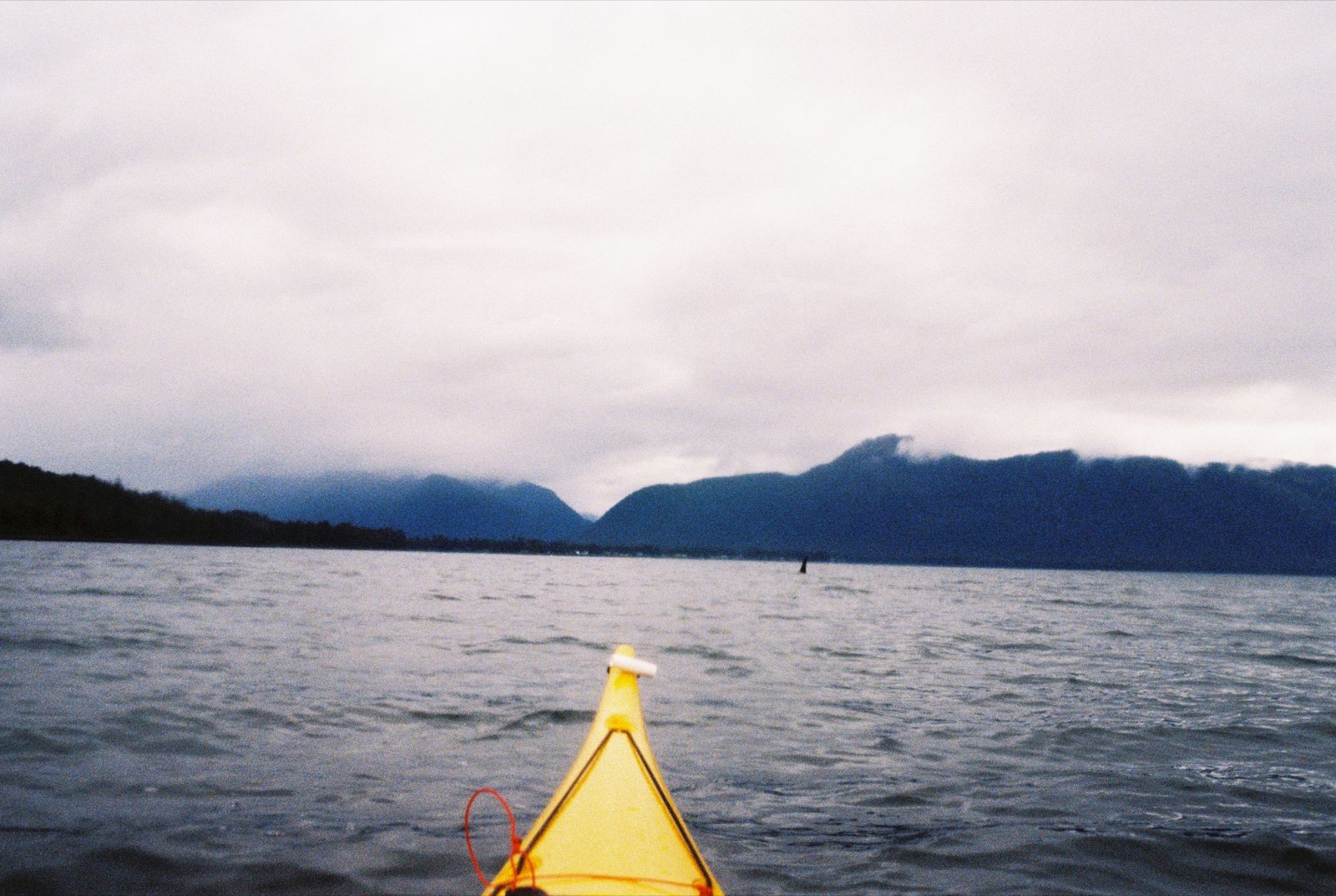
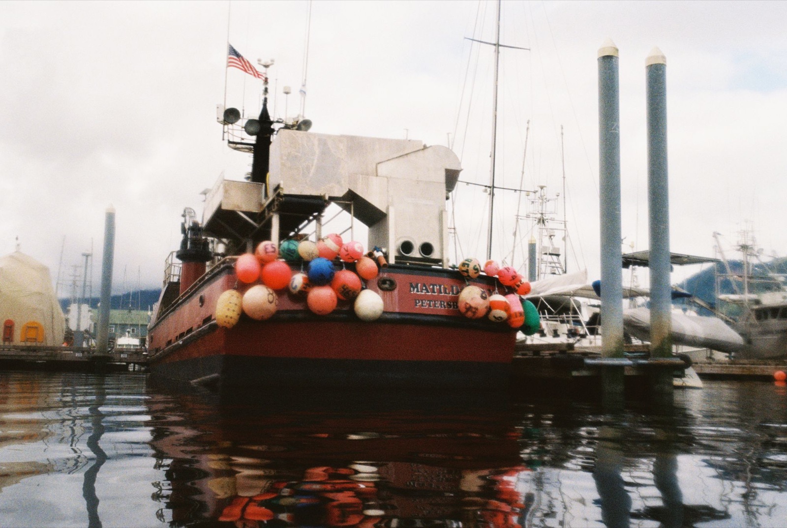
I left Petersburg feeling very refreshed. After some chicken strips and a hamburger, life suddenly felt worth paddling for again. Before leaving, I visited a bay with ancient petroglyphs and rock weirs, remnants of salmon harvesting from thousands of years ago.
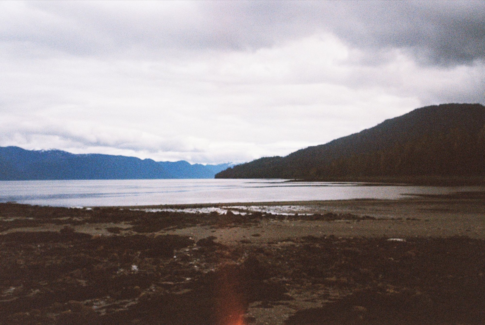
I left the harbor at slack tide. A sailboat passed by, and its captain gave me a wave. Sea lions barked from a distant buoy. One massive male snuck up behind me, and when I turned around, his eyes went very wide and he splashed away.
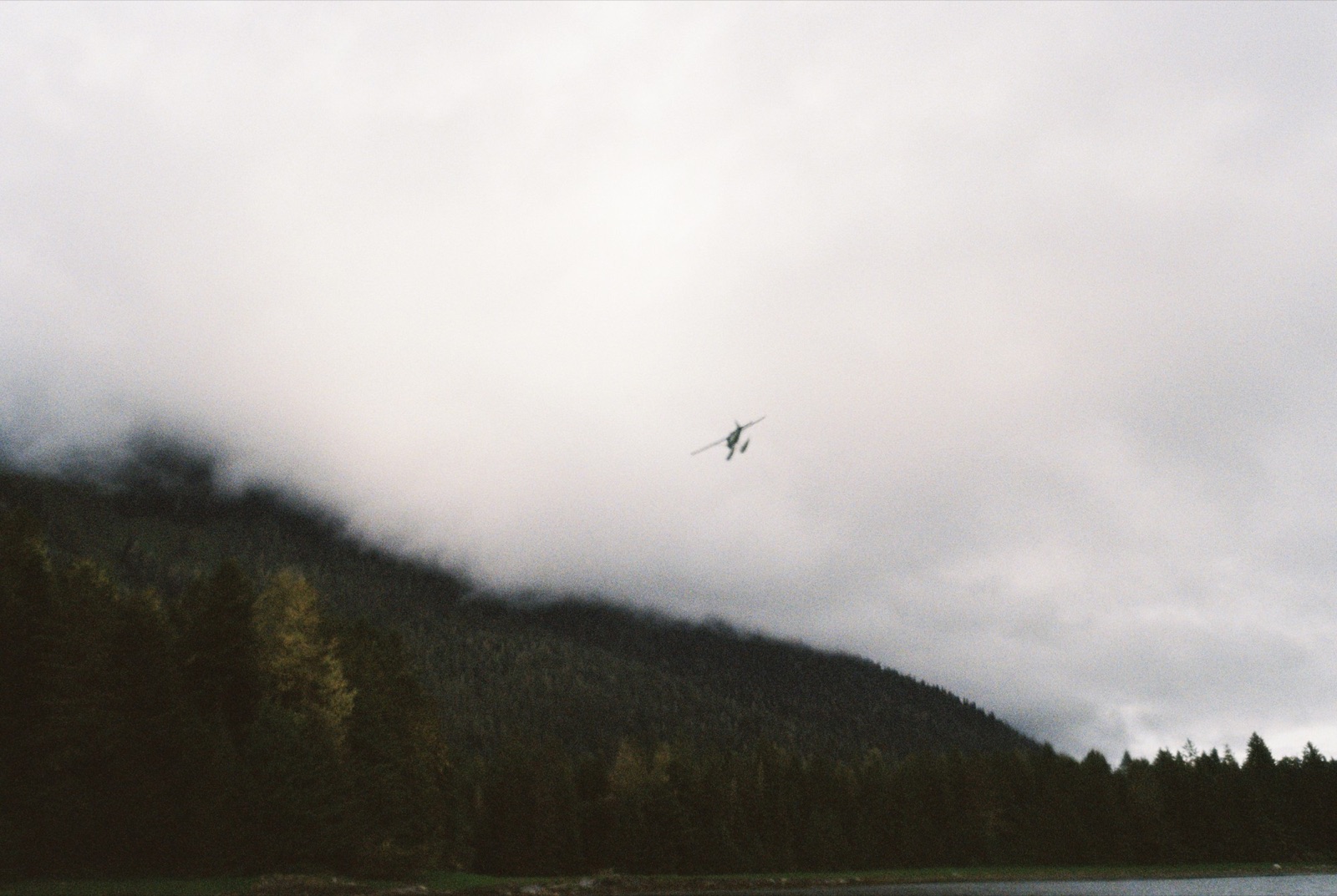
I spotted Harlequin ducks on some kelpy rocks and crept closer, but one saw me and the whole group lifted off, quacking in protest. Sorry, friends.
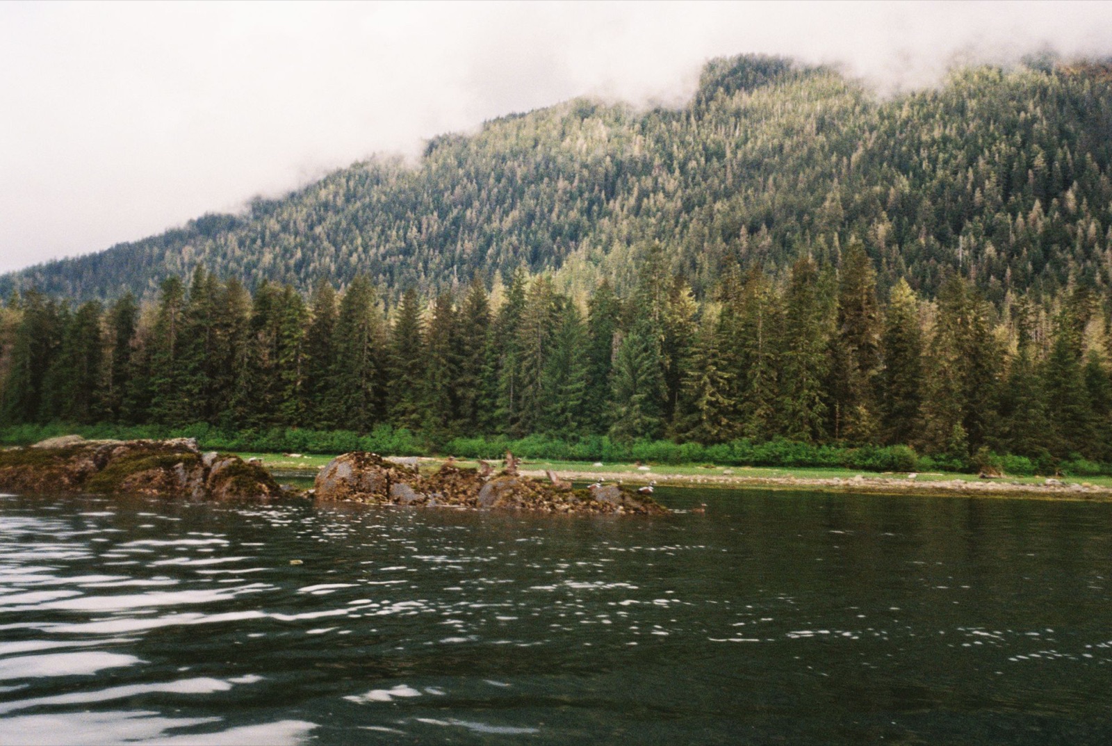
While crossing to the Suikos Islands, I heard a rumble and looked back to see a big tugboat, so I moved closer to Kupreanof Island to let it pass.
I threaded through the islets and headed southeast of Wood Point. With my resupply on board, the kayak felt like a tank. I crossed the entrance to Thomas Bay and passed a bell buoy full of seals. I got closer this time, maybe too close. They leapt into the water barking, and I sped off before they got bold.
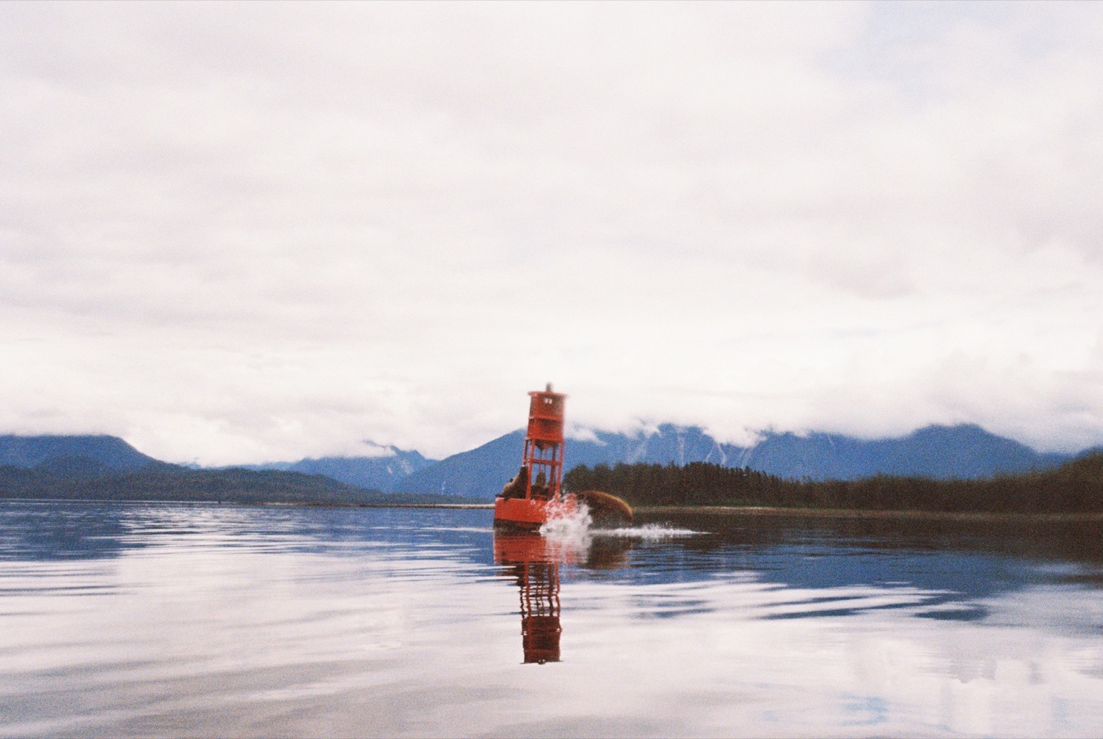
The water turned calm, almost glassy, like paddling on a lake. A distant boat’s swell rolled in, bending the sky’s reflection into shifting lines and colors. I stopped paddling just to watch.
I landed west of Point Vandeput, a spot John Muir once warned about. But it was peaceful: kelp beds, harbor seals, giant barnacles, and tons of tiny hermit crabs.
Rounding Grand Point, the wind shoved me toward a small island. I explored a bit and found a massive driftwood tree and wildflowers, but it was far too exposed to camp. I fought the chop back to Grand Point and saw a moose and her calf on shore. The tide was too low to land easily, so I pushed on toward the east side of Read Island.
I finally found a protected spot on a mossy bluff, with a mink trail nearby, scattered shells, and a kingfisher chattering in the tree beside my tent. It was very windy and rainy by then, and I hoped my wetsuit and raincoat wouldn’t blow away overnight.
← Back to Chronicles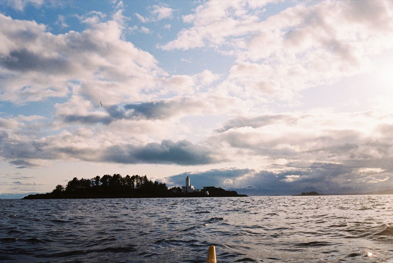
I didn’t leave camp until nearly noon. Howling wind and strong gusts made me wary of paddling, and a weather report said things would calm around midday, so I waited for the gusts to die down. Breakfast was cold and wet. The forecast called for 10-knot winds, but it felt more like 20 to 25.
A deer saw me off, and the east side of the island was calmer than I expected. Rounding the northeast corner, I saw chop in the bay, but I hoped the forecast was right and that a direct crossing would save me some miles. It wasn’t worth it. It was easily one of my choppiest crossings yet, with big whitecaps and four- to five-foot swells. One wave washed completely over my bow, and I had a few scary moments just staying upright. A fishing boat lingered near the entrance the whole time.
I ducked into a sheltered bay for a breather, then paddled on through rough water. I thought about calling it early, but the semi-sheltered stretches to the north kept me going, hugging the shoreline. South of Point Highland, a wave dropped me into the shallows and I hit a rock. Thankfully, the kayak held up. Farther on I passed a huge gathering of seals in the murky water, playing in the surf while I picked my way around the rocks.
Staying close to shore meant smaller swells, but rounding the points was hard. At one tense moment I spotted a young brown eagle hovering perfectly still in the wind. It reminded me to let the swell pass beneath me, to stay balanced, and not to fight so hard.
Later the clouds opened, throwing sunbeams onto the water in the distance. The rain stopped, and the wind eased around five. Then I rounded Cape Fanshaw and everything changed: calm water and blue sky. I crossed to Storm Island, then on to Five Fingers.
I thought I’d timed it for slack, but I had misread the tide tables and hit max flood instead. Luckily, after a full day of chop, it felt manageable. Two whales spouted in the distance.
A sea otter greeted me as I landed, the first one of the trip. I hauled the kayak up a cliff and carried my camp gear inland, walking through sunlit Spanish moss and wildflowers.
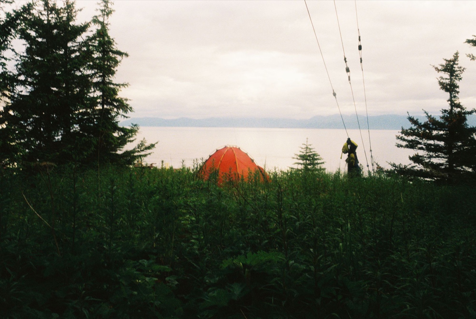
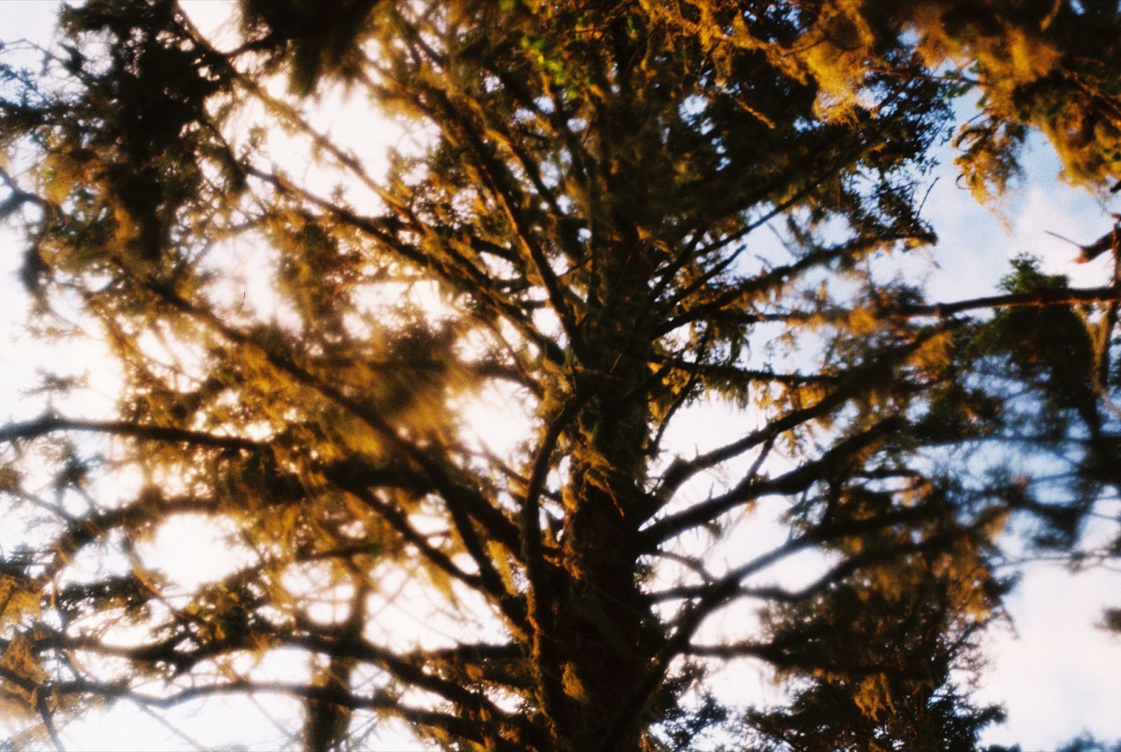
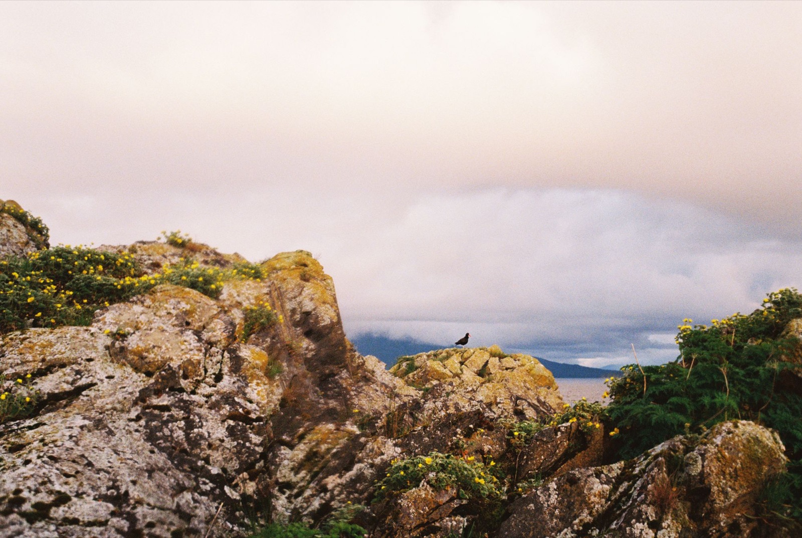
I explored the lighthouse and couldn’t find anyone around.
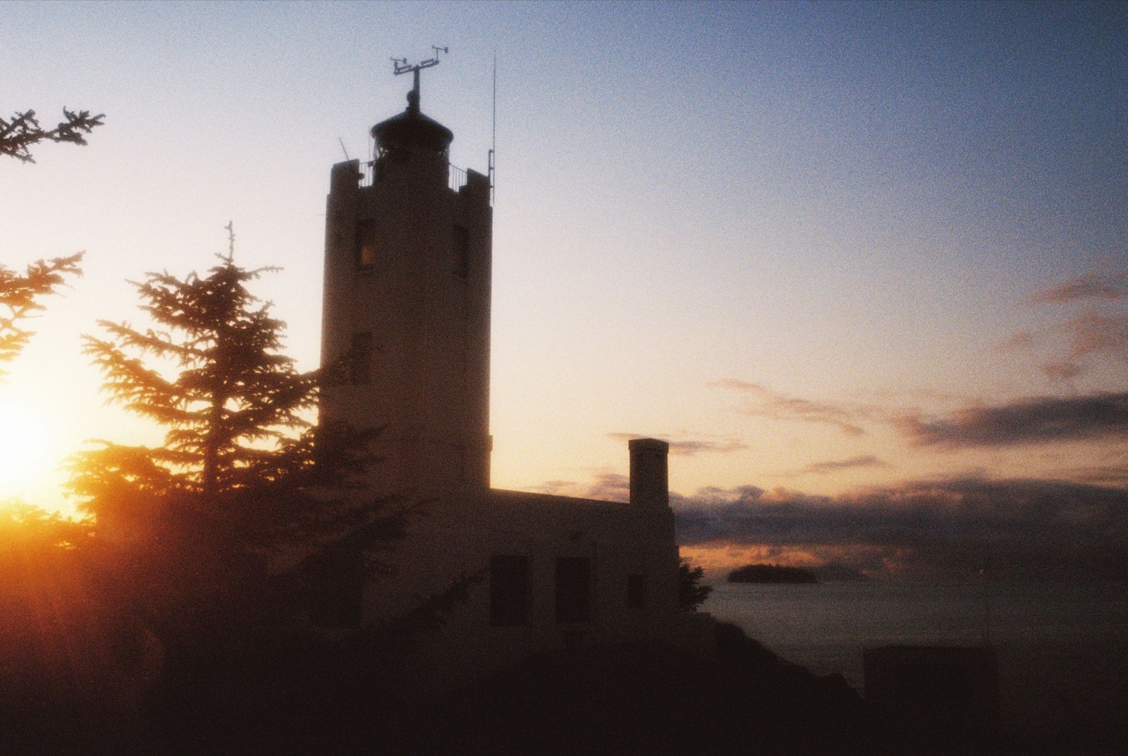
The sunset was incredible, with crows calling and guillemots chirping late into the night.
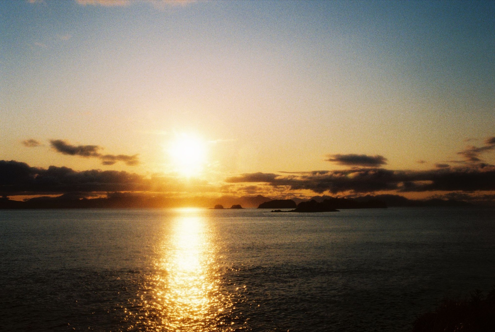
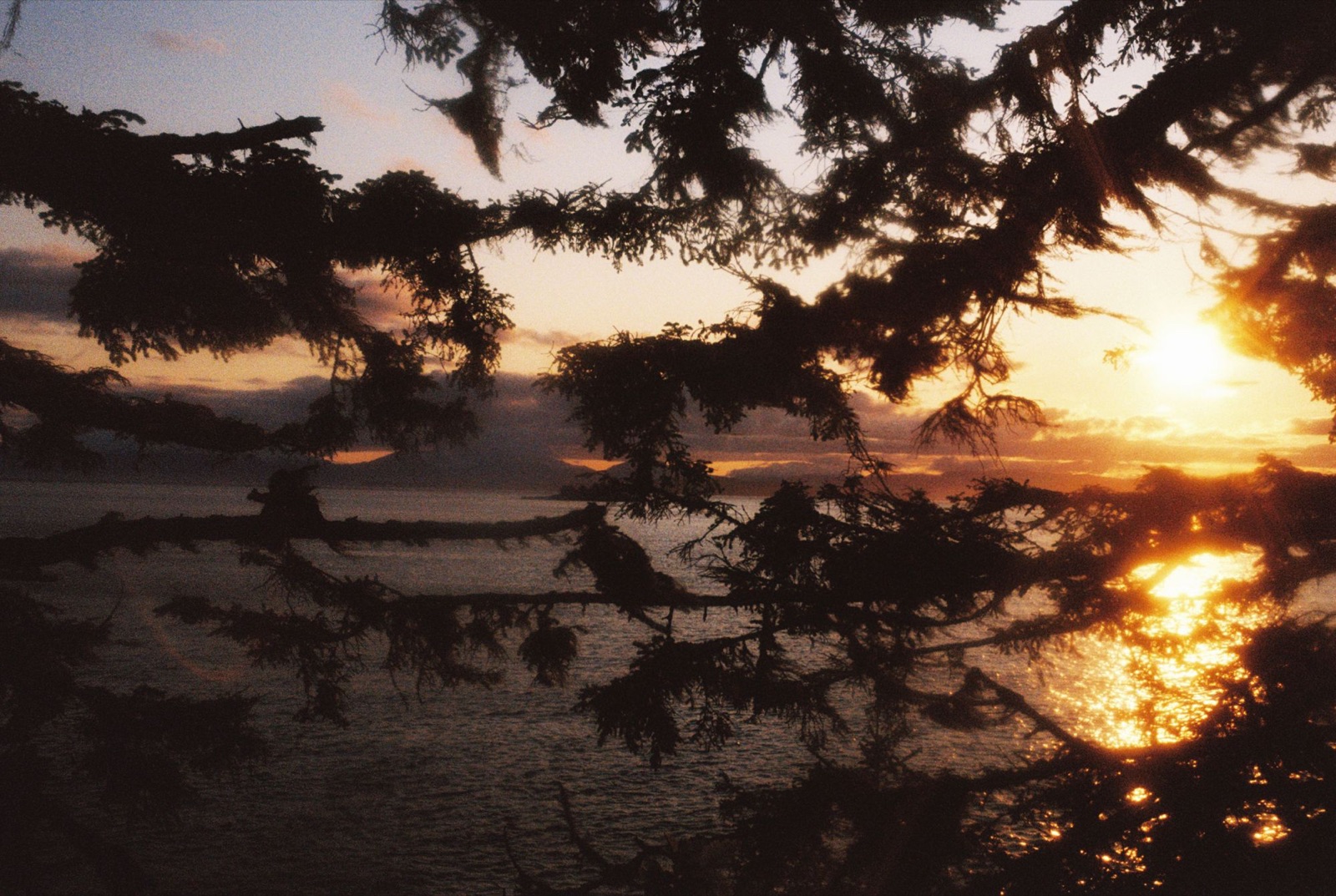
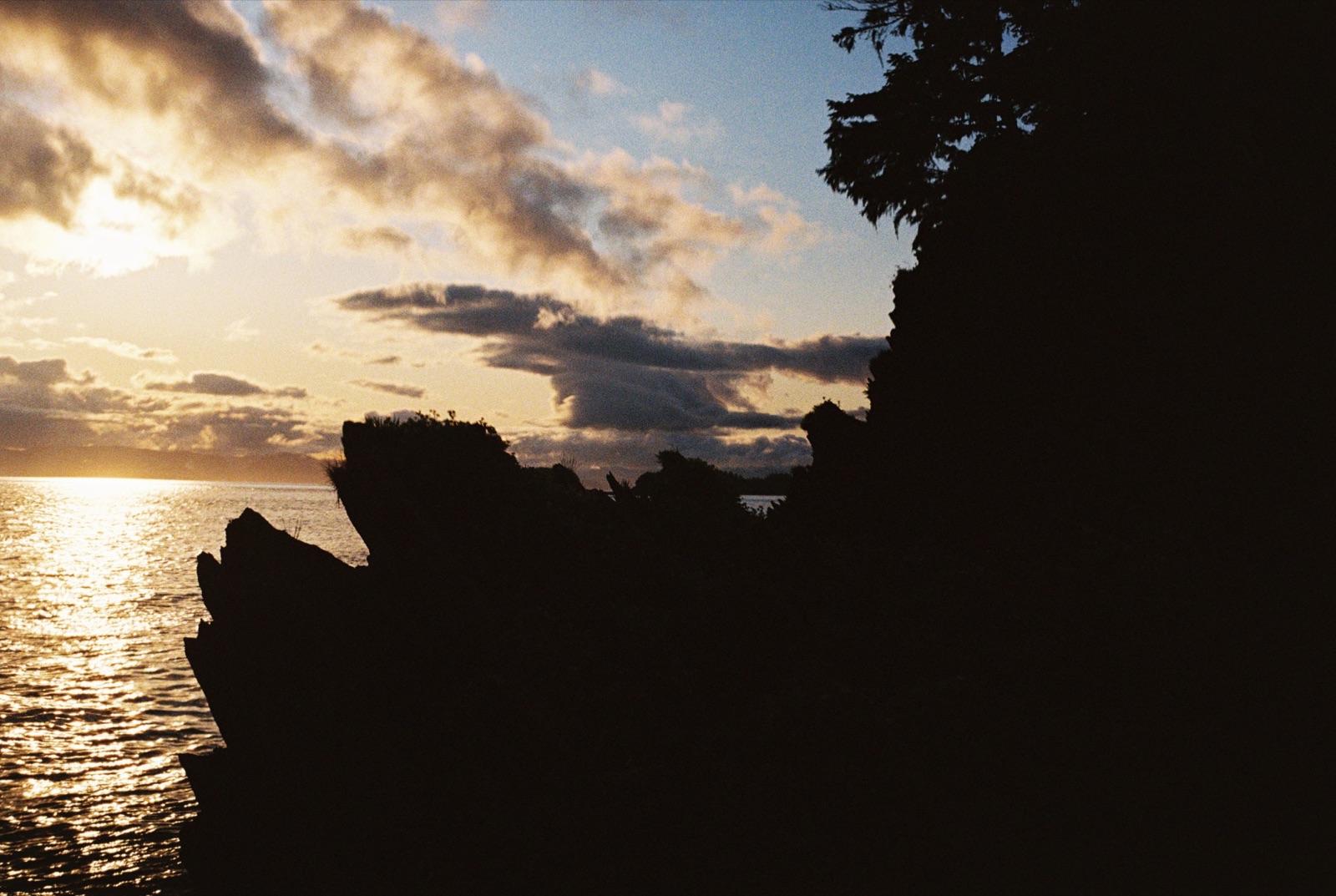
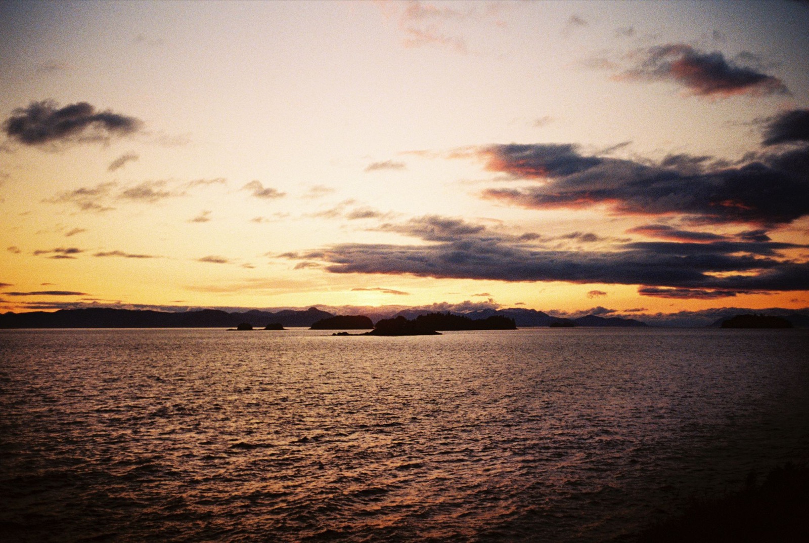
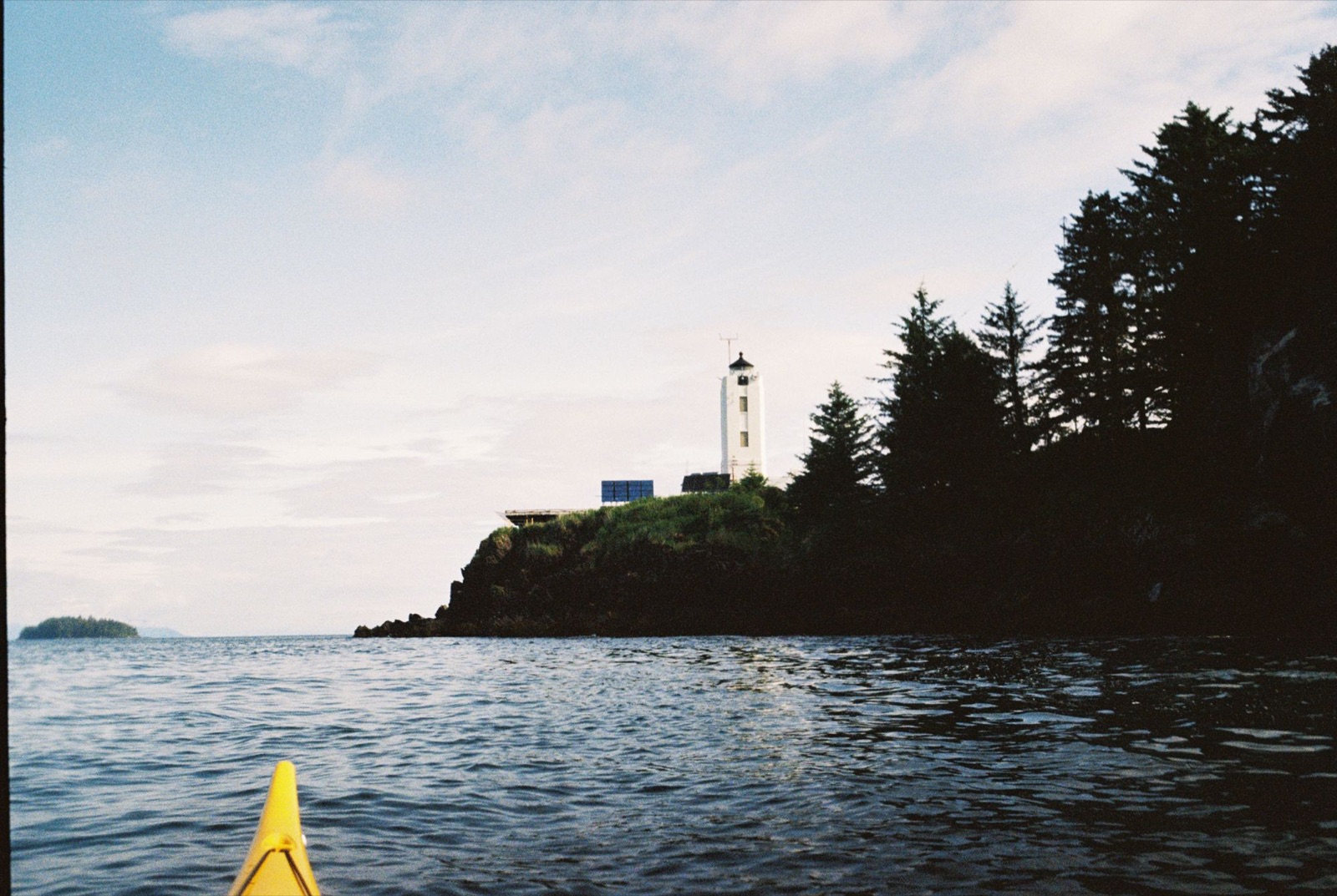
I woke to the sound of crows and whale blowholes. All night I’d thought I was sleeping above a sea cave, with the occasional wave splooshing around inside it. In the morning I was surprised to learn that the whole cacophony was coming from humpbacks migrating north, the biggest I’d seen on the trip so far.
It was strange to see crows building their nests right on the ground. It seemed they had no natural predators out on these islands in the sound, at least nothing big enough to nab one of their eggs.
Peering out of my tent, I saw a whale’s fluke in the distance, and two others breached nearby. I’d never seen so much life around me. A sea otter floated just off my campsite, bathing in the kelp and clearly enjoying a slow morning of whale song. Paintbrush and shooting stars dotted the ground around my tent.
Before I left, I decided to knock on the door one more time. This time I met Don and Alice, two lighthouse keepers lucky enough to spend part of every season out here. They opened the door looking a little ghastly and announced that no one had ever knocked on their door before. Once the surprise wore off, they offered me a water refill and a freshly baked rocky road treat of sorts. It was lovely to see another human. It had been a week or two since I’d had a real conversation.
Paddling out, I drifted close to another otter. There seemed to be a whole family out here, and I got close enough to see one with that characteristic pink nose. Whale tails, spouts, and even a harbor porpoise bid me farewell as I started the long crossing west toward Admiralty Island.
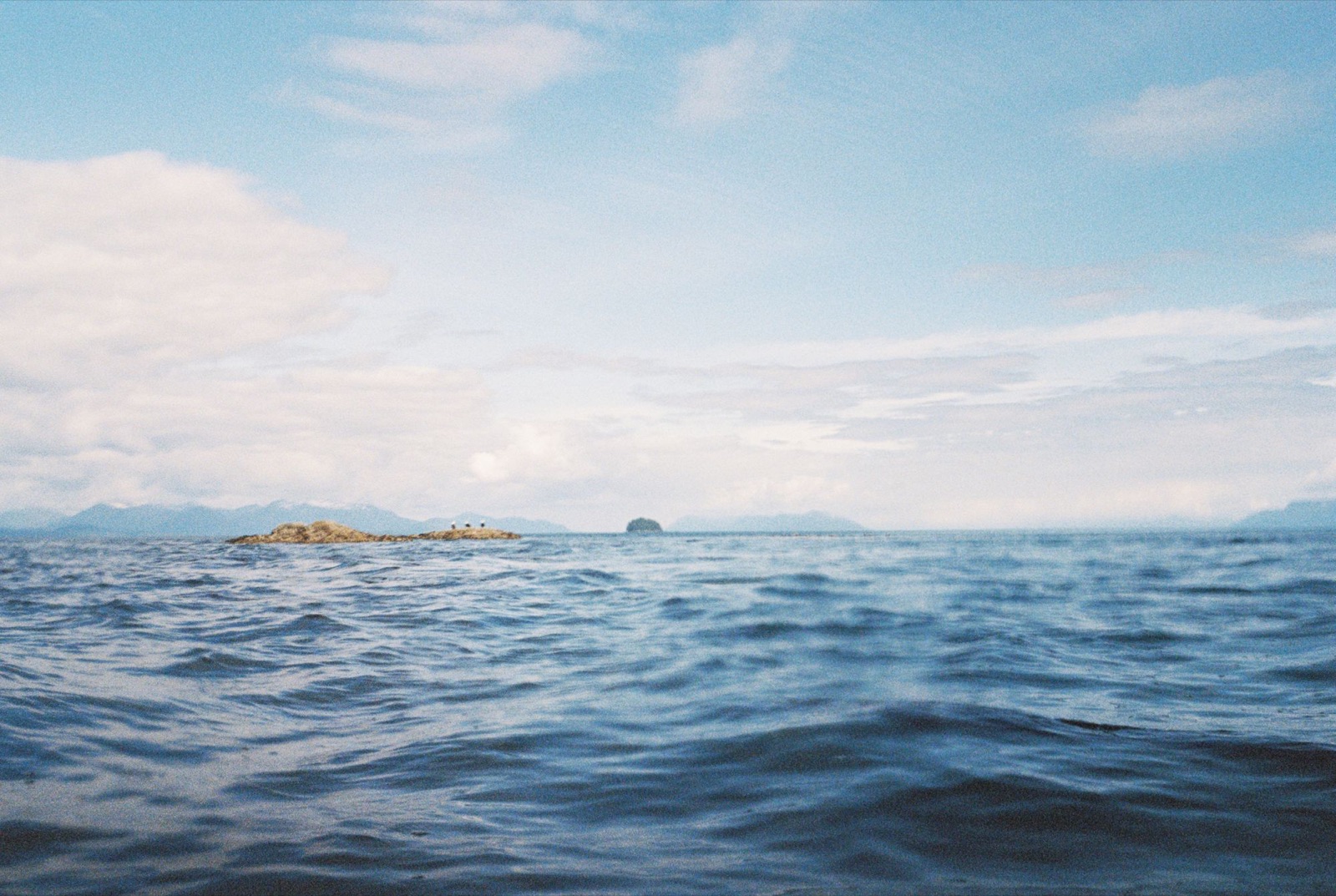
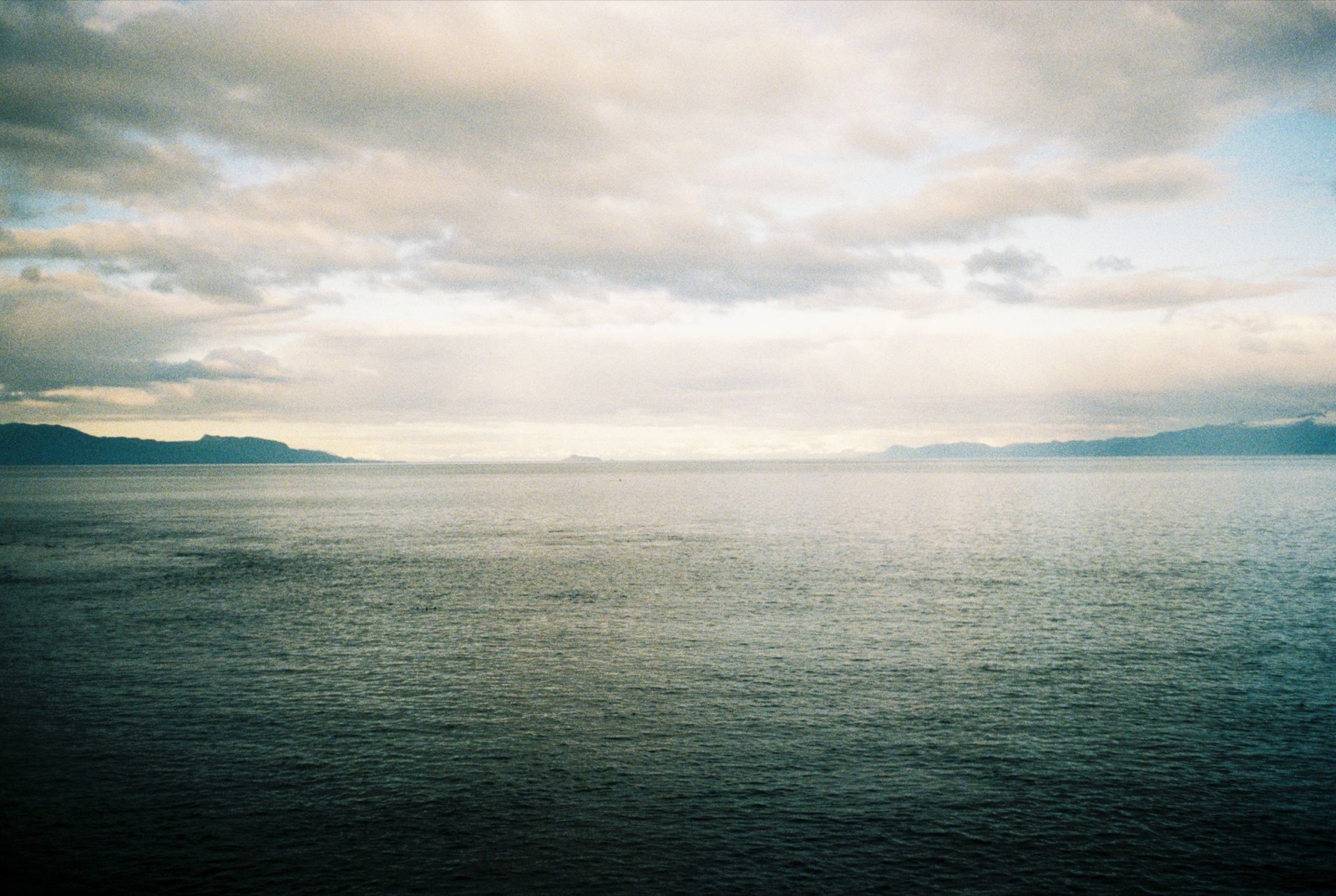
My first crossing was to a small unnamed island just east of East Brothers Island. It went well, just a little choppy. The second, over to Admiralty, was harder: a slight ebb current kept pushing me south, and the chop picked up. Then a Sabine’s gull showed up, and calm water followed it in. Deer and sea otters welcomed me to Admiralty.
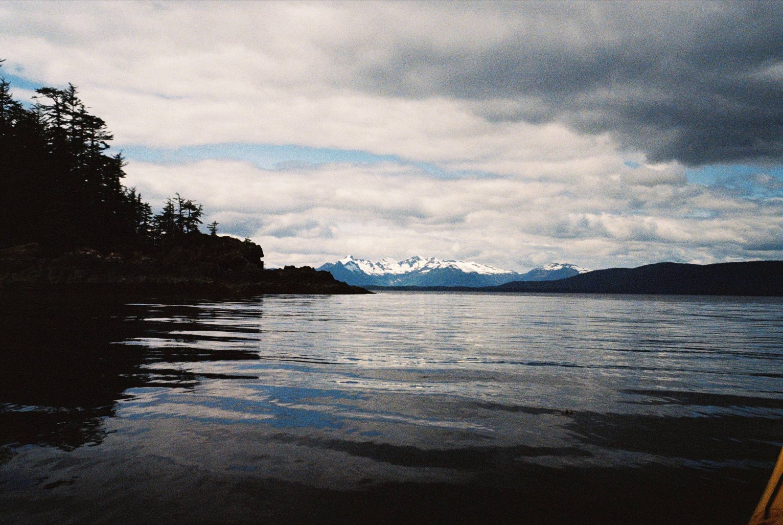
I worked my way north along the shore toward Gambier Bay. A harbor seal surfaced with her pup, and it was so small! The rocks here were folded strata, bent into layers, and the tide was low, which made for a great paddle. The sea stars had lots of legs.
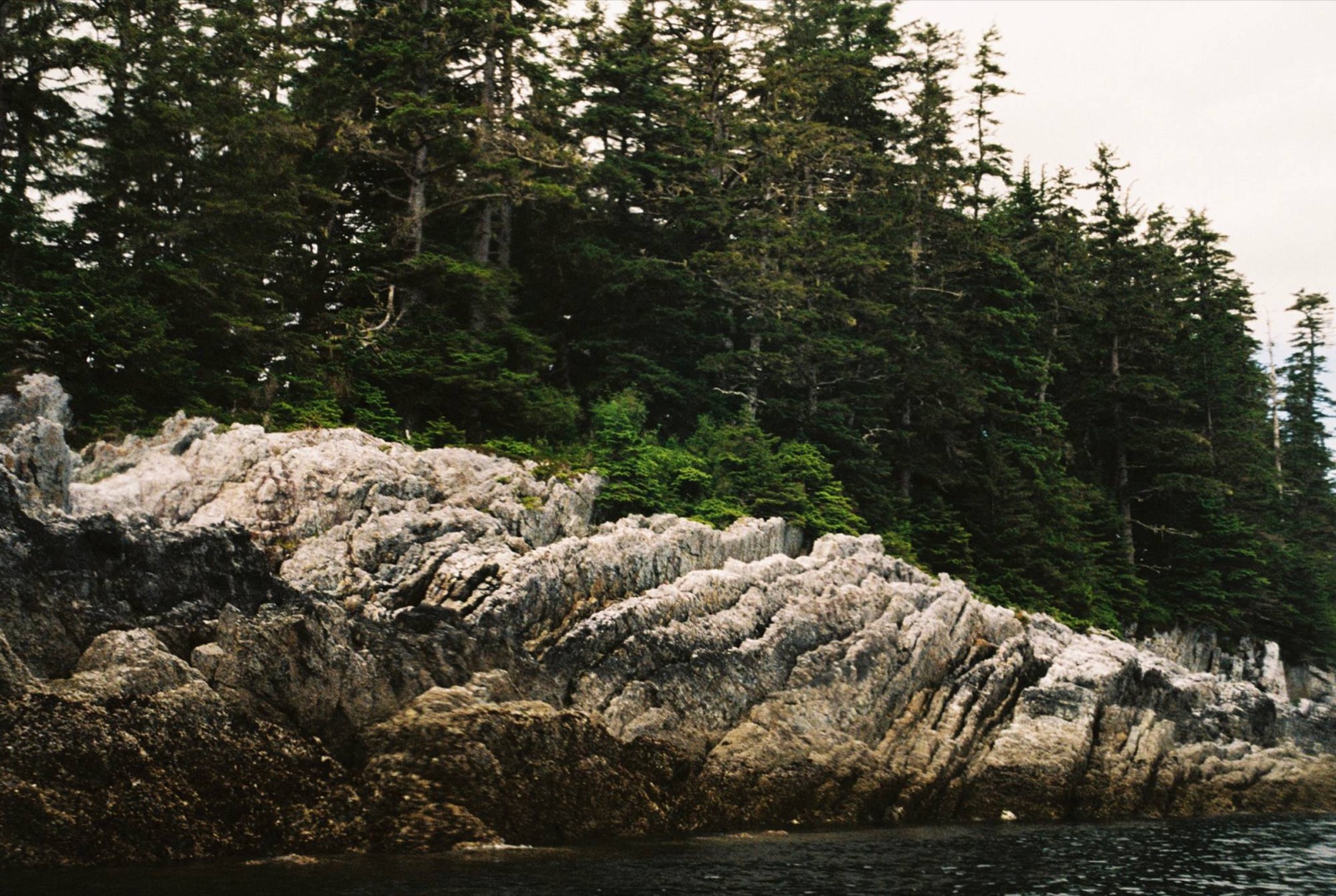
Next to a big rock with a crack running through it, I heard river otters chattering among themselves. Maybe they’d had a good catch that morning. I stopped in a small cove that I’m calling Snail Cove, since tens of thousands of tiny snails littered every square centimeter of the cobbled beach. Lots of small fish were jumping offshore. As I turned into Gambier Bay, a small whale was making its way in too.
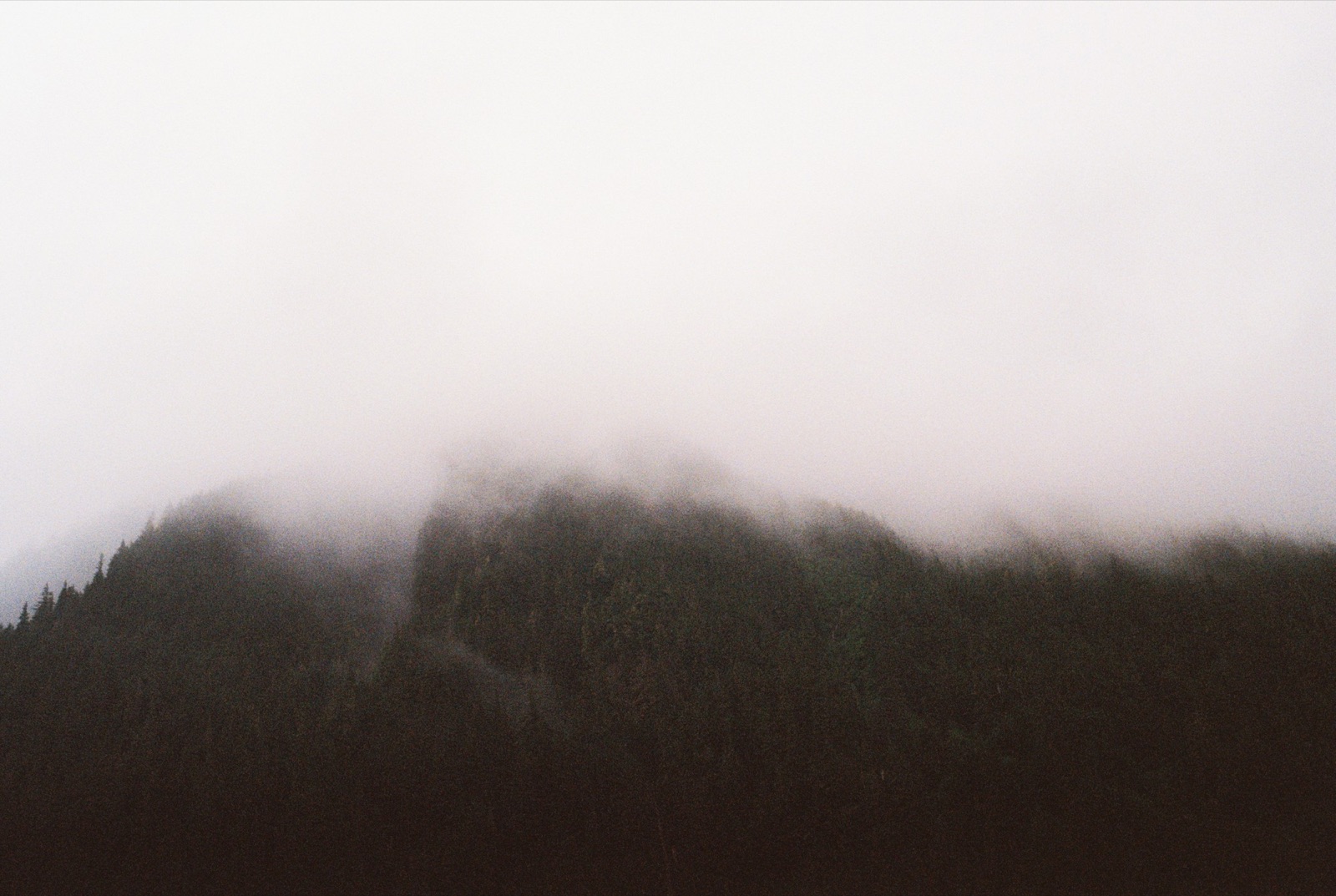
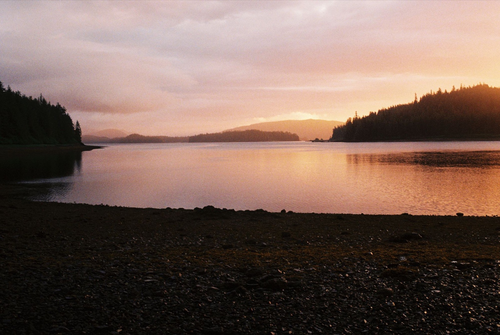
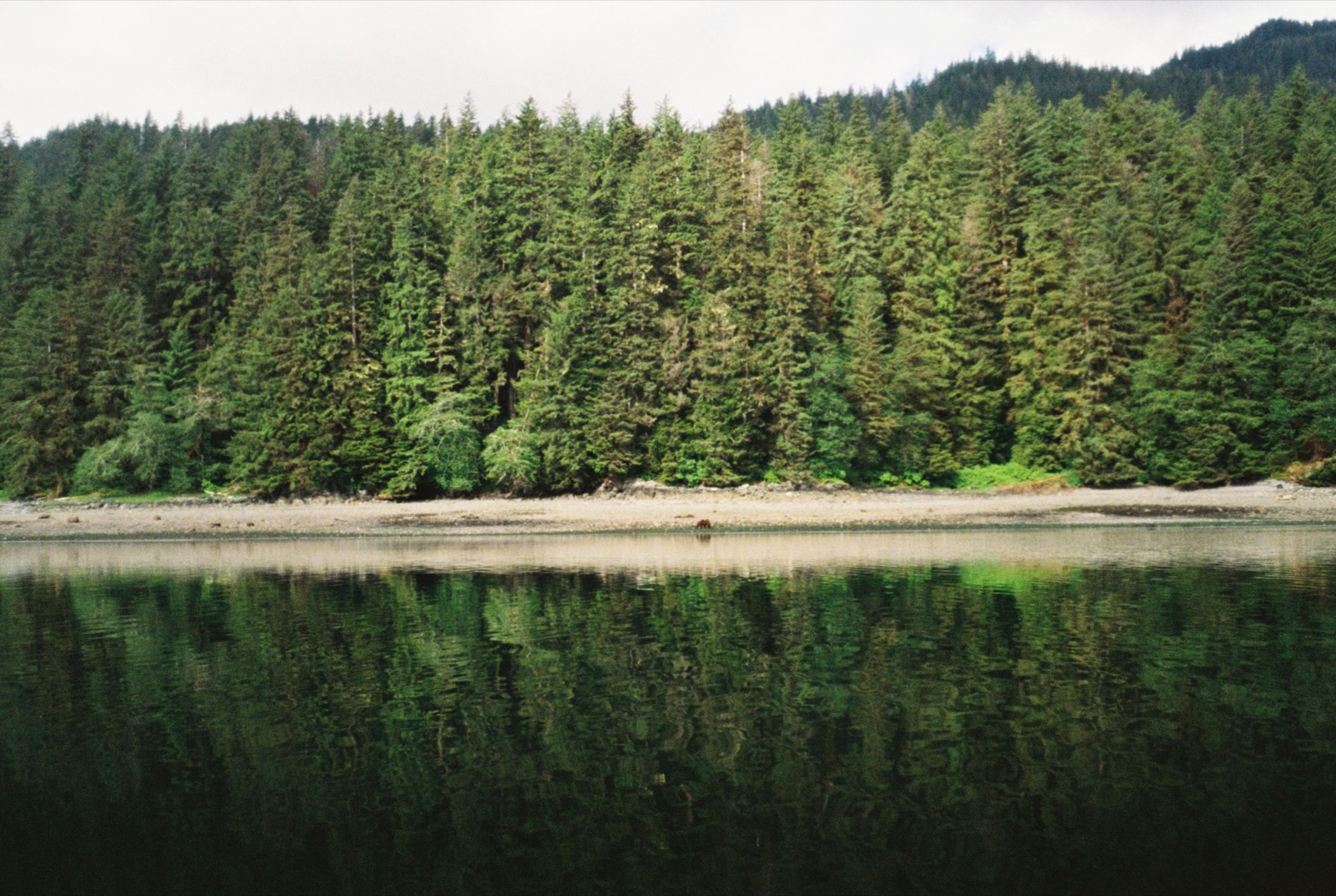
I spent the night in a Forest Service cabin known as the Church Bight Cabin. It was lovely to have a roof over my head. The trouble was water. I was running low on fresh water, the only creek nearby was a mile or two away, and a couple of grizzlies were dotting the shoreline in between.
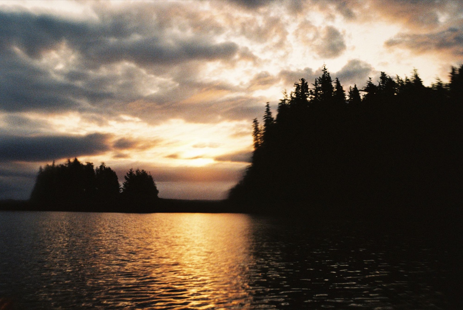
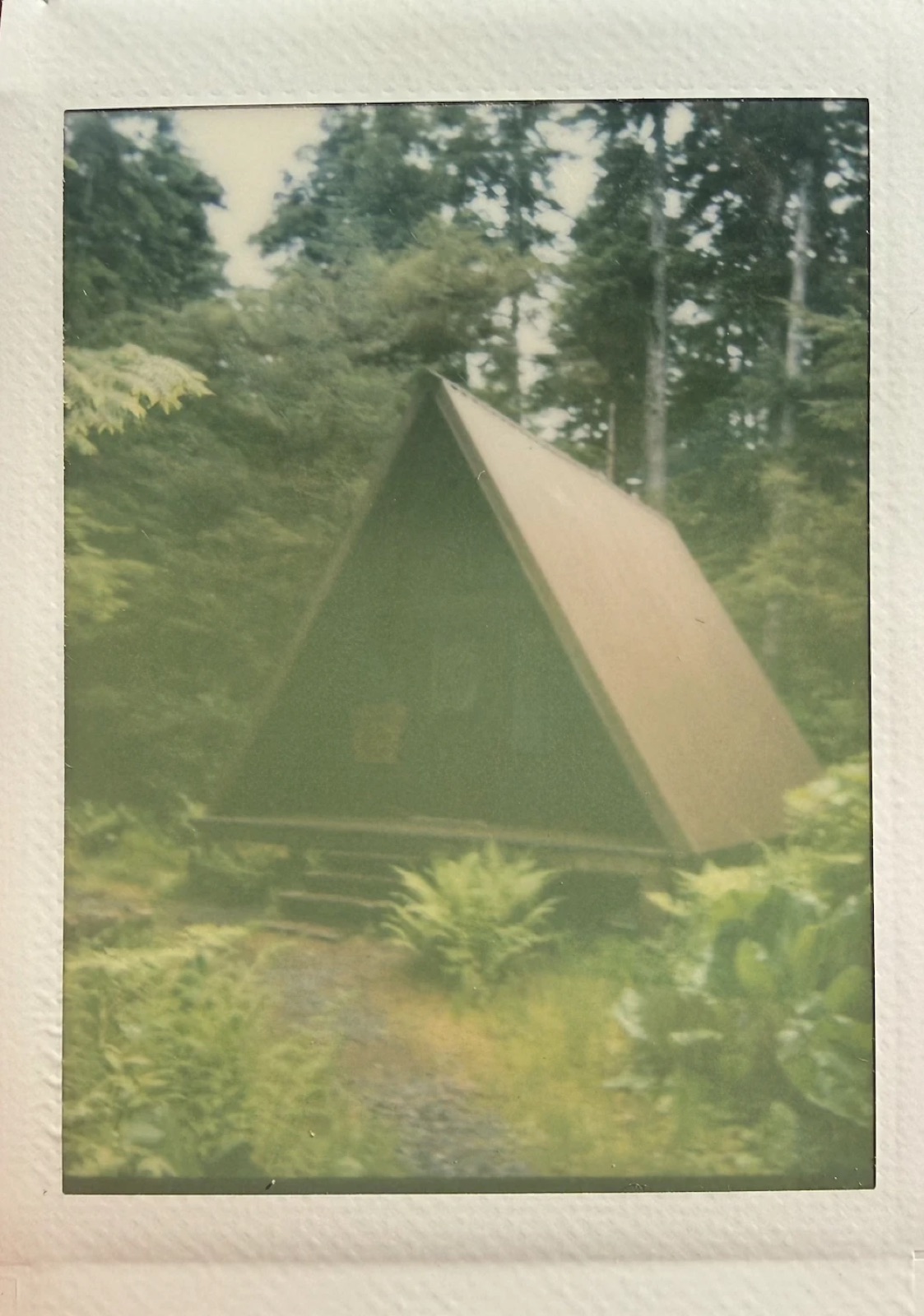
I scribbled down some words about my travels and read old excerpts of John Muir’s travels in Alaska that were tucked away on the cabin’s shelves. Then it started raining hard, so I rigged my raincoat to catch the water running off the roof. Problem solved.
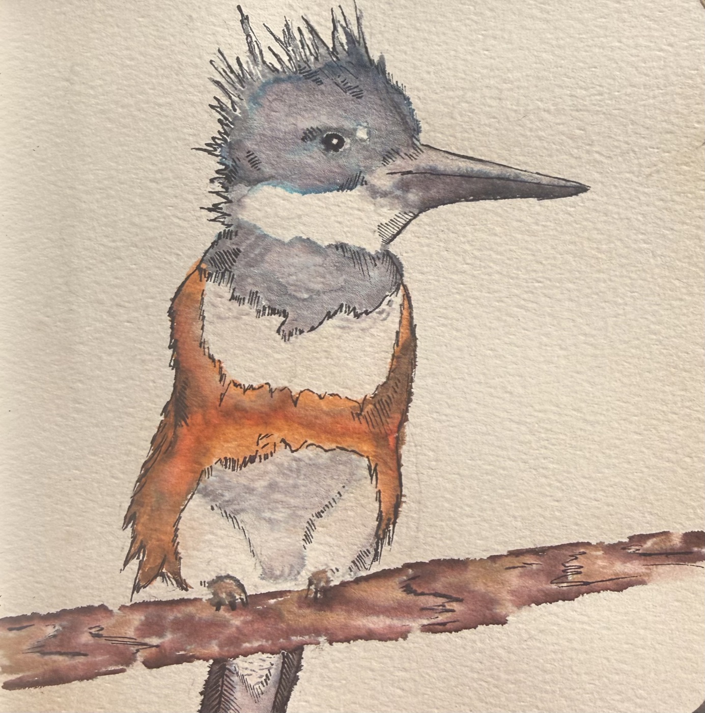
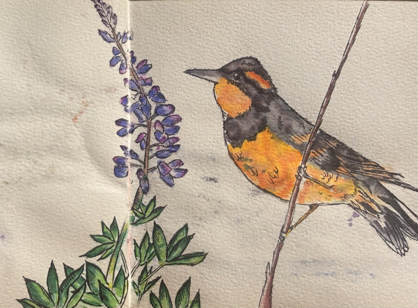
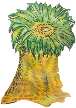
Bad weather rolled in for the next two days, which made paddling impossible, or at least extremely difficult and a little dangerous. So I stayed put. I read, and I practiced watercolor, painting my American mink friend and a loon I’d met earlier in the trip.
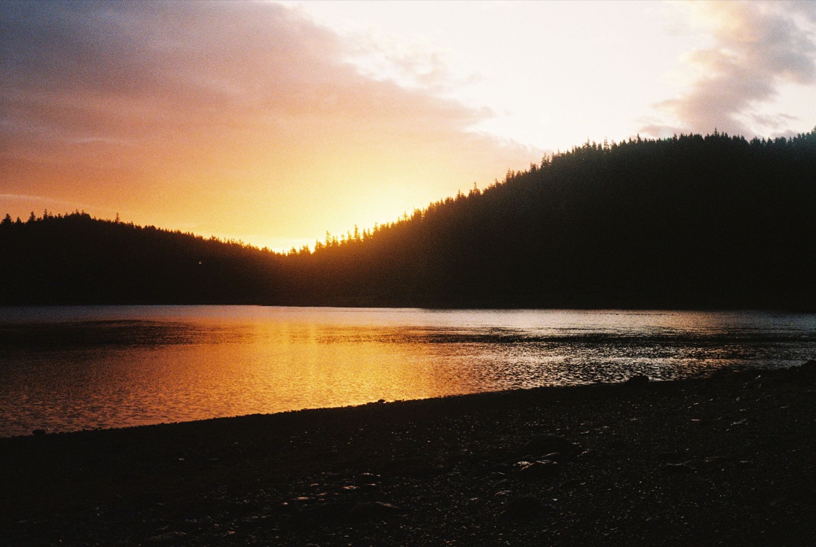
One morning I woke in the cabin to the loveliest melody: a hermit thrush, singing somewhere in the trees outside.
 ← Back to Chronicles
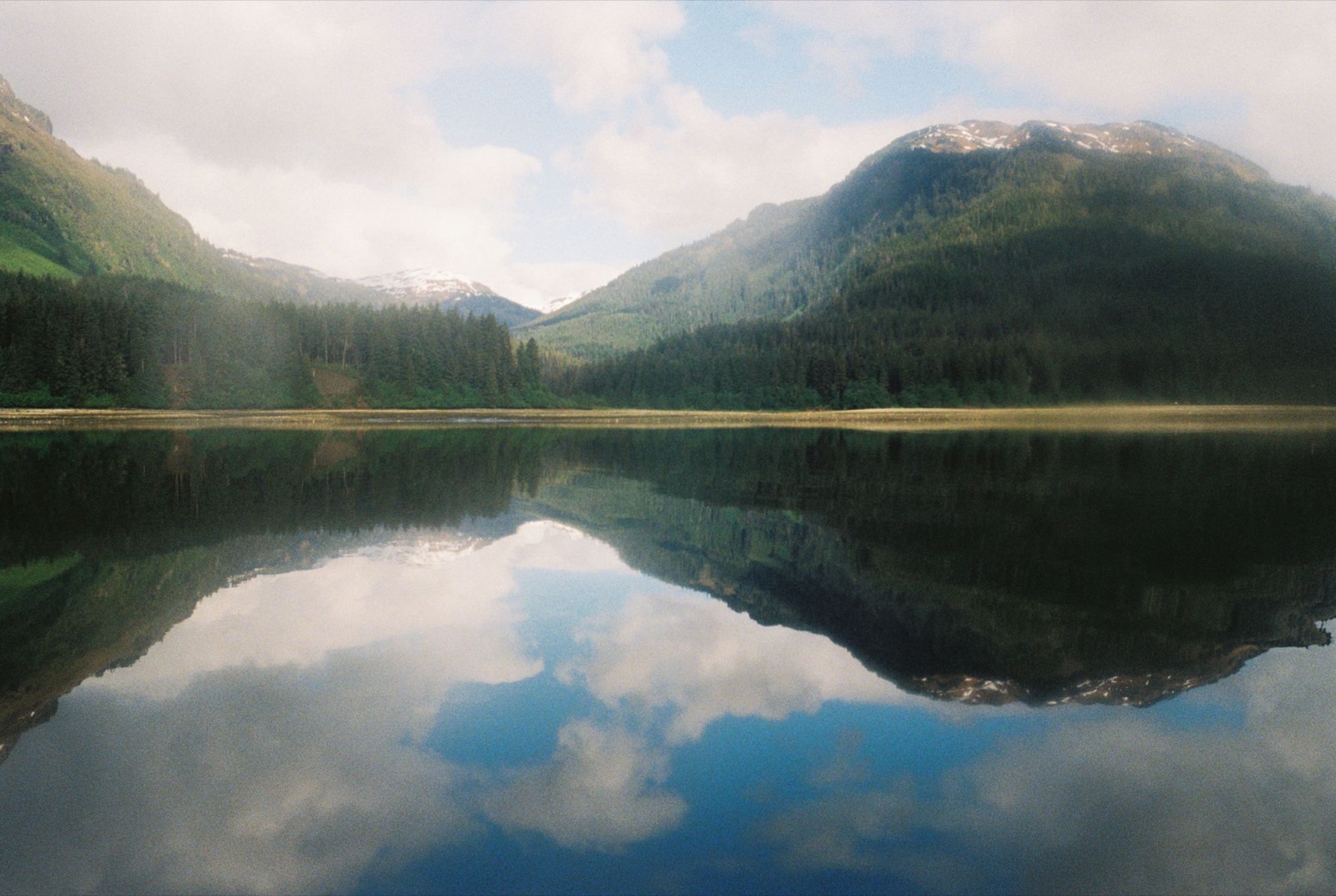
A 14-hour paddle, fighting heavy chop out of the south, took me 45 miles north to a small ranger station near Pack Creek.
I left Gambier Bay around 4am and rounded a windswept point just as the sun began to rise. Whales appeared in the morning light, and their spouts caught the sun in a way that made them shimmer.
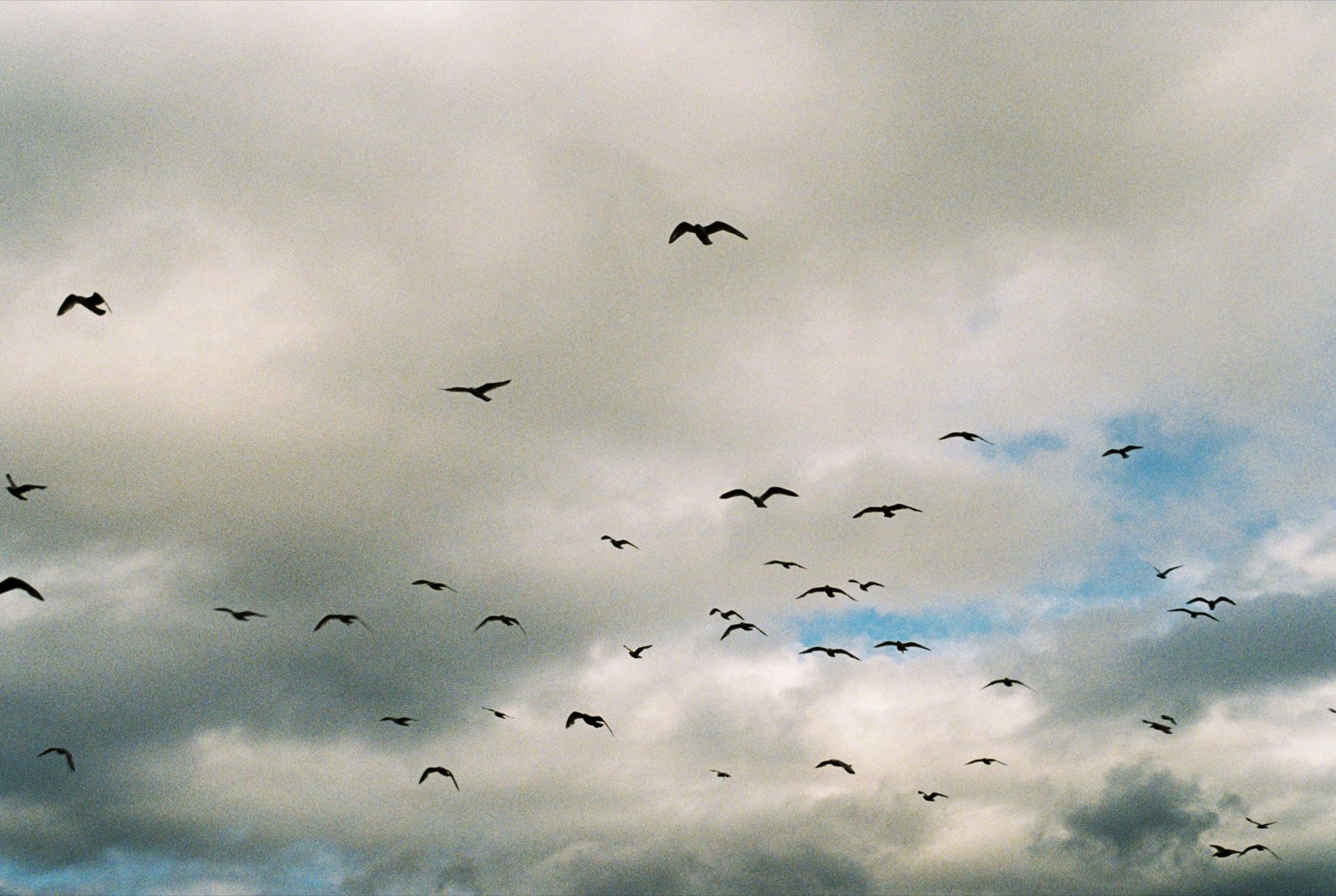
I passed sunflower sea stars with their arms stretched out, some nearly the size of a bike tire, and massive chitons clinging to the rocks. Unfortunately, the water was too rough to take pictures of these guys. I saw a couple of bears on this paddle too. One got scared and sprinted into the bushes.
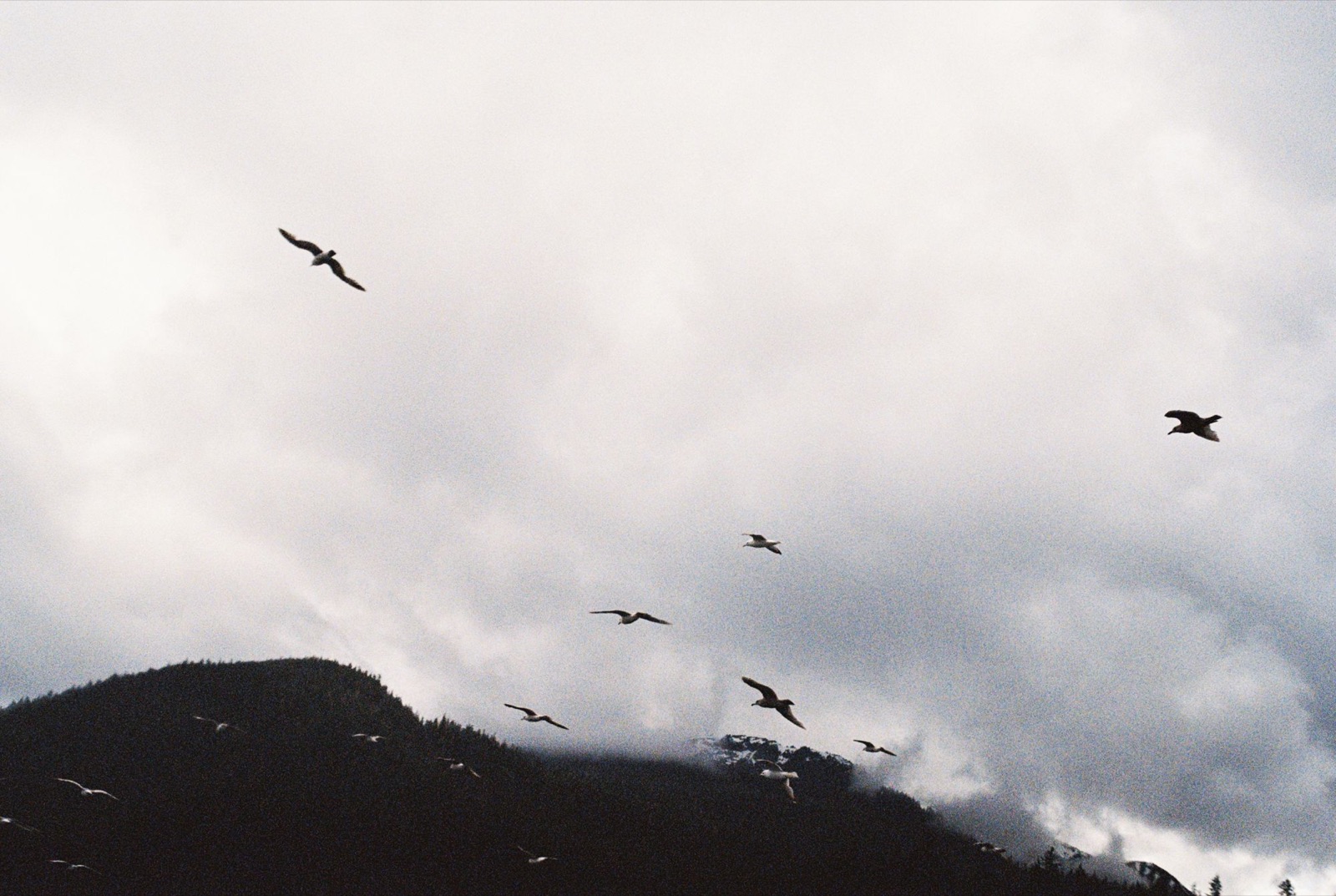
At the remote ranger station I met Chrissy and Lucas, who refilled my water and told me about an ancient candelabra spruce tucked away in the woods a mile to the north. Lots of bears wandered the tidal flats nearby.
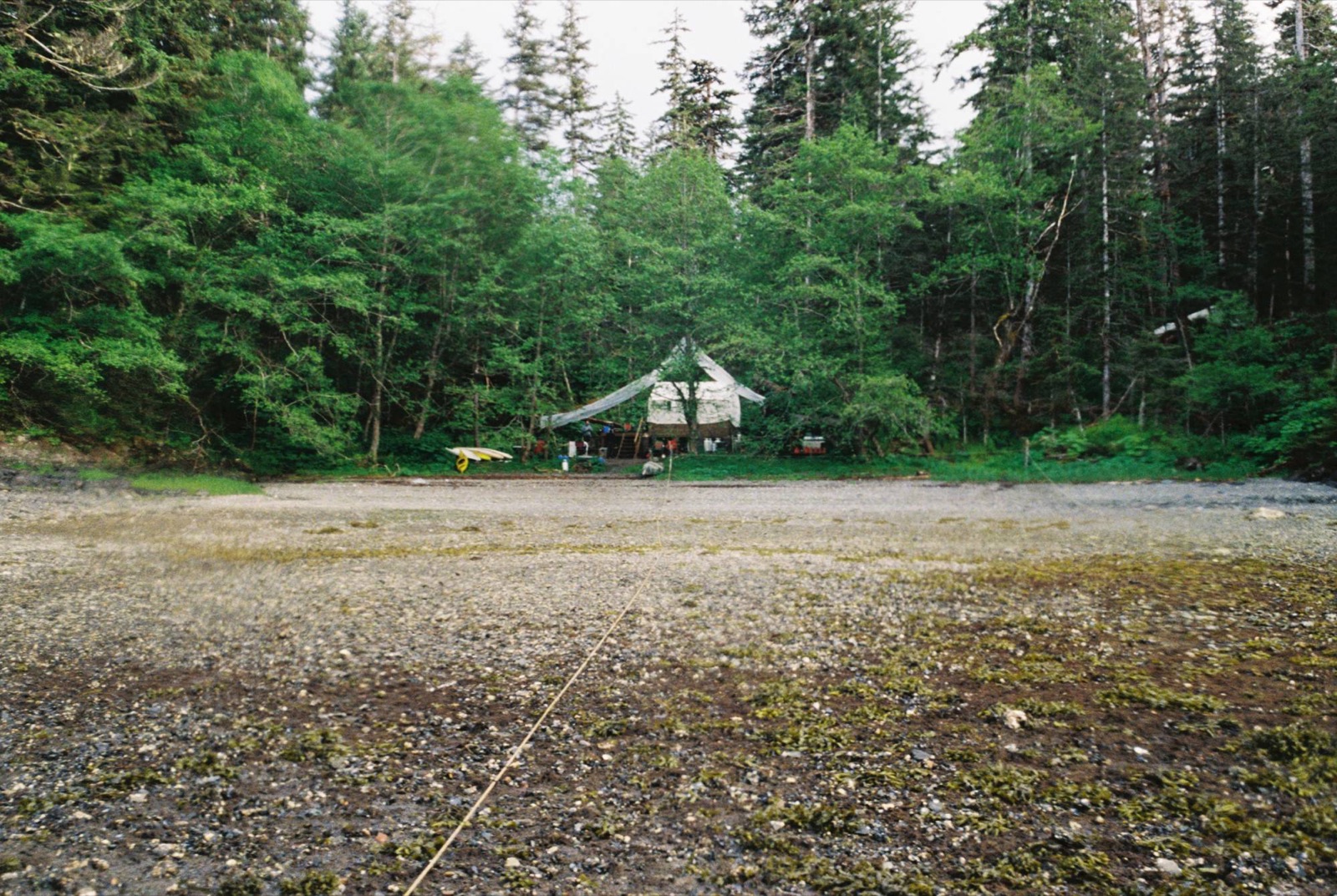
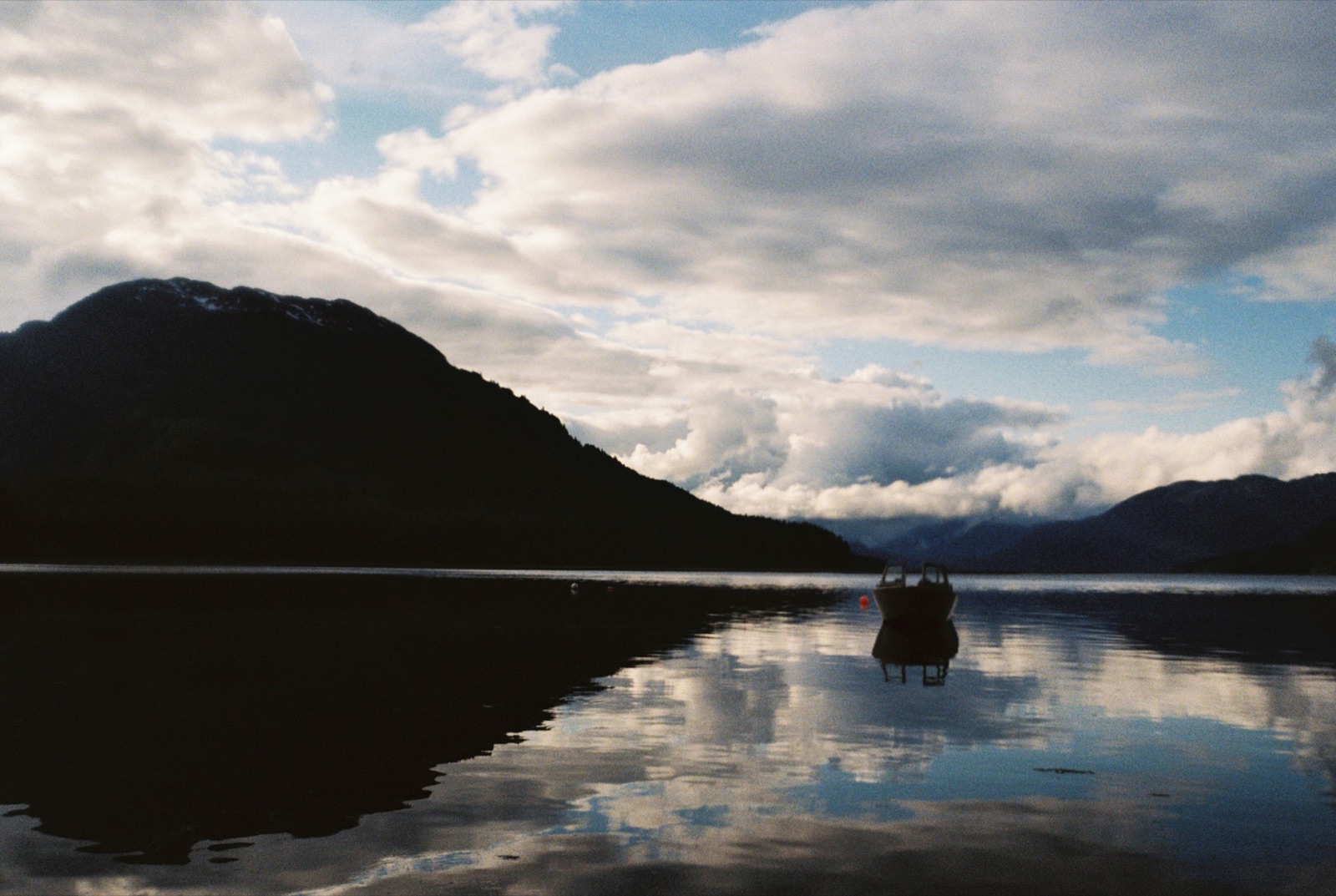
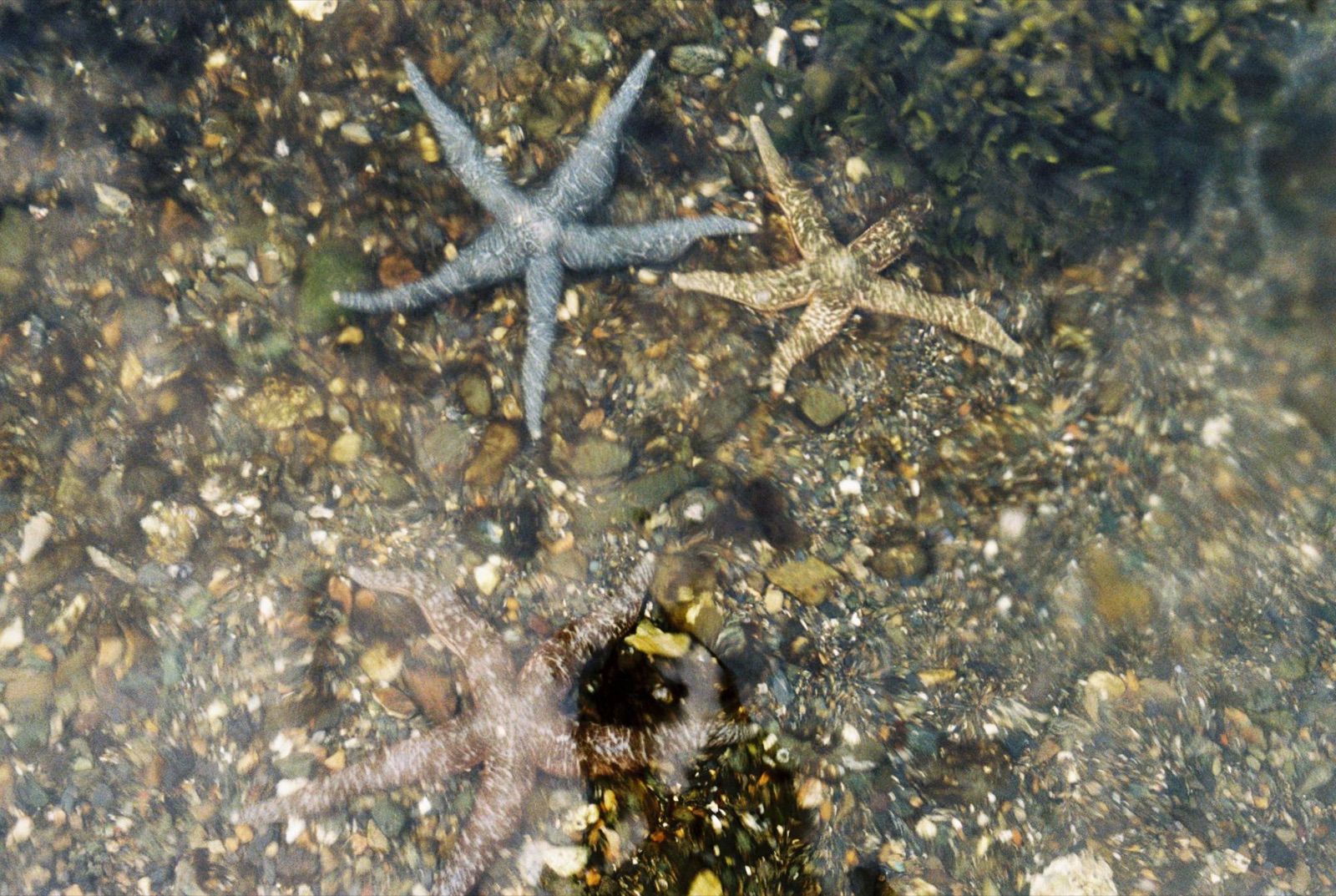
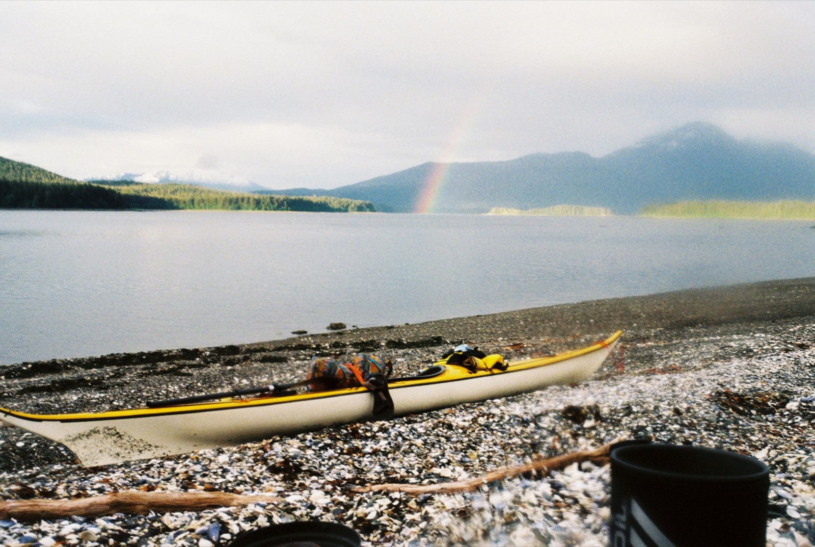
I set up camp on a bed of seashells on Windfall Island. The remains of urchins and crab shells were everywhere, clearly a favorite spot for a river otter or mink. And right before bed, a rainbow appeared on the horizon :)
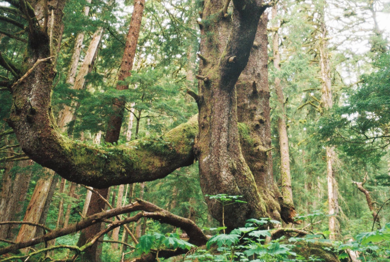
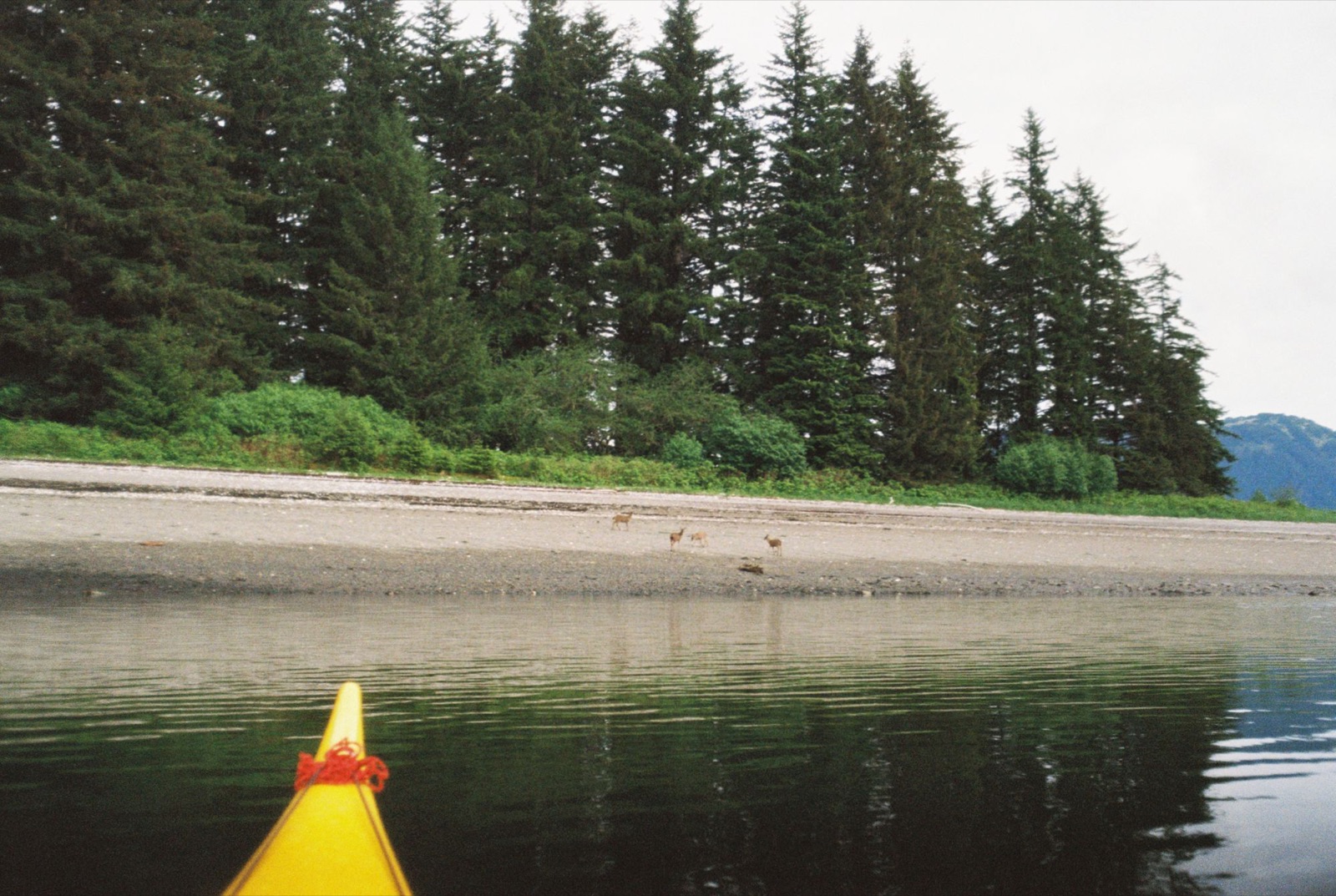
Some deer greeted me before my trek through the forest.
This might be one of the oldest spruce trees in Alaska. It’s hard to grasp the scale. I had to throw my life jacket a couple of feet up just to get it into the natural “window” in the tree for perspective. You could easily sit inside that space.
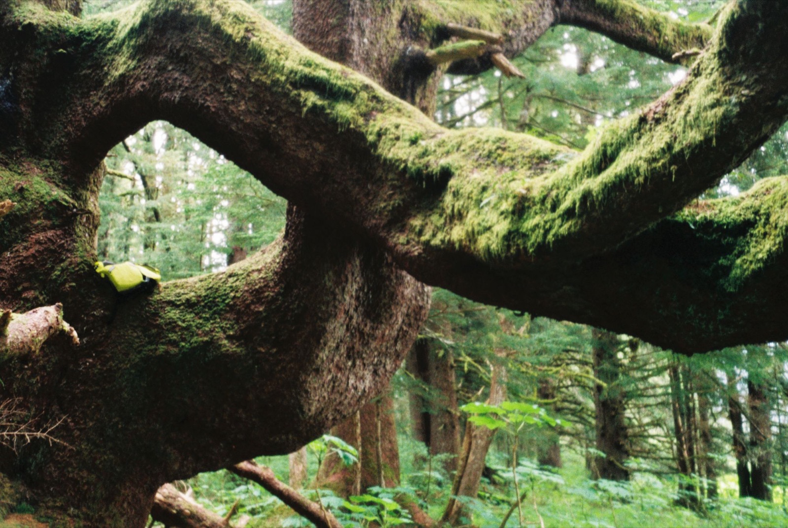
Most of the spruces in the background are mature trees too, and I couldn’t even reach the branches reaching down from the main trunk of this giant. This tree has seen some things. Easily half a millennium of life here.
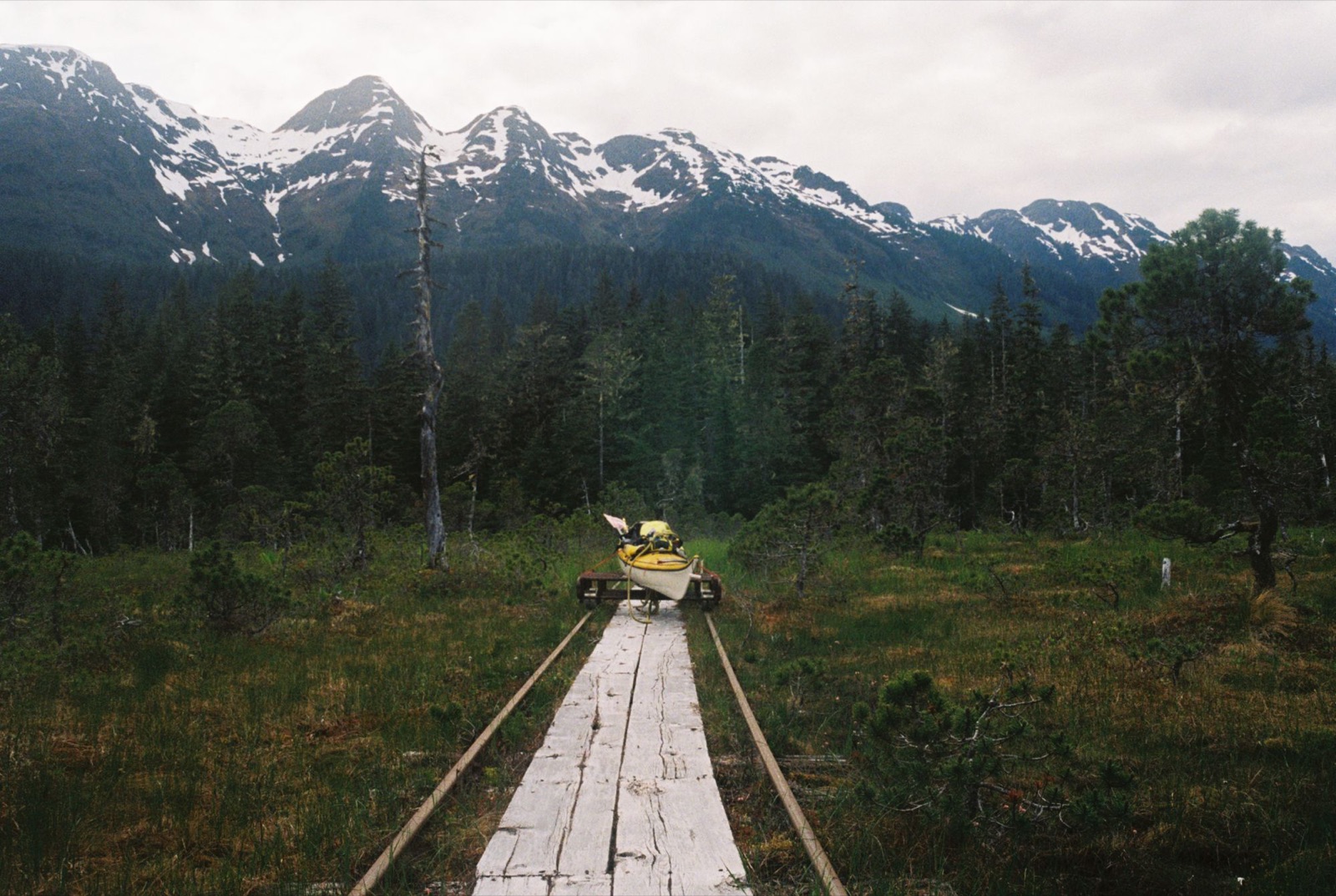
I started the day paddling north-northeast from Pack Creek and accidentally startled a huge group of scoters and other waterfowl. It was windy heading toward Oliver Inlet, and I had to push through a solid headwind.
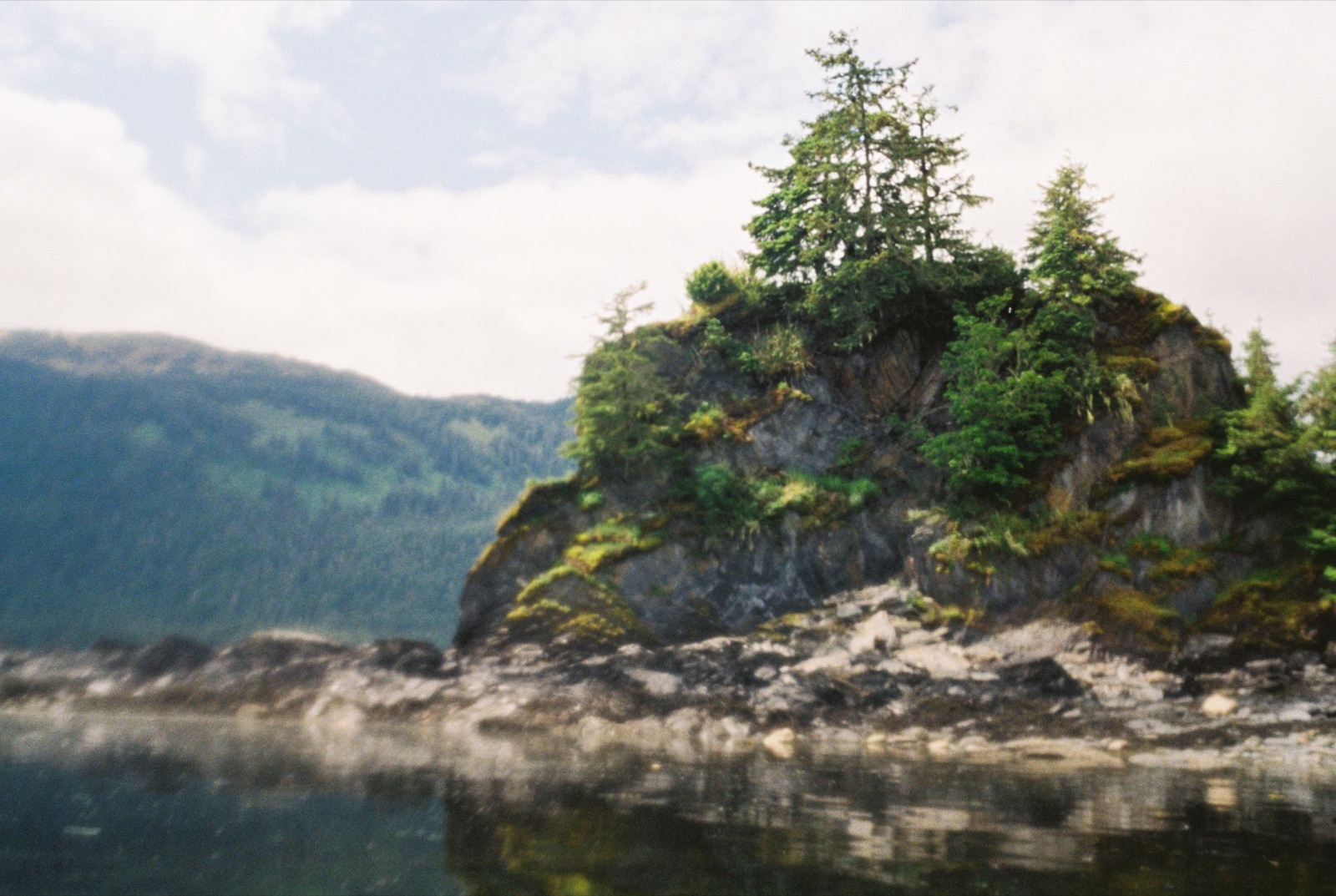
I’d spent three days working my way up Seymour Canal in search of calmer water. The catch is that the end of the canal doesn’t connect to the main channel, which meant portaging a mile of land with all my gear.
To get from Seymour to Oliver Inlet, I used an old mining and hunting cart, strapping the kayak onto its rusted metal frame. It took two and a half hours to cover about three-quarters of a mile. The cart kept falling off the narrow tracks, and every time I stepped off into the bog I sank past my knees. A memorable experience though!! The trail was lined with dense hemlock and skunk cabbage, and dotted with tiny bog flowers.
Eventually I made it to the other side and launched with the ebb tide. I shot through a little rapid with a fun half-foot drop, then soared out into the main channel.
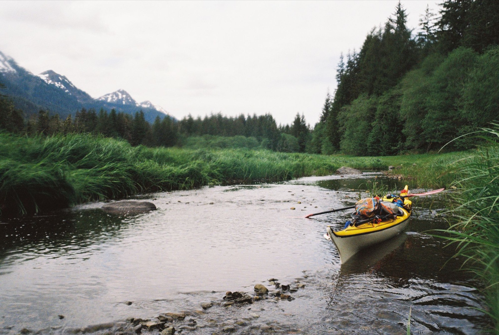
Lots of harlequin ducks and seals were heading west. I finally reached Admiralty Cove near sunset, but the tide wasn’t cooperating, so I had to drag my kayak up half a mile of beach.
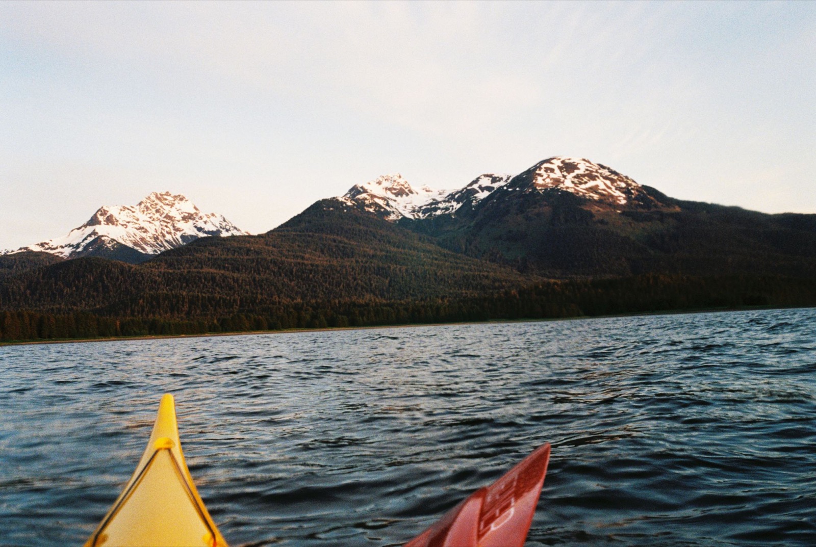
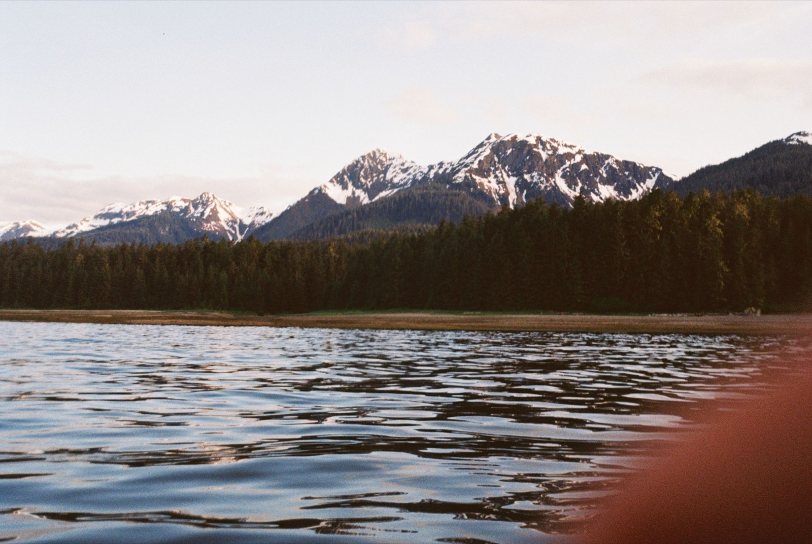
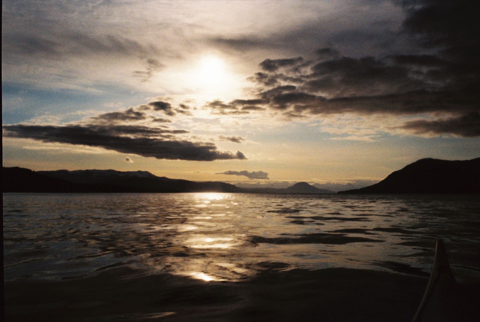
It took roughly an hour and a half to drag the kayak above the point where the tide couldn’t haul my gear away in the middle of the night. I tied everything off to a sizeable driftwood log and went exploring, because supposedly there was a Forest Service cabin tucked away somewhere in the woods.
By now it was an hour or so after sunset, and even in an Alaskan summer, it was dark. I clambered through the forest on what I hoped was a trail and not a game trail. There was lots of fresh bear scat, and every so often a pair of eyes glittered in the distance. I tried to pay them no attention.
I eventually found the cabin and dropped off one or two things, then repeated the trek a couple more times, gripping my bear spray tightly. By the time I finally settled in for the night, it was well into the darkest hours. I realized I was low on food and scarfed down some tiny expired muffin bites a kind stranger had left behind.
I woke up the next morning to a grizzly right beside me. Eventful days! Then again, that’s Admiralty Island: it’s said to have the densest population of brown bears in the world, roughly one per square mile. The Tlingit name for the island, Kootznoowoo, means “Fortress of the Bears.”
Hi! Most of what’s here is shot on analog 35mm film, largely Kodak. I mainly shoot on a Nikonos F Photomic with a 20mm wide-angle lens, and a Nikonos V for more adventurous and underwater shoots. Check out the locations of some of my photos below! If you like any of them, don’t hesitate to reach out. I’d be happy to make you a print.
Interested in a print of one of these? Get in touch
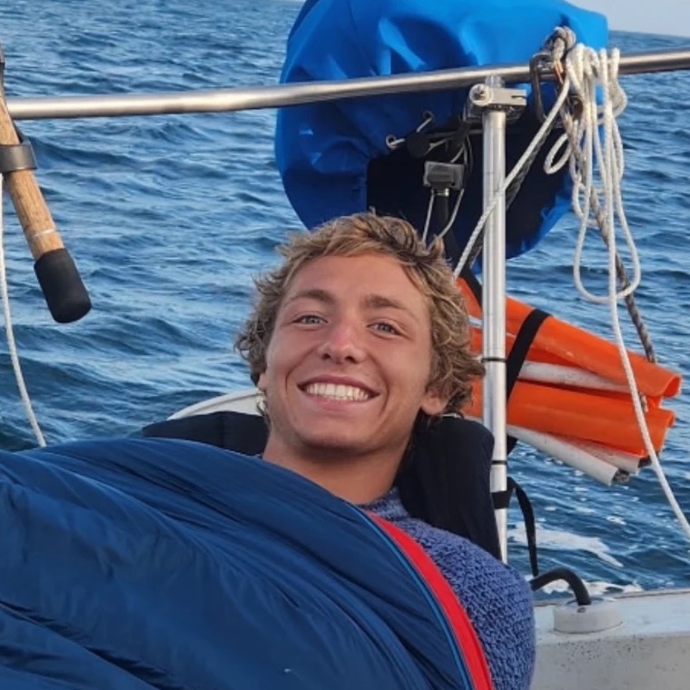
Born and raised in Anchorage, Alaska, I’ve always been drawn to the natural world, from rocks and fossils to the textures and forms found in the landscape.
Now traveling and exploring new places, I find inspiration in the materials and natural features of the environments around me. Through handcrafted jewelry, I aim to carry a little piece of those places with me, creating adornments that maintain a connection to the landscapes that inspire them.
Feel free to send me a message below if you have any questions or are interested in a customized piece!
Interested in receiving a monthly field book?
For $25/month, I send out a thoughtfully curated, personalized virtual field book exploring the ideas, landscapes, materials, and inspirations behind the pieces I’m creating. Each edition offers a closer look into my creative process, with notes from the field, collected curiosities, works in progress, and little fragments of the natural world that find their way into my work (and any new film photos as well!).
Subscribe · $25/month